Bedford in Bedford County, Virginia — The American South (Mid-Atlantic)
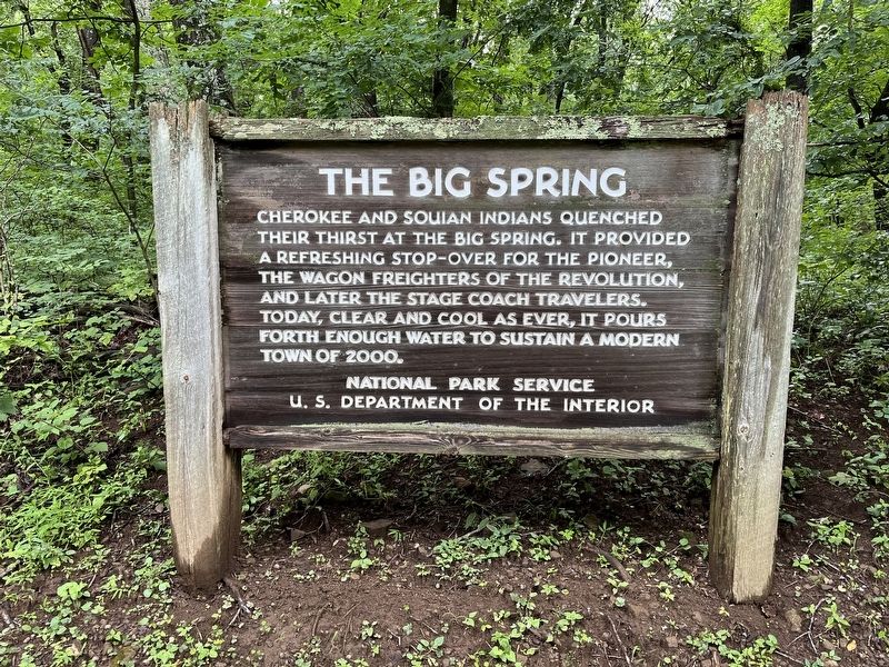
The Big Spring
Photographed by Craig Swain, August 2, 2025
1. The Big Spring Marker
Erected by National Park Service, U.S. Department of the Interior.
Topics. This historical marker is listed in this topic list: Natural Features. A significant historical year for this entry is 2000.
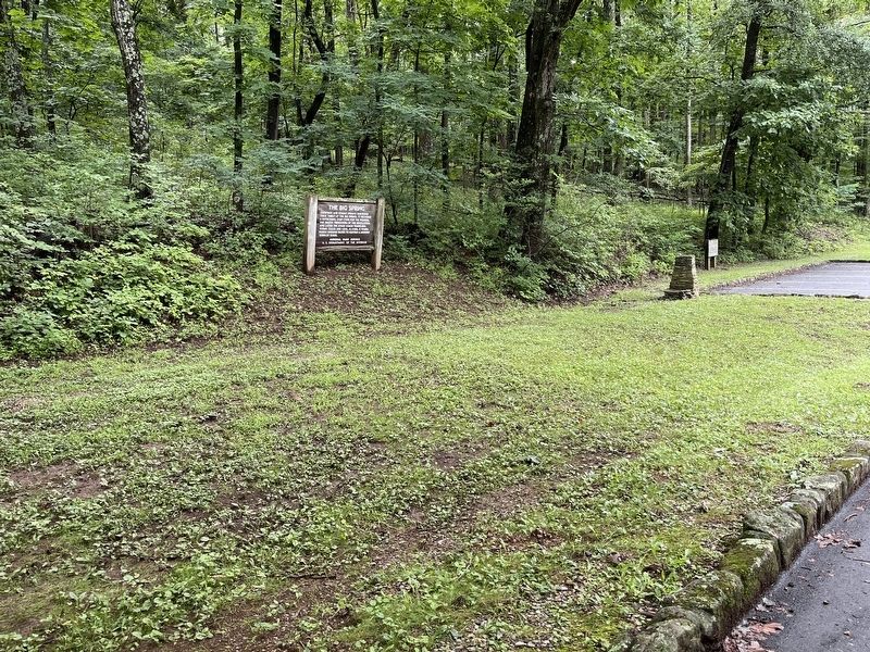
Location. 37° 26.557′ N, 79° 35.853′ W. Marker is in Bedford, Virginia, in Bedford County. It can be reached from Peaks Road (State Highway 43), on the right when traveling north. Marker is located in the Peaks of Otter picnic area, to the left (north) side of the main entrance. Touch for map. Marker is in this post office area: Bedford VA 24523, United States of America. Touch for directions.

Regionally, this marker is in Southwest Virginia. It is also in the American South and specifically in the Upper South. Globally, it is in North America, the Western Hemisphere, the Western World, and the Anglosphere. Historically, it
this page online
Other nearby markers. At least 8 other markers are within walking distance of this marker: Polly Woods' Ordinary (approx. 0.3 miles away); Abbott Lake (approx. half a mile away); Sharp Top Mountain (approx. 0.7 miles away); The Hotel Mons (approx. 0.7 miles away); A Community at "the Mons" (approx. 0.7 miles away); Peaks of Otter (approx. 0.7 miles away); a different marker also named Sharp Top Mountain (approx. ¾ mile away); Johnson Farm (approx. one mile away). Touch for a list and map of all markers in Bedford.
Photographed by Craig Swain, August 2, 2025
2. The Big Spring Marker
Photographed by Craig Swain, August 2, 2025
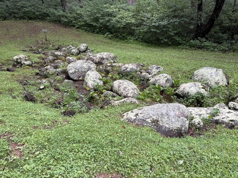
3. The Big Spring
A small sign at the top of the spring warns visitors the water is non-potable and should be treated before consumption. While the marker alludes to continued use of the spring as a source of water, so many external factors affect water quality and purity. The water flow, however, remains strong.
Credits. This page was last revised on August 6, 2025. It was originally submitted on August 6, 2025, by Craig Swain of Leesburg, Virginia. This page has been viewed 86 times since then and 16 times this year. Photos: 1, 2, 3. submitted on August 6, 2025, by Craig Swain of Leesburg, Virginia.
