Munford in Botetourt County, Virginia — The American South (Mid-Atlantic)
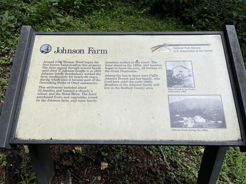
Johnson Farm
Photographed by Craig Swain, August 2, 2025
1. Johnson Farm Marker
This settlement included about 22 families and boasted a church, a school, and the Hotel Mons. The hotel purchased fruits and vegetables raised on the Johnson farm, and some family members worked at the resort. The hotel closed in the 1930s, and families began to leave the area, all victims of the Great Depression.
Among the last to leave were Callie Johnson Bryant and her family, who lived here until the early 1940s. Members of the Johnson family still live in the Bedford County area.
Erected by National Park Service, U.S. Department of the Interior.
Topics. This historical marker is listed in these topic lists: Agriculture • Notable Buildings. A significant historical year for this entry is 1766.
Location. 37° 27.294′ N, 79° 36.326′ W. Marker is in Munford, Virginia, in Botetourt County. It is on Johnson
this page online

Regionally, this marker is in the Mountain Region. It is also in the American South, specifically in the Upper South, in Appalachia, and specifically in Southern Appalachia. Globally, it is in North America, the Western Hemisphere, the Western World, and the Anglosphere. Historically, it finds itself in what was once the territory of the Mississippian Culture, one of the original Thirteen Colonies, one of the Confederate States of America, and the Antebellum South.
Other nearby markers. At least 8 other markers are within walking distance of this marker: Johnson Farm Apple House (within shouting distance of this marker); The Johnson Farmhouse (about 400 feet away, measured in a direct line); The Hotel Mons (approx. 0.4 miles away); Abbott Lake (approx. half a mile away); A Community at "the Mons" (approx. 0.7 miles away); Polly Woods' Ordinary (approx. 0.7 miles
Photographed by Craig Swain, August 2, 2025
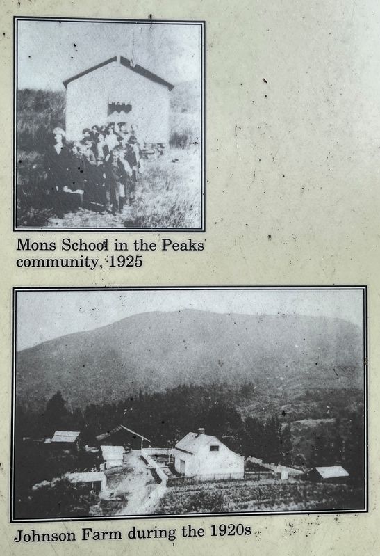
2. Photos on the Right Side of the Marker
The photos are captioned (top) "Mons School in the Peaks community, 1925" and (bottom) "Johnson Farm during the 1920s."
Also see . . . The Peaks of Otter and the Johnson Farm. Article summarizing the history of the Peaks of Otter area, with details about the Johnson Farm. (Submitted on August 6, 2025, by Craig Swain of Leesburg, Virginia.)
Photographed by Craig Swain, August 2, 2025
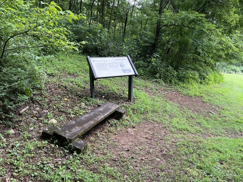
3. Johnson Farm Marker
Photographed by Craig Swain, August 2, 2025
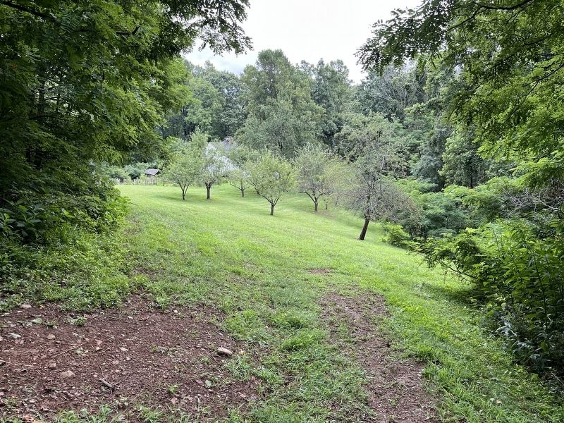
4. Johnson Farm Orchard
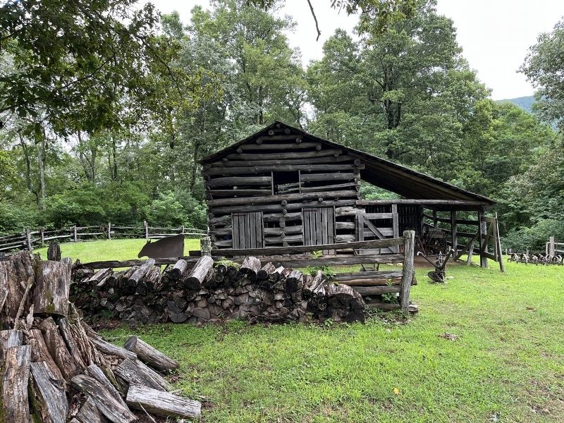
Photographed by Craig Swain, August 2, 2025
5. Johnson Farm Barn
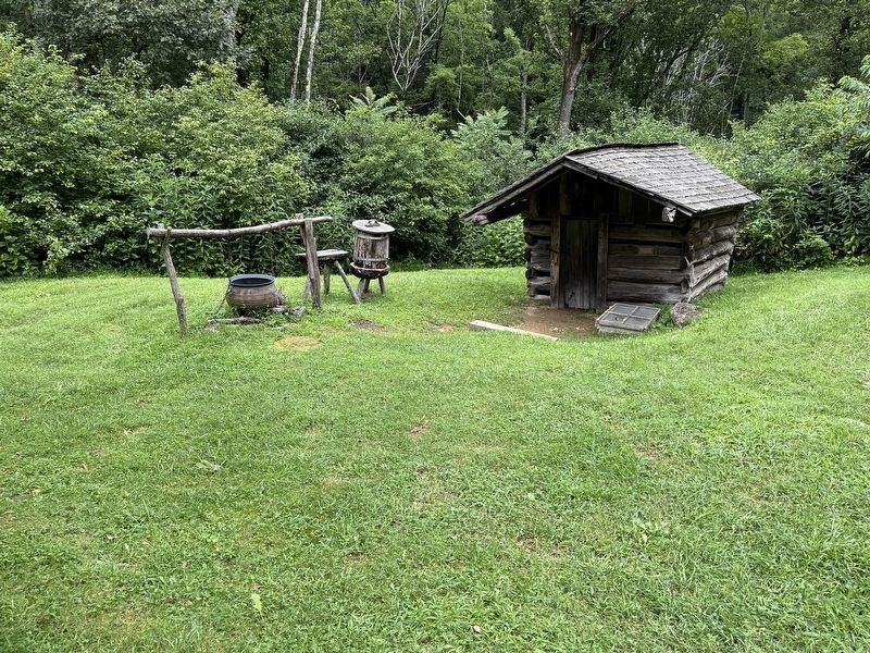
Photographed by Craig Swain, August 2, 2025
6. Springhouse
Credits. This page was last revised on August 6, 2025. It was originally submitted on August 6, 2025, by Craig Swain of Leesburg, Virginia. This page has been viewed 266 times since then and 97 times this year. Photos: 1, 2, 3, 4, 5, 6. submitted on August 6, 2025, by Craig Swain of Leesburg, Virginia.
