Punta Gorda in Charlotte County, Florida — The American South (South Atlantic)
Barron Collier Bridge
Telling Your Story
| — | History in the Park | — |
Photographed by Brandon D Cross, July 31, 2025
1. Barron Collier Bridge Marker
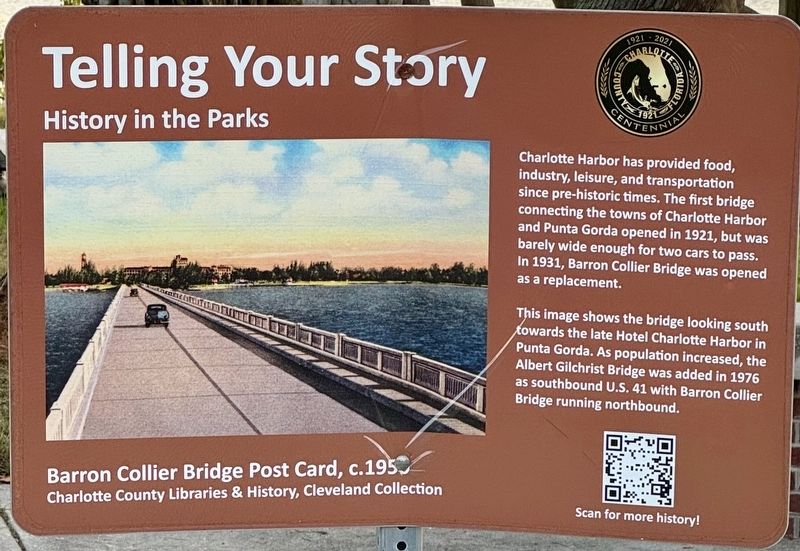
This image shows the bridge looking south towards the late Hotel Charlotte Harbor in Punta Gorda. As population increased, the Albert Gilchrist Bridge was added in 1976 as southbound U.S. 41 with Barron Collier Bridge running northbound.
(caption)
Barron Collier Bridge Post Card, c.1956, Charlotte County Libraries &History, Cleveland Collection
Erected by Charlotte County.
Topics. This historical marker is listed in these topic lists: Bridges & Viaducts • Roads & Vehicles. A significant historical year for this entry is 1931.
Location. 26° 57.424′ N, 82° 4.33′ W. Marker is in Punta Gorda, Florida, in Charlotte County. It is at the intersection of Bayshore Road and Parmely Street, on the left when traveling west on Bayshore Road. Located on the grounds of the Bayshore Live Oak Park. Touch for map. Marker is
this page online

Regionally, this marker is on the Gulf Coast. It is also in the American South and on the Gulf Coast. Globally, it is in the North Atlantic Region, North America, a Gulf of Mexico state, the Western Hemisphere, the Western World, and the Anglosphere. Historically, it finds itself in what was once New Spain, the territory of the Mississippian Culture, one of the Confederate States of America, and the Antebellum South.
Other nearby markers. At least 8 other markers are within 2 miles of this marker, measured as the crow flies: Trinity United Methodist Church (approx. 0.2 miles away); Charlotte Harbor Cemetery (approx. 0.4 miles away); Schoolhouse Square Shopping Center (approx. half a mile away); Hickory Bluff Pioneers (approx. 0.7 miles away); Hickory Bluff Mound (approx. 0.9 miles away); Isaac H. Trabue - Founder of Punta Gorda (approx. 1.7 miles away); Hickory Bluff Cemetery (approx. 1.8 miles away); The Trabue Plat And Waterfront Parks (approx. 1.9 miles away). Touch for a list and map of all
Photographed by Brandon D Cross, July 31, 2025
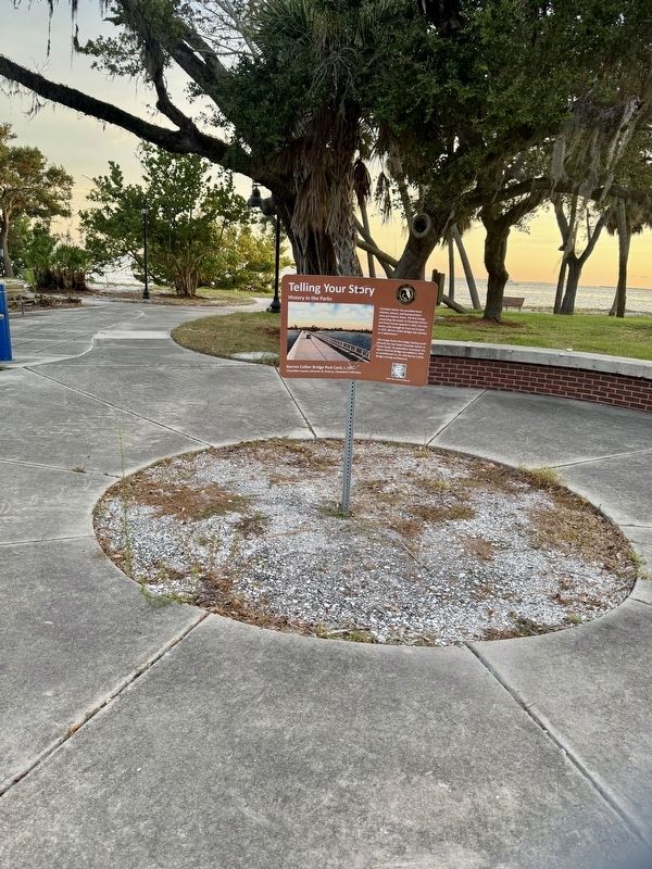
2. Barron Collier Bridge Marker
Also see . . .
1. Harbor Bridges. (Submitted on August 6, 2025, by Brandon D Cross of Flagler Beach, Florida.)
2. Barron Collier Bridge. (Submitted on August 6, 2025, by Brandon D Cross of Flagler Beach, Florida.)
Photographed by Freepik.com
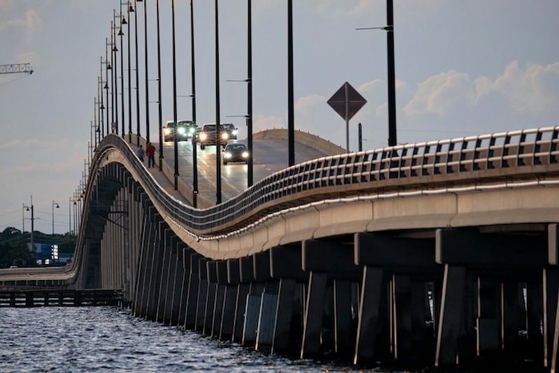
3. Barron Collier Bridge
Credits. This page was last revised on August 7, 2025. It was originally submitted on August 6, 2025, by Brandon D Cross of Flagler Beach, Florida. This page has been viewed 172 times since then and 68 times this year. Photos: 1, 2, 3. submitted on August 6, 2025, by Brandon D Cross of Flagler Beach, Florida. • Andrew Ruppenstein was the editor who published this page.
