
Georgetown in Halton Hills in Halton Region, Ontario — Central Canada (North America)
Rolling Hills Farm
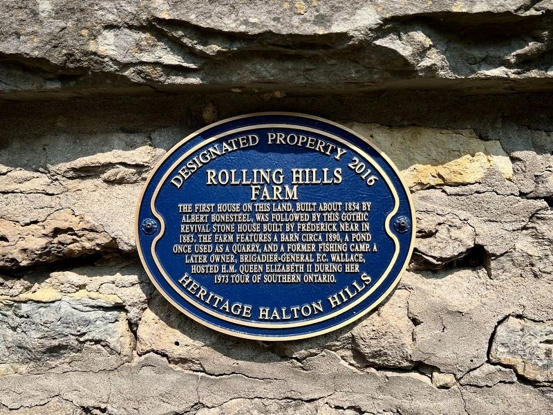
Photographed by Tim Boyd, August 5, 2025
1. Rolling Hills Farm Marker
Erected 2016 by Heritage Halton Hills.
Topics. This historical marker is listed in these topic lists: Agriculture • Architecture. A significant historical year for this entry is 1854.
Location. 43° 43.249′ N, 79° 58.606′ W. Marker is in Halton Hills, Ontario, in Halton Region. It is in Georgetown. It is on Tenth Line half a kilometer 32 Side Road, on the left when traveling south. Touch for map. Marker is at or near this postal address: 14249 10 Line, Halton Hills ON L7G 4S8, Canada. Touch for directions.

Regionally, this marker is in Greater Toronto, specifically on the Golden Horseshoe, in the Hamilton-Halton-Brant Area, and specifically in the Toronto Metropolitan Area. It is also in Central Canada. Globally, it is in North America,
this page online
Other nearby markers. At least 8 other markers are within 8 kilometers of this marker, measured as the crow flies: Rockside (approx. 3.2 kilometers away); Early Settlement in Erin Township (approx. 4 kilometers away); Nathaniel Roszel, First Settlement in Erin Township (approx. 4 kilometers away); Beaumont Knitting Mill (approx. 6.2 kilometers away); St. Alban the Martyr Anglican Church (approx. 6.7 kilometers away); Frazier Shop (approx. 6.9 kilometers away); Laidlaw House (approx. 6.9 kilometers away); Glen Williams Town Hall (approx. 7 kilometers away). Touch for a list and map of all markers in Halton Hills.
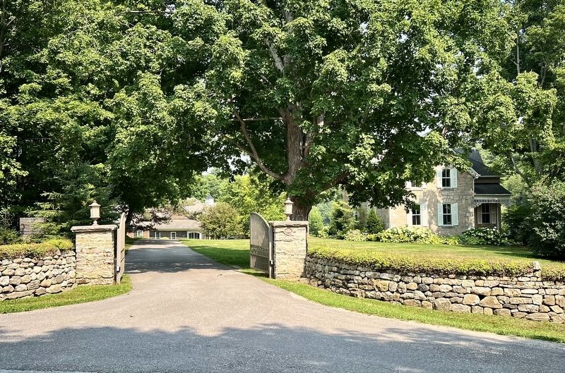
Photographed by Tim Boyd, August 5, 2025
2. Rolling Hills Farm Marker
Marker is on the right pillar at the entrance
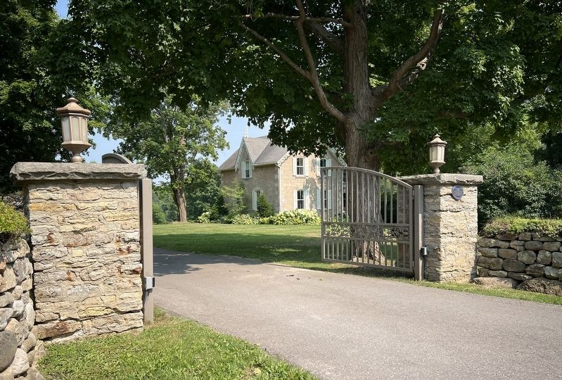
Photographed by Tim Boyd, August 5, 2025
3. Rolling Hills Farm Marker
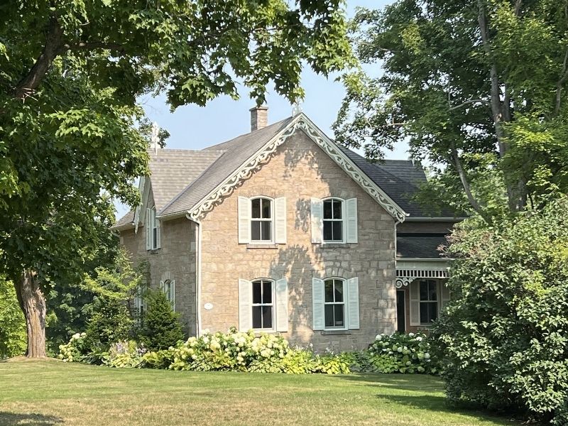
Photographed by Tim Boyd, August 5, 2025
4. Rolling Hills farmhouse, 2025
Credits. This page was last revised on August 7, 2025. It was originally submitted on August 7, 2025, by Tim Boyd of Hamilton, Ontario. This page has been viewed 116 times since then and 37 times this year. Photos: 1, 2, 3, 4. submitted on August 7, 2025, by Tim Boyd of Hamilton, Ontario. • Andrew Ruppenstein was the editor who published this page.
