
Halton Hills in Halton Region, Ontario — Central Canada (North America)
Churchill Cemetery
Photographed by Tim Boyd, August 5, 2025
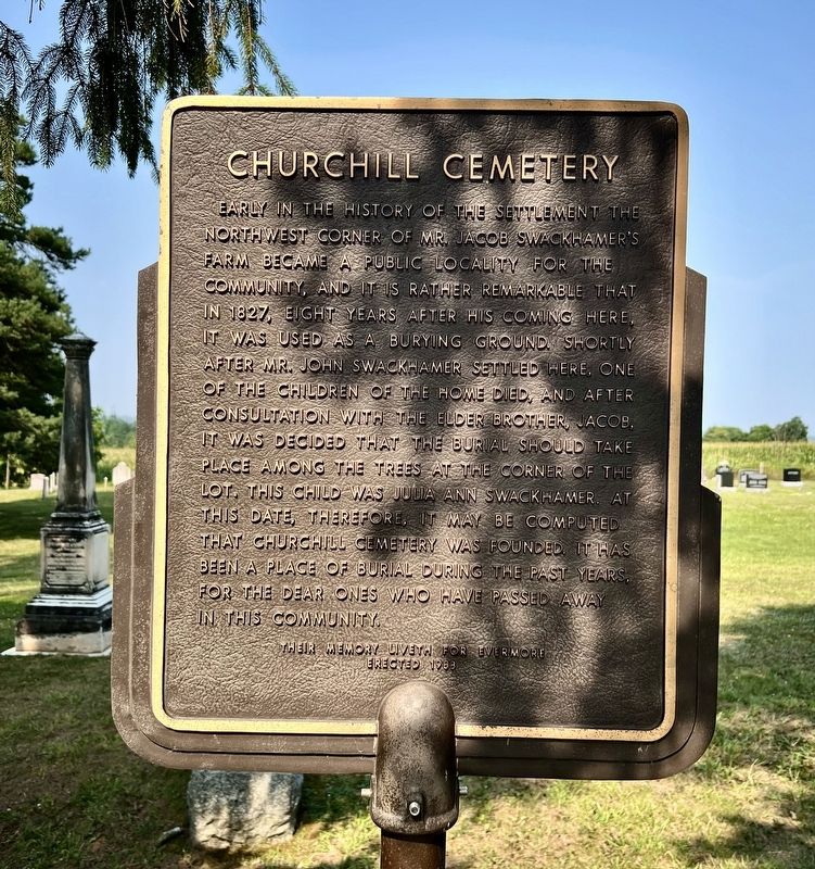
1. Churchill Cemetery Marker
Erected 1983.
Topics. This historical marker is listed in these topic lists: Cemeteries & Burial Sites • Settlements & Settlers. A significant historical year for this entry is 1827.
Location. 43° 39.42′ N, 80° 3.272′ W. Marker is in Halton Hills, Ontario, in Halton Region. It is at the intersection of Third Line and Halton-Erin Townline, on the left when traveling south on
this page online

Regionally, this marker is in Greater Toronto, specifically on the Golden Horseshoe, in the Hamilton-Halton-Brant Area, and specifically in the Toronto Metropolitan Area. It is also in Central Canada. Globally, it is in North America, on the Great Lakes, in the Western Hemisphere, in the Western World, and in the Anglosphere. Historically, it finds itself in what was once a British colony, the Viceroyalty of New France, the Haudenosaunee (Iroquois) Confederacy, and Rupert’s Land.
Other nearby markers. At least 8 other markers are within 3 kilometers of this marker, measured as the crow flies: 1800s The Origins of Dolly Varden (approx. 2.9 kilometers away); Late 1800s - 1900s Lime Kiln Technology (approx. 2.9 kilometers away); Mid-to-Late 1900s Acton Quarry & Its Commercial Operations (approx. 2.9 kilometers away); 2001 - Present Day Dufferin Aggregates Acton Quarry (approx. 2.9 kilometers away); Acton (approx. 3 kilometers away); Syndicate Houses Heritage District (approx.
Photographed by Tim Boyd, August 5, 2025
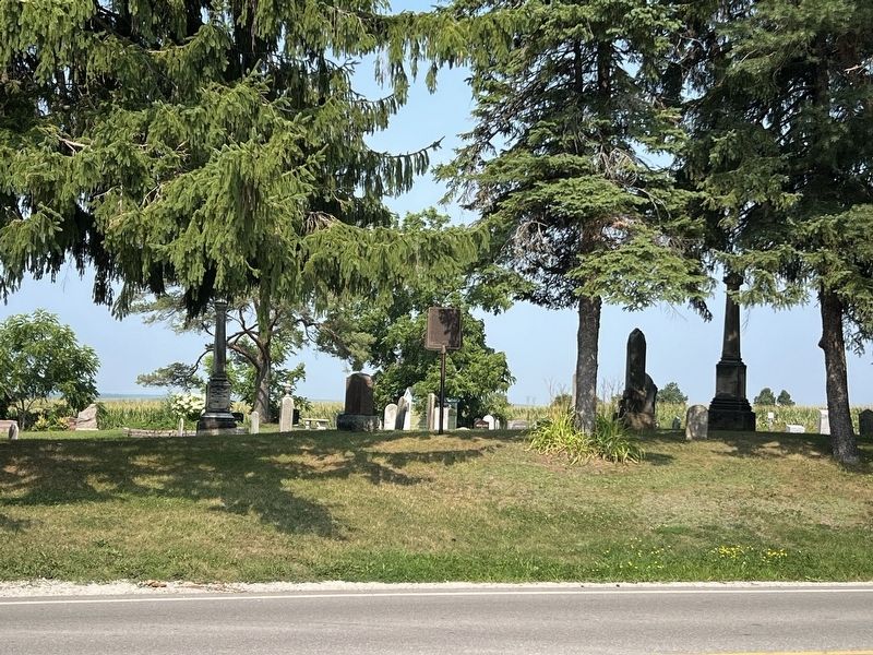
2. Churchill Cemetery Marker
Photographed by Tim Boyd, August 5, 2025
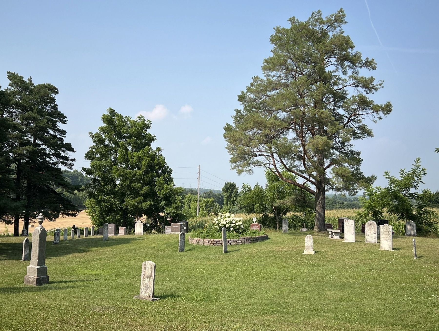
3. Churchill Cemetery, 2025
Credits. This page was last revised on August 7, 2025. It was originally submitted on August 7, 2025, by Tim Boyd of Hamilton, Ontario. This page has been viewed 99 times since then and 20 times this year. Photos: 1, 2, 3. submitted on August 7, 2025, by Tim Boyd of Hamilton, Ontario. • Andrew Ruppenstein was the editor who published this page.
