Municipio Roma X in Ostia Antica in Città metropolitana di Roma Capitale, Latium, Rome, Italy — Central Italy (Tyrrhenian Coast)
The Archeological Area of Ostia Antica
European Heritage Label
⎯⎯⎯
L'Area Archeologica di Ostia Antica
Marchio del Patrimonio Europeo
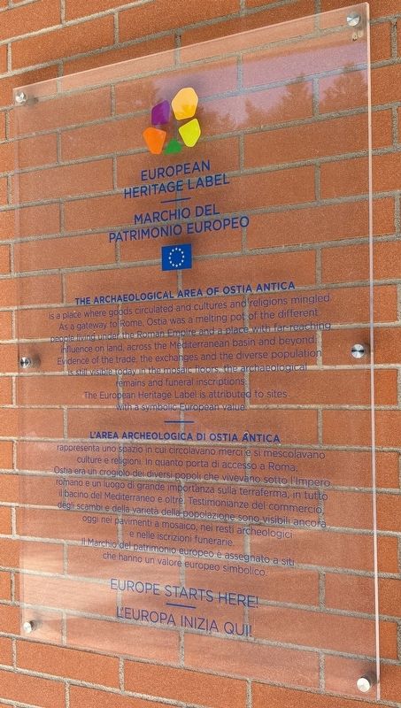
Photographed by Sean P. Flynn, August 5, 2025
1. The Archeological Area of Ostia Antica / L'Area Archeologica di Ostia Antica Marker
The European Heritage Label is attributed to sites with a symbolic European value.
L'Area Archeologica di Ostia Antica rappresenta uno spazio in cui circolavano merci e si mescolavano culture e religioni. In quanto porta di accesso a Roma, Ostia era un crogiolo dei diversi popli che vivevano sotto l'Impero romano e un luogo di grande importanza sulla terraferma, in tutto il bacino del Mediterraneo e oltre. Testimonianze del commercio, degli scambi e della a varietà della popolazione sono visibili ancora oggi nei pavimenti a mosaico, nei resti archeologici e nelle iscrizioni funerarie.
Il Marchio del patrimonio europeo è assegnato a siti che hanno un valore europeo simbolico.
⎯⎯⎯
L'Europa Inizia Qui!
Erected by European Commission.
Topics. This historical marker is listed in these topic lists: Anthropology & Archaeology • Arts, Letters, Music • Industry & Commerce.
Location. 41° 45.497′ N, 12° 17.865′ E. Marker is in Ostia Antica, Lazio (Latium, Rome), in Città metropolitana di Roma Capitale. It is in Municipio Roma X. It is on Viale degli Scavi west of Viale dei Romagnoli, on the right when traveling west. The sign is affixed to the wall of the ticket center (biglietteria) to the Ostia Antica archeological park. Touch for map. Marker is
this page online

Regionally, it is in Europe, the European Union, the Schengen Area, a coastal Mediterranean country, and the Western World. Historically, it finds itself in what was once the Roman Empire.
Other nearby markers. At least 8 other markers are within walking distance of this marker: Ostia Antica: Storia e Sviluppo Urbano / Ancient Ostia: History and Urban Development (within shouting distance of this marker); La Necropoli della Via Ostiense / The Via Ostiensis Necropolis (about 90 meters away, measured in a direct line); Area Archeologica di Ostia / Archeological Area of Ostia (about 90 meters away); Tomba degli Archetti / Tomb of the Arches (about 150 meters away); Mura Repubblicane — Porta Romana / Republican Walls — Roman Gate (about 180 meters away); Magazzini Repubblicani e Caseggiato del Cane Monnus / Republican Warehouses and Cane Monnus Building (about 210 meters away); L'Area a Servizio del Fiume e Il Quartiere Dei Magazzini / Area Serving River and Warehouse District (about 210 meters away); Cippi di Caninio / The Boundary Stones of Gaius Caninius

Photographed by Sean P. Flynn, August 5, 2025
2. The marker at the entrance of Ostia Antica
Regarding The Archeological Area of Ostia Antica / L'Area Archeologica di Ostia Antica. Ostia Antica was awarded the European Heritage Label in 2020.
Also see . . . Archaeological Area of Ostia Antica (Italy). From the European Commission website (Submitted on August 8, 2025, by Sean P. Flynn of Oak Park, Illinois.)
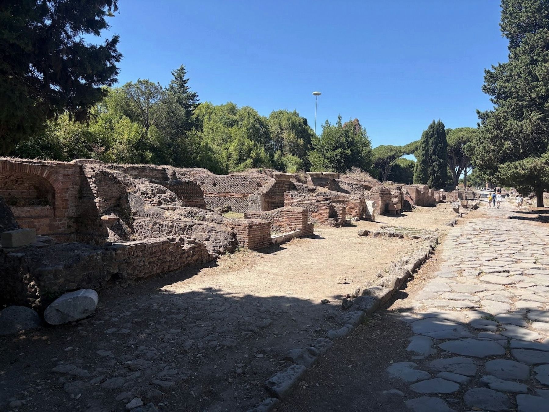
Photographed by Sean P. Flynn, August 5, 2025
3. The Archeological Area of Ostia Antica
At its peak, more than 50,000 people lived in Ostia Antica.
Credits. This page was last revised on August 8, 2025. It was originally submitted on August 8, 2025, by Sean P. Flynn of Oak Park, Illinois. This page has been viewed 73 times since then and 16 times this year. Photos: 1, 2, 3. submitted on August 8, 2025, by Sean P. Flynn of Oak Park, Illinois.
