Near Guntersville in Marshall County, Alabama — The American South (East South Central)
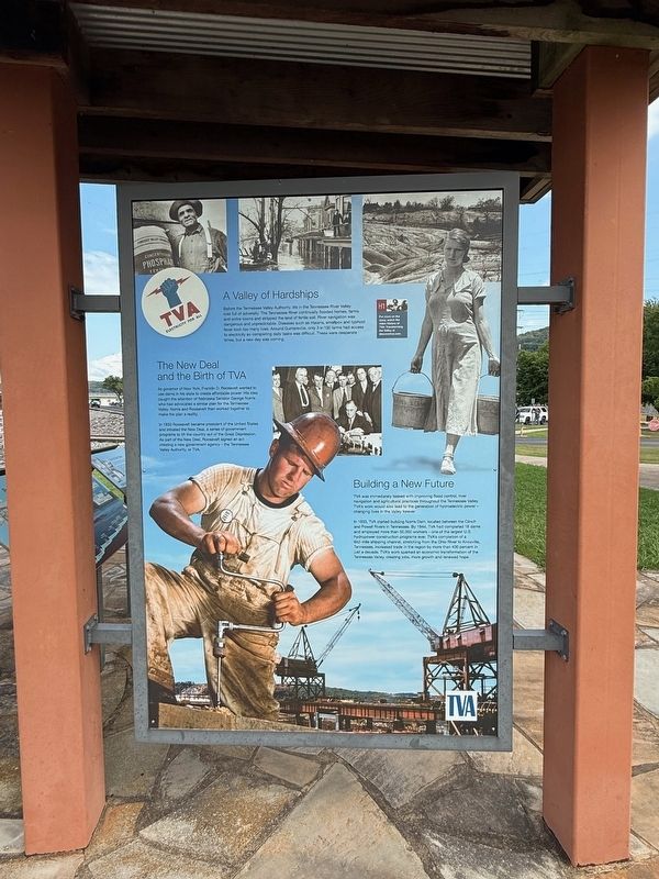
A Valley of Hardships
Photographed by Deborah Spencer, August 2, 2025
1. A Valley of Hardships Marker
In 1933 Roosevelt became president of the United States and initiated the New Deal, a series of government programs to lift the country out of the Great Depression. As part of the New Deal, Roosevelt signed an act creating a new government agency - The Tennessee Valley Authority,
this page online
In 1933, TVA started building Norris Dam, located between the Clinch and Powell Rivers in Tennessee. By 1944, TVA had completed 16 dams and employed more than 50,000 workers - one of the largest U.S. hydropower construction programs ever. TVA's completion of a 652-mile shipping channel, stretching from the Ohio River to Knoxville, Tennessee, increased trade in the region by more than 400 percent in just a decade. TVA's work sparked an economic transformation of the Tennessee Valley, creating jobs, more growth and renewed hope.
Erected by Tennessee Valley Authority.
Topics. This historical marker is listed in these topic lists: Charity & Public Work • Industry & Commerce • Waterways & Vessels.
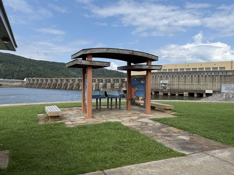
Location. 34° 25.357′ N, 86° 23.707′ W. Marker is near Guntersville, Alabama, in Marshall County. It is
Photographed by Deborah Spencer, August 2, 2025
2. A Valley of Hardships Marker

Regionally, this marker is in North Alabama. It is also in the American South, specifically in the Deep South, in Appalachia, and specifically in Southern Appalachia. Globally, it is in North America, a Gulf of Mexico state, the Western Hemisphere, the Western World, and the Anglosphere. Historically, it finds itself in what was once the original Cherokee Nation, the territory of the Mississippian Culture, one of the Confederate States of America, and the Antebellum South.
Other nearby markers. At least 8 other markers are within 5 miles of this marker, measured as the crow flies: A Mission of Service (here, next to this marker); TVA Goes to War (here, next to this marker); Rolling Goods Down the River (here, next to this marker); How the Dam Works (here, next to this marker); Promoting Your Prosperity (here, next to this marker); Guntersville Dam (a few steps from this marker); a different marker also named Guntersville Dam (approx. 0.4 miles away); Gen. Andrew Jackson's Fort Deposit (approx. 4.8 miles away). Touch for a list and map of all markers in Guntersville.
Credits. This page was last revised on August 9, 2025. It was originally submitted on August 8, 2025, by Deborah Spencer of Huntsville, Alabama. This page has been viewed 242 times since then and 41 times this year. Photos: 1, 2. submitted on August 8, 2025, by Deborah Spencer of Huntsville, Alabama. • James Hulse was the editor who published this page.
