Mount Vernon in Knox County, Ohio — The American Midwest (Great Lakes)
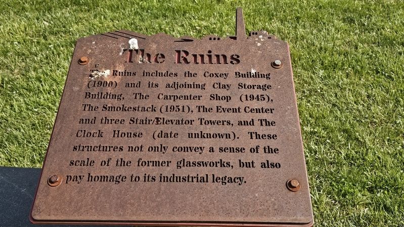
The Ruins
Photographed by Ian Lefkowitz, June 2, 2025
1. The Ruins Marker
Topics. This historical marker is listed in these topic lists: Industry & Commerce • Parks & Recreational Areas.
Location. 40° 23.041′ N, 82° 29.721′ W. Marker is in Mount Vernon, Ohio, in Knox County. It is on Pittsburgh Avenue west of Neil Avenue. Touch for map. Marker is at or near this postal address: 10 Pittsburgh Ave, Mount Vernon OH 43050, United States of America. Touch for directions.

Regionally, this marker is in Amish Country. It is also in the American Midwest and in the Corn Belt. Globally, it is in North America, the Western Hemisphere, the Western World, and the Anglosphere. Historically, it finds itself in what was once the Haudenosaunee (Iroquois) Confederacy, the territory of the Mississippian
this page online
Other nearby markers. At least 8 other markers are within walking distance of this marker: A different marker also named The Ruins (here, next to this marker); Carpenter Shop (within shouting distance of this marker); The Terraces (within shouting distance of this marker); a different marker also named The Terraces (about 300 feet away, measured in a direct line); River of Glass (about 400 feet away); Elevator & Stair Tower (about 400 feet away); Ridge Truss Sculpture (about 500 feet away); Rastin Observation Tower (about 500 feet away). Touch for a list and map of all markers in Mount Vernon.
Photographed by Ian Lefkowitz, June 2, 2025
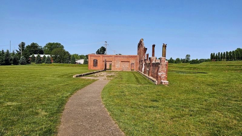
2. The Ruins
Ariel-Foundation Park includes the ruins of the Coxey Building, part of the Pittsburg Plate Glass manufacturing plant.
Photographed by Ian Lefkowitz, June 2, 2025
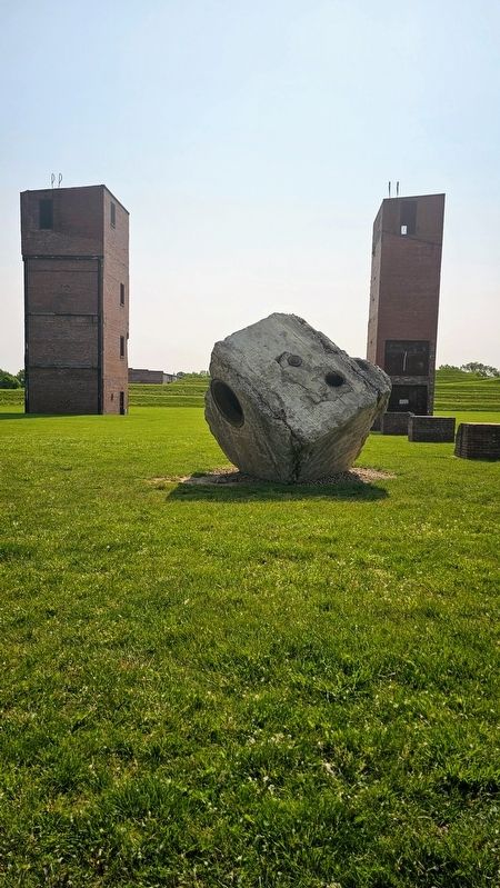
3. The Ruins
The former PPG Works No. 11, now adaptively reused as parkland.
Photographed by Ian Lefkowitz, June 2, 2025
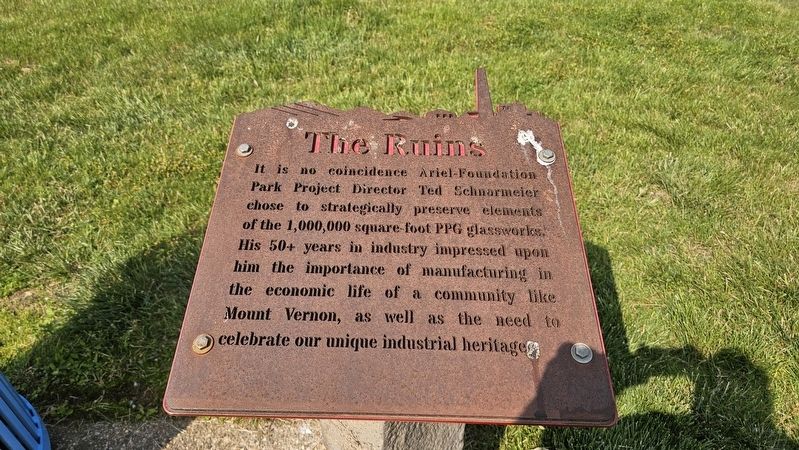
4. The Ruins Marker
This additional marker describes the inspiration behind Ariel-Foundation Park.
Credits. This page was last revised on September 5, 2025. It was originally submitted on August 9, 2025, by Ian Lefkowitz of New York, New York. This page has been viewed 84 times since then and 24 times this year. Photos: 1, 2, 3, 4. submitted on August 9, 2025, by Ian Lefkowitz of New York, New York. • Bill Pfingsten was the editor who published this page.
