Georgetown in Halton Hills in Halton Region, Ontario — Central Canada (North America)
Site of the Georgetown Wesleyan Methodist Meeting House and Cemetery
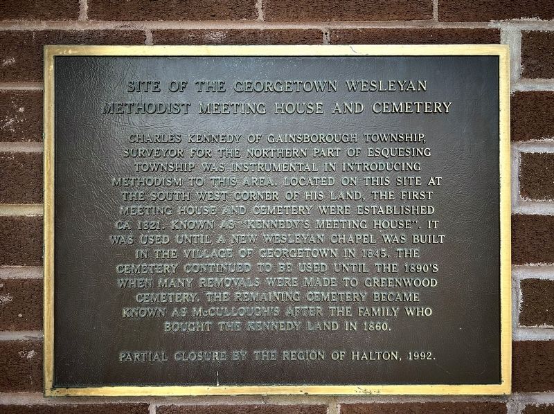
Photographed by Tim Boyd, August 5, 2025
1. Site of the Georgetown Wesleyan Methodist Meeting House and Cemetery Marker
Topics. This historical marker is listed in these topic lists: Cemeteries & Burial Sites • Religion & Religious Structures. A significant historical year for this entry is 1821.
Location. 43° 38.909′ N, 79° 56.877′ W. Marker is in Halton Hills, Ontario, in Halton Region. It is in Georgetown. It is at the intersection of Trafalgar Road and Lindsay Court, on the right when traveling north on Trafalgar Road. Touch for map. Marker is at or near this postal address: 7
this page online

Regionally, this marker is in Greater Toronto, specifically on the Golden Horseshoe, in the Hamilton-Halton-Brant Area, and specifically in the Toronto Metropolitan Area. It is also in Central Canada. Globally, it is in North America, on the Great Lakes, in the Western Hemisphere, in the Western World, and in the Anglosphere. Historically, it finds itself in what was once a British colony, the Viceroyalty of New France, the Haudenosaunee (Iroquois) Confederacy, and Rupert’s Land.
Other nearby markers. At least 8 other markers are within 3 kilometers of this marker, measured as the crow flies: Devereaux House (approx. 1.5 kilometers away); Founding of Georgetown / Fondation de Georgetown (approx. 1.8 kilometers away); Congregational Church (approx. 1.8 kilometers away); Reid’s Hardware (approx. 1.8 kilometers away); The Hotel McGibbon (approx. 1.8 kilometers away); Georgetown Lawn Bowling Club (approx. 1.9 kilometers away); The Armenian Boys’ Farm Home, Georgetown / Refuge Agricole des Garçons Arméniens, Georgetown (approx. 2.4 kilometers away);
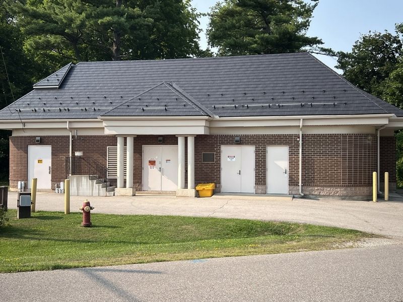
Photographed by Tim Boyd, August 5, 2025
2. Site of the Georgetown Wesleyan Methodist Meeting House and Cemetery Marker
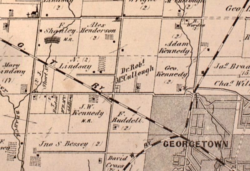
3. McCullough’s Cemetery in 1877 (centre of photo
Source: McGill University Canadian County Atlas Project
Credits. This page was last revised on August 13, 2025. It was originally submitted on August 9, 2025, by Tim Boyd of Hamilton, Ontario. This page has been viewed 81 times since then and 14 times this year. Photos: 1, 2, 3. submitted on August 9, 2025, by Tim Boyd of Hamilton, Ontario. • Andrew Ruppenstein was the editor who published this page.
