Pensacola Beach in Santa Rosa County, Florida — The American South (South Atlantic)
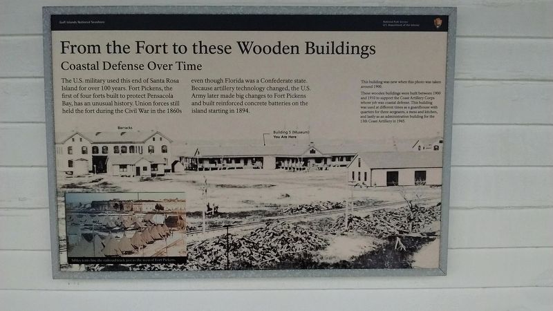
From the Fort to these Wooden Buildings
Coastal Defense Over Time
| — | Gulf Islands National Seashore | — |
Photographed by Tom Bosse, July 29, 2018
1. From the Fort to these Wooden Buildings Marker
(captions)
This building was new when this photo was taken around 1900.
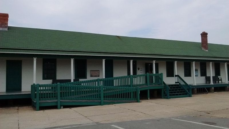
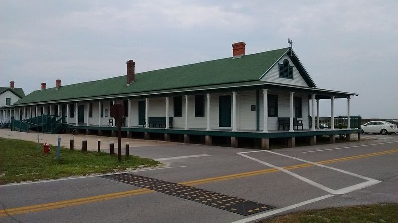
These wooden buildings were built between 1900 and 1910 to support the Coast Artillery Corps whose job was coastal defense. This building was used at different times as a guardhouse with quarters for three sergeants, a mess and kitchen, and lastly as an administration building for the 13th Coast Artillery in 1945.
Sibley tents line the railroad track just to the west of Fort Pickens.
Erected by National Park Service, U.S. Department of the Interior.
Topics. This historical marker is listed in these topic lists: Forts and Castles • War, US Civil. A significant historical year for this entry is 1894.
Location. 30° 19.77′ N,
this page online

Regionally, this marker is in Greater Pensacola and on the Florida Panhandle. It is also in the American South, specifically in the Deep South, and on the Gulf Coast. Globally, it is in the North Atlantic Region, North America, a Gulf of Mexico state, the Western Hemisphere, the Western World, and the Anglosphere. Historically, it finds itself in what was once New Spain, the territory of the Mississippian Culture, one of the Confederate States of America, and the Antebellum South.
Other nearby markers. At least 8 other markers are within walking distance of this marker: Hurricane Ivan (within shouting distance of this marker); Colonial Power Struggle (within shouting distance of this
Photographed by Tom Bosse, July 29, 2018
2. From the Fort to these Wooden Buildings Marker
Photographed by Tom Bosse, July 29, 2018
3. From the Fort to these Wooden Buildings Marker
Photographed by Tom Bosse, July 29, 2018
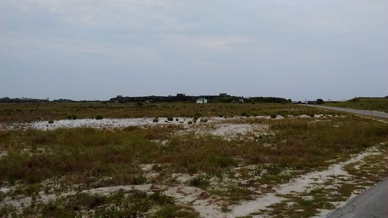
4. Fort Pickens
Credits. This page was last revised on August 11, 2025. It was originally submitted on August 10, 2025, by Tom Bosse of Jefferson City, Tennessee. This page has been viewed 104 times since then and 18 times this year. Photos: 1, 2, 3, 4. submitted on August 10, 2025, by Tom Bosse of Jefferson City, Tennessee. • Bernard Fisher was the editor who published this page.
