Thomaston in Naugatuck Valley Region, Connecticut — The American Northeast (New England)
Thomaston
Photographed by Michael Herrick, February 22, 2010
1. Thomaston Marker
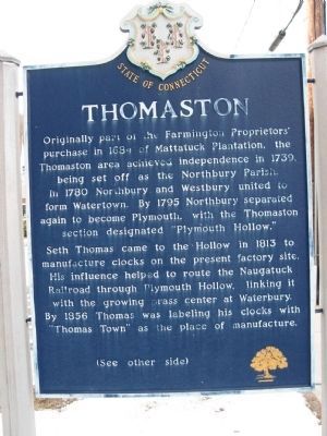
Originally part of the Farmington Proprietors' purchase in 1684 of Mattatuck Plantation, the Thomaston area achieved independence in 1739, being set off as the Northbury Parish. In 1780 Northbury and Westbury united to form Watertown. By 1795 Northbury separated again to become Plymouth, with the Thomaston section designated "Plymouth Hollow."
Seth Thomas came to the Hollow in 1813 to manufacture clocks on the present factory site. His influence helped to route the Naugatuck Railroad through Plymouth Hollow, linking it with the growing brass center at Waterbury. By 1856 Thomas was labeling his clocks with "Thomas Town" as the place of manufacture.
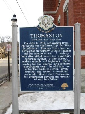
On July 6, 1875, separation from Plymouth was confirmed by the State Legislature. Thomas Town became Thomaston in memory of Seth Thomas and his famous clocks. A century later diversified industries, a sanitary sewerage system, a new library, modern schools and highways, special housing for the elderly, and sectional playgrounds exist. In addition an attractive business center, seven churches and several recreational parks all indicate that Thomaston has progressed beyond
this page online
Erected 1973 by Town of Thomaston, Thomaston Historical Society, Inc, Connecticut Historical Commission.
Topics. This historical marker is listed in these topic lists: Colonial Era • Political Subdivisions • Settlements & Settlers. A significant historical date for this entry is July 6, 1875.
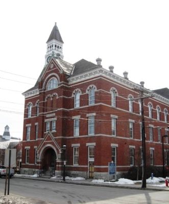
Location. 41° 40.392′ N, 73° 4.51′ W. Marker is in Thomaston in Naugatuck Valley Region, Connecticut. It is at the intersection of Clay Street and Main Street, on the right when traveling south on Clay Street. Located next to Thomaston Town Hall. Touch for map. Marker is at or near this postal address: 158 Main Street, Thomaston CT 06787, United States of America. Touch for directions.

Regionally, this marker is in the Berkshire Foothills and in the Litchfield Hills. It is also in the American Northeast and in New England. Globally, it is in North America, the Western Hemisphere, the Western World, and the Anglosphere. Historically, it finds itself in what was once Litchfield County and also one of the original Thirteen Colonies.
Other nearby markers. At least 8 other markers are within walking
Photographed by Michael Herrick, February 22, 2010
2. Thomaston Marker
Photographed by Michael Herrick, February 22, 2010
3. Thomaston Marker next to Town Hall
Credits. This page was last revised on June 28, 2026. It was originally submitted on March 3, 2010, by Michael Herrick of Southbury, Connecticut. This page has been viewed 1,339 times since then and 61 times this year. Photos: 1, 2, 3. submitted on March 3, 2010, by Michael Herrick of Southbury, Connecticut.
