Waverly in Pike County, Ohio — The American Midwest (Great Lakes)
Answer To Question #8
| — | Ohio-Erie Canal Historic Trail | — |

Photographed by Craig Doda, August 2, 2025
1. Answer To Question #8 Marker
How A Lock Works
Instead of following the slope of the land, a canal periodically takes a vertical step between levels of flat water. This is accomplished at a series of locks, which on the C&O averaged a drop of 8 feet. The locks' hand-operated mitre gates were simple, virtually unchanged from Leonardo da Vinci's original 1485 design (right). The operation, though, demanded experience and close attention. As a boatman approached a lock, he would sound his horn a half to a quarter mile away, alerting the lockkeeper. Entering the lock was the most demanding part of canalling. The boat fit the lock with only 3 inches to spare on both sides, and if the helmsman allowed a loaded boat to hit the lock walls, he could damage or even sink the boat. Such a blow could also damage the masonry. Once in the lock, the 93-foot boat-only 7 feet shorter than the lock-had to have enough momentum to go all the way in, but had to be stopped before it crashed into the gate at the other end. A crew member jumped ashore and turned a heavy rope around the snubbing post to brake the boat. This was an art in itself: too tight and the momentum
this page online
Locking Through
Upper sluice valves are opened and water in lock is raised to level of upstream canal. Upper gates are opened and boat enters lock 1. Upper gates and their sluice valves are closed. Sluice valves in lower gates are opened, allowing water to empty from lock 2. The boat is lowered slowly as the water in the lock drops to level of downstream canal. Lower gate is opened and boat proceeds on lower level of canal 3.
Topics. This historical marker is listed in these topic lists: Architecture • Waterways & Vessels. A significant historical year for this entry is 1485.
Location. 39° 8.065′ N, 82° 58.259′ W. Marker is in Waverly, Ohio, in Pike County. It is at the intersection of Bristol Boulevard and East 2nd Street (Ohio Route 335), on the right when traveling south on Bristol Boulevard. Touch for map. Marker is at or near this postal address: 625 E 5th St, Waverly OH 45690, United States of America. Touch for directions.

Regionally, this marker is in the Scioto Valley

Photographed by Craig Doda, August 2, 2025
2. Answer To Question #8 Marker
Other nearby markers. At least 8 other markers are within walking distance of this marker: Answer To Question #10 (here, next to this marker); Answer To Question #9 (here, next to this marker); Welcome To The Canal Pavilion! (here, next to this marker); Canal Boats (here, next to this marker); Answer To Question #12 (here, next to this marker); Canal Boat Life (here, next to this marker); Answer To Question #11 (a few steps from this marker); Ohio and Erie Canal (about 500 feet away, measured in a direct line). Touch for a list and map of all markers in Waverly.
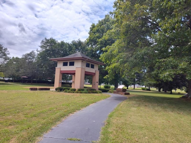
Photographed by Craig Doda, August 2, 2025
3. Answer To Question #8 Marker
Credits. This page was last revised on August 28, 2025. It was originally submitted on August 12, 2025, by Craig Doda of Napoleon, Ohio. This page has been viewed 73 times since then and 17 times this year. Photos: 1, 2, 3. submitted on August 12, 2025, by Craig Doda of Napoleon, Ohio. • Devry Becker Jones was the editor who published this page.
