Near Gunter in Grayson County, Texas — The American South (West South Central)
Elliott Cemetery
Photographed by James Hulse, August 15, 2025
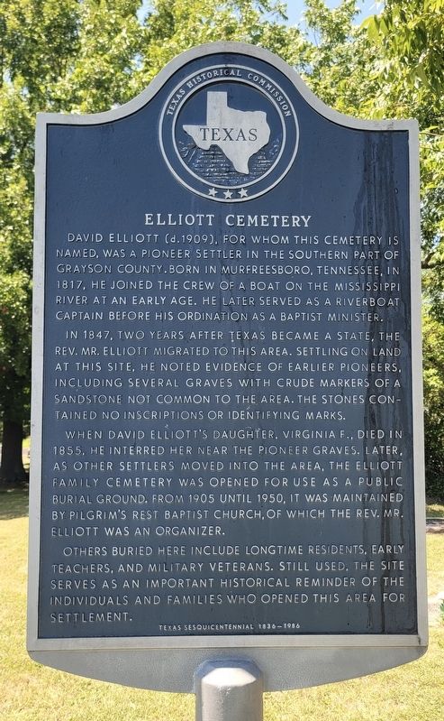
1. Elliott Cemetery Marker
In 1847, two years after Texas became a state, the Rev. Mr. Elliott migrated to this area. Settling on land at this site, he noted evidence of earlier pioneers, including several graves with crude markers of a sandstone not common to the area. The stones contained no inscriptions or identifying marks.
When David Elliott's daughter, Virginia F., died in 1855, he interred her near the pioneer graves. Later, as other settlers moved into the area, the Elliott family cemetery was opened for use as a public burial ground. From 1905 until 1950, it was maintained by Pilgrim's Rest Baptist Church, of which the Rev. Mr. Elliott was an organizer.
Others buried here include longtime residents, early teachers, and military veterans. Still used, the site serves as an important historical reminder of the individuals and families who opened this area for settlement.
Erected 1986 by Texas Historical Commission. (Marker Number 7360.)
Topics. This historical marker is listed in this topic list: Cemeteries & Burial Sites. A significant historical year for this entry is 1817.
Location. 33° 25.67′ N, 96° 41.177′ W. Marker is near Gunter, Texas, in Grayson County. It is on Elliott Cemetery Road half a mile east of Farm to Market Road 121. The marker is located at the entrance to the cemetery. Touch for map. Marker is in this post office area: Gunter TX 75058, United States of America. Touch for directions.

Regionally, this marker is in the Prairies & Lakes Region. It
this page online
Other nearby markers. At least 8 other markers are within 7 miles of this marker, measured as the crow flies: Whitaker Cemetery (approx. 2.7 miles away); Hall Cemetery (approx. 5 miles away); William Whitley Wheat (approx. 5.1 miles away); Jabez and Harriet Haning (approx. 5.1 miles away); Town of Gunter, on Old Gunter Ranch (approx. 5.1 miles away); First Christian Church of Weston (approx. 5.4 miles away); Alla School (approx. 6.1 miles away); Site of Campus of Old Columbia College (approx. 6.1 miles away). Touch for a list and map of all markers in Gunter.

Photographed by James Hulse, August 15, 2025
2. Elliott Cemetery Marker

Photographed by James Hulse, August 15, 2025
3. The view of the cemetery and marker from the cemetery road
Credits. This page was last revised on August 15, 2025. It was originally submitted on August 15, 2025, by James Hulse of Medina, Texas. This page has been viewed 119 times since then and 32 times this year. Photos: 1, 2, 3. submitted on August 15, 2025, by James Hulse of Medina, Texas.
