
Crystal Beach in Fort Erie in Niagara Region, Ontario — Central Canada (North America)
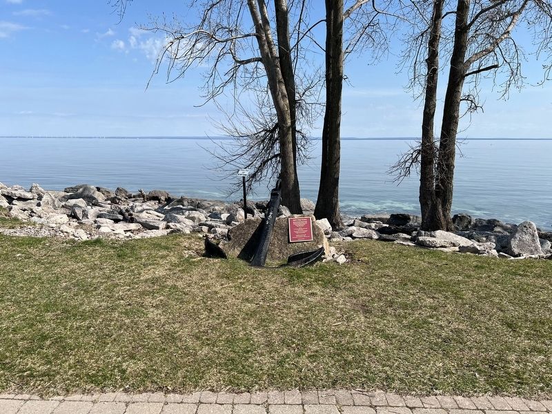
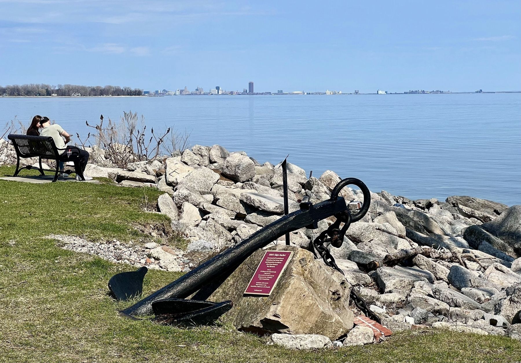
1800’s Ships Anchor

Photographed by Tim Boyd, April 23, 2025
1. 1800’s Ship Anchor Marker
Recovered off Crystal Beach Waterfront Park about 1960 and donated by local divers
Ken & Ray Barnhart
Roy Thornton
Donors: CAA Niagara, The Reinhardt Family, Cathy Herbert
The Crystal Beach Candy Company
Montgomery Bros. / Northland
Eddy Feiertag Welding
An initiative of the Fort Erie Marine Heritage Group: John Robbins, Paull Kassay Jr., Rick Done U.E.
Erected 2012.
Topics. This historical marker is listed in this topic list: Waterways & Vessels. A significant historical year for this entry is 1960.
Location. 42° 51.567′ N, 79° 3.447′ W. Marker is in Fort Erie, Ontario, in Niagara Region. It is in Crystal Beach. It is on Terrace Lane, on the right when traveling east. The marker is in Crystal Beach Waterfront Park, by the water’s edge approx. 50 metres east from the boat launch parking lot. Touch for map. Marker is at or near this postal address: 3855 Terrace Ln, Fort Erie ON L0S 1B0, Canada. Touch for directions.

Regionally, this marker is on Ontario’s Golden Horseshoe and in Niagara Canada. It is also in Central Canada. Globally, it is in North America, on the Great
this page online
Other nearby markers. At least 8 other markers are within 3 kilometers of this marker, measured as the crow flies: Waves of Change (within shouting distance of this marker); Capture of the "Somers" and "Ohio" (within shouting distance of this marker); SS Canadiana (within shouting distance of this marker); In Memory of Light Vessel 82 and its Crew (within shouting distance of this marker); Crystal Beach Waterfront Park Development Association (about 120 meters away, measured in a direct line); Crystal Beach Amusement Park (approx. half a kilometer away); Bobby Burd Memorial (approx. 0.8 kilometers away); Ridgeway - Crystal Beach Cenotaph (approx. 1.9 kilometers away). Touch for a list and map of all markers in Fort Erie.
Photographed by Tim Boyd, April 23, 2025
2. 1800’s Ship Anchor Marker
Photographed by Tim Boyd, April 23, 2025
3. 1800’s Ship Anchor Marker

Photographed by Kevin Westell, August 14, 2025
4. 1800’s Ship Anchor
Vehicle for scale.
Credits. This page was last revised on August 20, 2025. It was originally submitted on May 2, 2025, by Tim Boyd of Hamilton, Ontario. This page has been viewed 169 times since then and 25 times this year. Last updated on August 16, 2025, by Kevin Westell of St. Catharines, Ontario. Photos: 1, 2, 3. submitted on May 2, 2025, by Tim Boyd of Hamilton, Ontario. 4. submitted on August 16, 2025, by Kevin Westell of St. Catharines, Ontario. • Devry Becker Jones was the editor who published this page.
