Ridgeway in Fort Erie in Niagara Region, Ontario — Central Canada (North America)
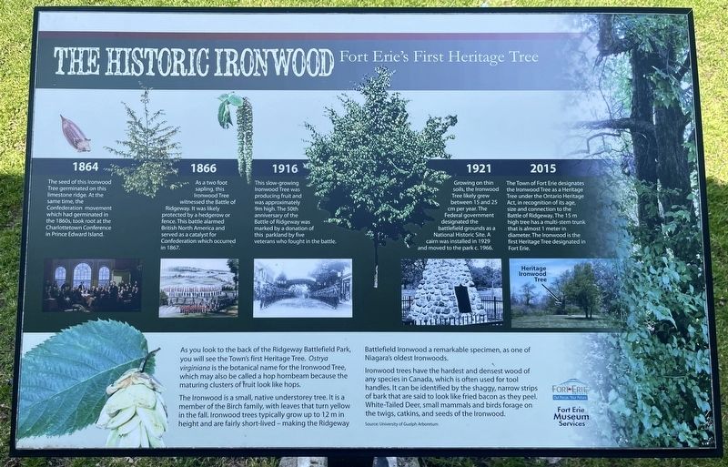
The Historic Ironwood
Fort Erie’s First Heritage Tree
Photographed by Tim Boyd, April 23, 2025
1. The Historic Ironwood Marker
As you look to the back of the Ridgeway Battlefield Park, you will see the Town's first Heritage Tree. Ostrya virginiana is the botanical name for the Ironwood Tree, which may also be called a hop hornbeam because the maturing clusters of fruit look like hops.
The Ironwood is a small, native understorey tree. It is a member of the Birch family, with leaves that turn yellow in the fall. Ironwood trees typically grow up to 12 m in height and are fairly short-lived - making the Ridgeway Battlefield Ironwood a remarkable specimen, as one of Niagara's oldest Ironwoods.
Ironwood trees have the hardest and densest wood of any species in Canada, which is often used for tool handles. It can be identified by the shaggy, narrow strips of bark that are said to look like fried bacon as they peel. White-Tailed Deer, small mammals and birds forage on the twigs, catkins, and seeds of the Ironwood.
Erected by Fort Erie Museum Services.
Topics and series. This historical marker is listed in these topic lists: Horticulture & Forestry • Wars, Non-US. In addition, it is included in the Historic Trees series list. A significant historical year for this entry is 1864.
Location. 42° 54.291′ N,
this page online

Regionally, this marker is on the Golden Horseshoe and in Niagara Canada. It is also in Central Canada. Globally, it is in North America, on the Great Lakes, in the Western Hemisphere, in the Western World, and in the Anglosphere. Historically, it finds itself in what was once a British colony, the Viceroyalty of New France, the Haudenosaunee (Iroquois) Confederacy, and Rupert’s Land.
Other nearby markers. At least 8 other markers are within walking distance of this marker: Map of the Battle of Ridgeway Site June 2, 1866 (a few steps from this marker); Map and Timeline of Events - Fenian Invasion, 1866 (a few steps from this
Photographed by Tim Boyd, April 23, 2025
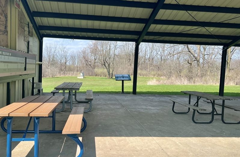
2. The Historic Ironwood Marker
Photographed by Tim Boyd, April 23, 2025
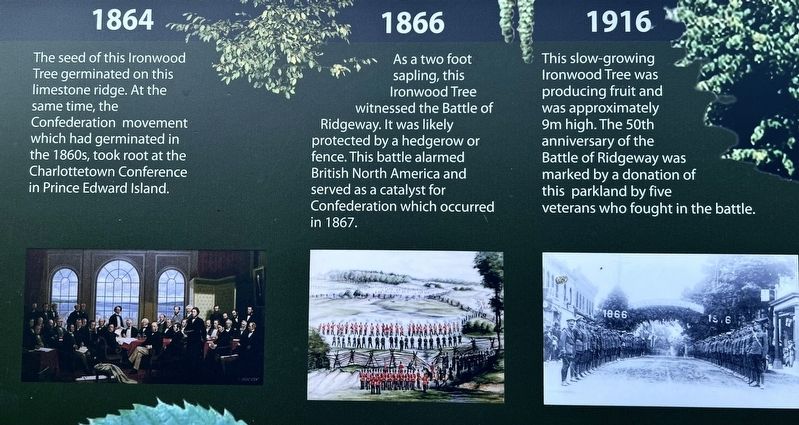
3. The Historic Ironwood marker timeline photos and descriptions (left)
Photographed by Tim Boyd, April 23, 2025
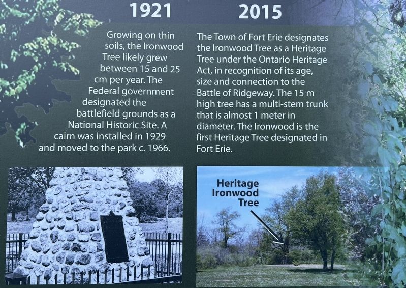
4. The Historic Ironwood marker timeline photos and descriptions (right)
Photographed by Tim Boyd, April 23, 2025
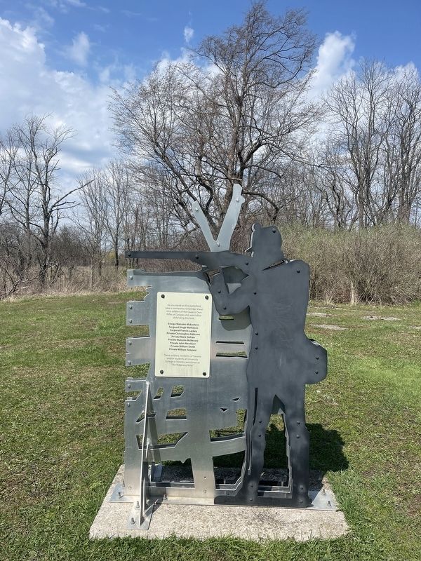
5. Memorial to soldiers Of the Queen’s Own Rifles, the historic ironwood tree is directly behind.
Credits. This page was last revised on August 18, 2025. It was originally submitted on April 28, 2025, by Tim Boyd of Hamilton, Ontario. This page has been viewed 132 times since then and 15 times this year. Last updated on August 16, 2025, by Kevin Westell of St. Catharines, Ontario. Photos: 1, 2, 3, 4, 5. submitted on April 28, 2025, by Tim Boyd of Hamilton, Ontario. • Devry Becker Jones was the editor who published this page.
