
Ridgeway in Fort Erie in Niagara Region, Ontario — Central Canada (North America)
The Ridgeway Nine
Photographed by Kevin Westell, August 14, 2025
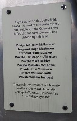
1. The Ridgeway Nine - Marker
Ensign Malcolm McEachren
Sergeant Hugh Matheson
Corporal Francis Lackey
Private Christopher Alderson
Private Mark Defries
Private Malcolm McKenzie
Private John Mewburn
Private William Smith
Private William Tempest
These soldiers, residents of Toronto and/or students at University College in Toronto, are known as "The Ridgeway Nine."
Topics. This memorial is listed in these topic lists: Patriots & Patriotism • Wars, Non-US. A significant historical date for this entry is June 2, 1866.
Location. 42° 54.314′ N, 79° 2.48′ W. Memorial is in Fort Erie, Ontario, in Niagara Region. It is in Ridgeway. It can be reached from Garrison Road, on the right when traveling west. The marker is within the Battle of Ridgeway Memorial Park, 150 metres north of Garrison Rd, and 50 metres north of the interpretive pavilion. Touch for map. Memorial is at or near this postal address: 3388 Garrison Road, Fort Erie ON L0S 1N0, Canada. Touch for directions.

Regionally, this memorial is on Ontario’s Golden Horseshoe and in Niagara Canada. It is also in Central Canada. Globally, it is in North America, on the Great Lakes, in the Western Hemisphere, in the Western World, and in the Anglosphere. Historically, it finds itself in what was once a British colony, the Viceroyalty of New France, the Haudenosaunee (Iroquois) Confederacy, and Rupert’s Land.
Other nearby markers. At least 8 other markers are within walking distance of this marker: The Historic Ironwood (within shouting distance of this marker); Map of the Battle of Ridgeway Site June 2, 1866 (within shouting distance of this marker); Map and Timeline of Events - Fenian Invasion, 1866
this page online
Photographed by Kevin Westell, August 14, 2025
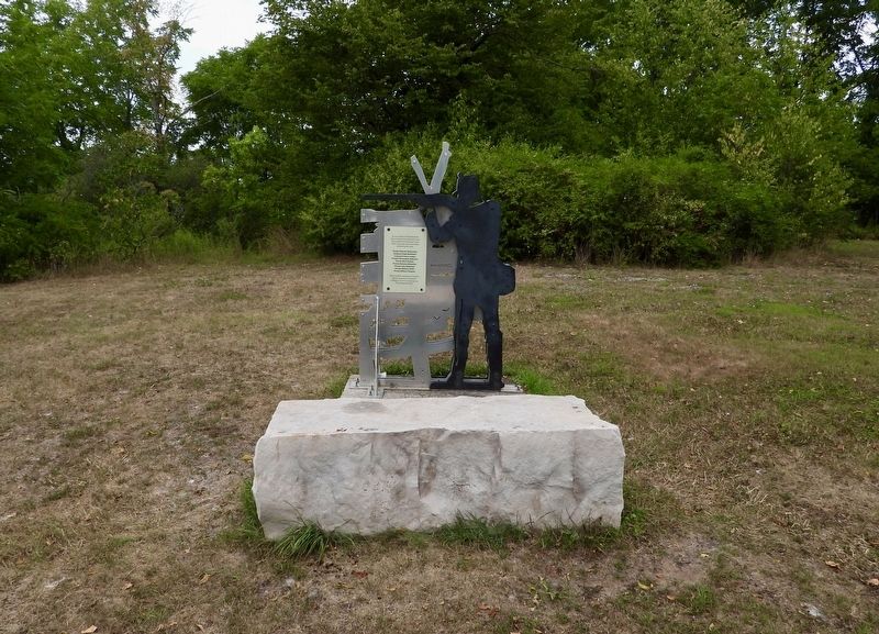
2. The Ridgeway Nine - Marker in context
The marker and structure are at the north end of the grass-lawn part of the property, behind a stone block.
Photographed by Tim Boyd, April 23, 2025
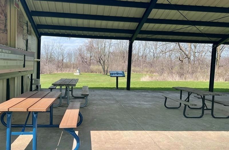
3. The Ridgeway Nine - Marker in context
Photo faces north through the interpretive pavilion. The marker (left) is visible in the background, at the edge of the lawn.
Photographed by Kevin Westell, August 14, 2025
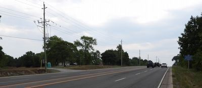
4. The Battle of Ridgeway Memorial Park
... as viewed while driving east on Garrison Rd.
Credits. This page was last revised on August 16, 2025. It was originally submitted on August 16, 2025, by Kevin Westell of St. Catharines, Ontario. This page has been viewed 83 times since then and 14 times this year. Photos: 1, 2, 3, 4. submitted on August 16, 2025, by Kevin Westell of St. Catharines, Ontario. • Andrew Ruppenstein was the editor who published this page.
