Masaryktown in Hernando County, Florida — The American South (South Atlantic)
Masaryktown
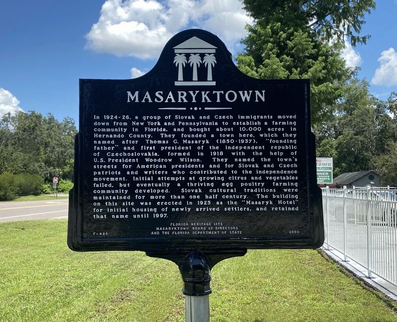
Photographed by Diane Murphy, August 16, 2025
1. Masaryktown Marker
In 1924-26, a group of Slovak and Czech immigrants moved down from New York and Pennsylvania to establish a farming community in Florida, and bought about 10,000 acres in Hernando County. They founded a town here, which they named after Thomas G. Masaryk (1850-1937), "founding father" and first president of the independent republic of Czechoslovakia, formed in 1918 with the help of U.S. President Woodrow Wilson. They named the town's streets for American presidents and for Slovak and Czech patriots and writers who contributed to the independence movement. Initial attempts at growing citrus and vegetables failed, but eventually a thriving egg poultry farming community developed. Slovak cultural traditions were maintained for more than one half century. The building on this site was erected in 1925 as the "Masaryk Hotel" for initial housing of newly arrived settlers, and retained that name until 1997.
Erected 2000 by Masaryktown Board of Directors and the Florida Department of State. (Marker Number F-426.)
Topics. This historical marker is listed in these topic lists: Immigration • Settlements & Settlers.
Location. 28° 26.496′ N,
this page online

Regionally, this marker is on the Gulf Coast and on Tampa Bay. It is also in the American South and on the Gulf Coast. Globally, it is in the North Atlantic Region, North America, a Gulf of Mexico state, the Western Hemisphere, the Western World, and the Anglosphere. Historically, it finds itself in what was once New Spain, the territory of the Mississippian Culture, one of the Confederate States of America, and the Antebellum South.
Other nearby markers. At least 8 other markers are within 9 miles of this marker, measured as the crow flies: Brooksville Army Airfield Gunnery Backstop (approx. 2.8 miles away); Garden Grove (approx. 3.1 miles away); Loyce Cemetery (approx. 4 miles away); St. Anthony the Abbot Church (approx. 7.7 miles away); The Bradley Massacre (approx.
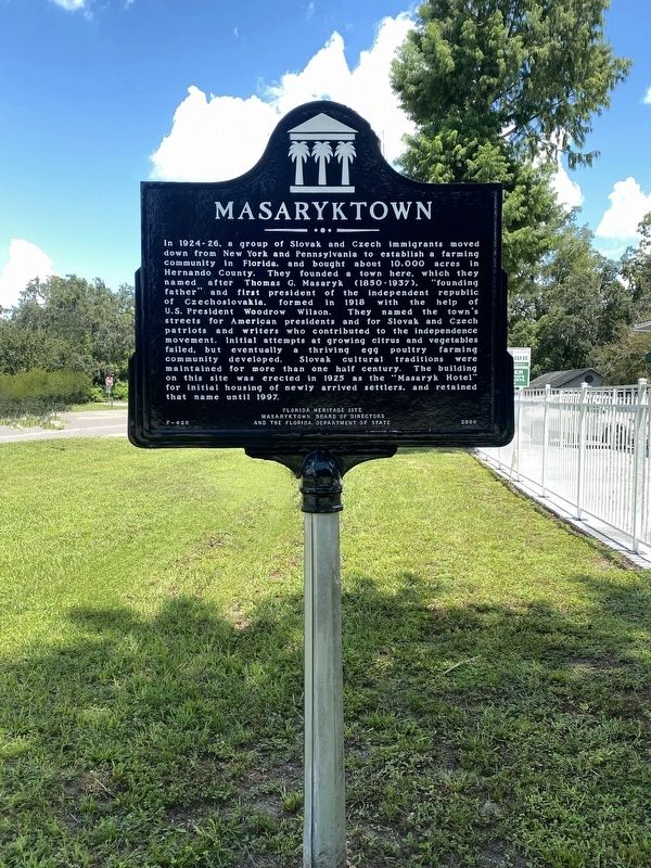
Photographed by Diane Murphy, August 2025
2. Masaryktown Marker

Photographed by Diane Murphy, August 2025
3. Masaryktown Marker

Photographed by Diane Murphy, August 2025
4. Masaryktown Marker
Credits. This page was last revised on August 17, 2025. It was originally submitted on August 16, 2025, by Diane Murphy of Saint Cloud, Florida. This page has been viewed 233 times since then and 114 times this year. Photos: 1, 2, 3, 4. submitted on August 16, 2025, by Diane Murphy of Saint Cloud, Florida. • Bernard Fisher was the editor who published this page.
