Cazenovia in Madison County, New York — The American Northeast (Mid-Atlantic)
Horse Trough
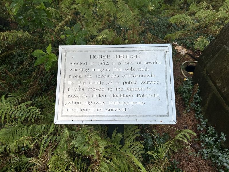
Photographed by Steve Stoessel, August 16, 2025
1. Horse Trough Marker
Topics. This historical marker is listed in this topic list: Roads & Vehicles. A significant historical year for this entry is 1852.
Location. 42° 55.4′ N, 75° 51.831′ W. Marker is in Cazenovia, New York, in Madison County. It can be reached from Rippleton Road. Marker is at the rear of the garden behind the mansion. Touch for map. Marker is at or near this postal address: 19 Rippleton Rd, Cazenovia NY 13035, United States of America. Touch for directions.

Regionally, this marker is in Upstate New York, specifically in Central New York, and in the Syracuse Metropolitan Area. It is also in the American Northeast and in the Mid-Atlantic. Globally, it is in North America, the Western Hemisphere, the Western World, and the Anglosphere. Historically, it finds itself in what was once the Haudenosaunee (Iroquois) Confederacy, New Netherland, and one of the original
this page online
Other nearby markers. At least 8 other markers are within walking distance of this marker: Dark Aisle (here, next to this marker); a different marker also named The Dark Aisle (a few steps from this marker); Sun Dial (within shouting distance of this marker); Douglas Firs / Pines Planted (within shouting distance of this marker); Lorenzo (within shouting distance of this marker); Planting Marker (within shouting distance of this marker); Black Locust Tree (about 300 feet away, measured in a direct line); Corner Stone (about 400 feet away). Touch for a list and map of all markers in Cazenovia.
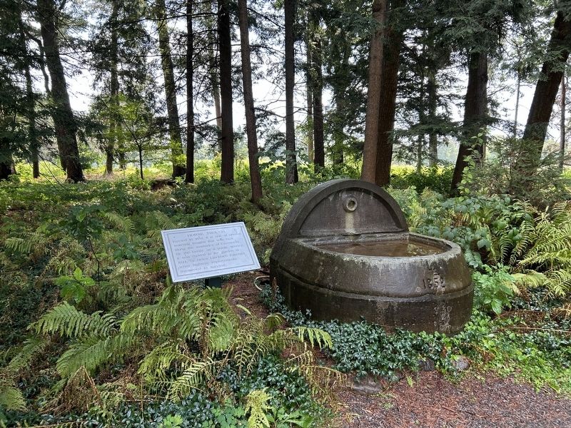
Photographed by Steve Stoessel, August 16, 2025
2. Horse Trough Marker
Credits. This page was last revised on August 17, 2025. It was originally submitted on August 17, 2025, by Steve Stoessel of Niskayuna, New York. This page has been viewed 115 times since then and 25 times this year. Photos: 1, 2. submitted on August 17, 2025, by Steve Stoessel of Niskayuna, New York.
