Mille Lacs Kathio State Park near Onamia in Mille Lacs County, Minnesota — The American Midwest (Upper Plains)
Reading the Cultural Landscape
| — | Kathio Landmark Trail | — |
Photographed by McGhiever, May 29, 2025
1. Reading the Cultural Landscape Marker
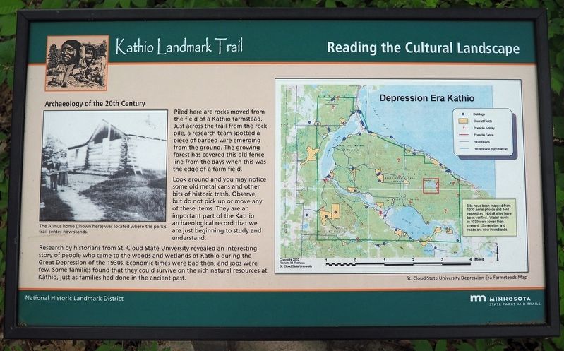
Archaeology of the 20th Century
Piled here are rocks moved from the fields of a Kathio farmstead. Just across the trail from the rock pile, a research team spotted a piece of barbed wire emerging from the ground. The growing forest has covered this old fence line from the days when this was the edge of a farm field.
Look around and you may notice some old metal cans and other bits of historic trash. Observe, but do not pick up or move any of these items. They are an important part of the Kathio archaeological record that we are just beginning to study and understand.
Research by historians from St. Cloud State University revealed an interesting story of people who came to the woods and wetlands of Kathio during the Great Depression of the 1930s. Economic times were bad then, and jobs were few. Some families found that they could survive on the rich natural resources at Kathio, just as families had done in the ancient past.
The Asmus home (shown here) was located where the park trail center now stands.
Site have been mapped from 1939 aerial photos and field inspection. Not all sites have been verified. Waterlevels in 1939 were lower than present. Some sites and roads are now in wetlands.
Click or scan to see
this page online
St. Cloud State University Depression Era Farmsteads Map
Erected by Minnesota Department of Natural Resources.
Topics. This historical marker is listed in these topic lists: Anthropology & Archaeology • Settlements & Settlers. A significant historical year for this entry is 1930.
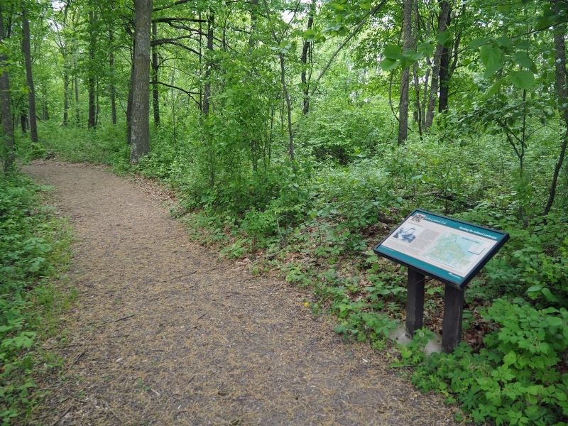
Location. 46° 8.968′ N, 93° 46.088′ W. Marker is near Onamia, Minnesota, in Mille Lacs County. It is in Mille Lacs Kathio State Park. It can be reached from no nearby street. The marker is on the east loop of the Kathio Landmark Trail. Touch for map. Marker is in this post office area: Onamia MN 56359, United States of America. Touch for directions.

Regionally, this marker is in Central Minnesota. It is also in the American Midwest and in the Corn Belt. Globally, it is in North America, the Western Hemisphere, the Western World, and the Anglosphere. Historically, it finds itself in what was once Rupert’s Land, the territory of the Mississippian Culture, and the Northwest Territory.
Other nearby markers. At least 8 other markers are within walking distance
Photographed by McGhiever, May 29, 2025
2. Reading the Cultural Landscape Marker on the Kathio Landmark Trail
Credits. This page was last revised on August 17, 2025. It was originally submitted on August 17, 2025, by McGhiever of Minneapolis, Minnesota. This page has been viewed 117 times since then and 23 times this year. Photos: 1, 2. submitted on August 17, 2025, by McGhiever of Minneapolis, Minnesota.
