Washington Township near Firebrick in Lawrence County, Ohio — The American Midwest (Great Lakes)
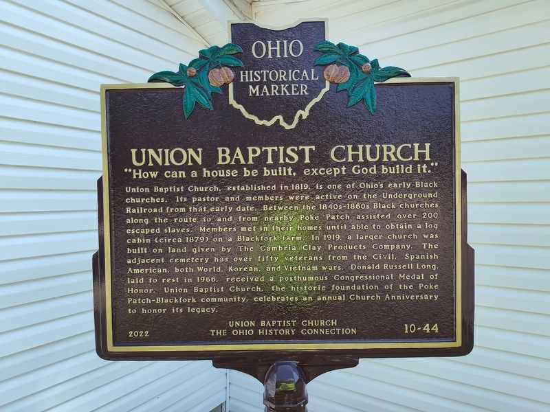
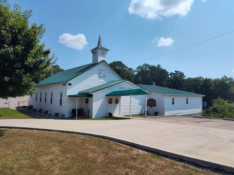
Union Baptist Church
"How can a house be built, except God build it."
Photographed by Craig Doda, August 16, 2025
1. Union Baptist Church Marker
Union Baptist Church, established in 1819, is one of Ohio's early Black churches. Its pastor and members were active on the Underground Railroad from that early date. Between the 1840s-1860s Black churches along the route to and from nearby Poke Patch assisted over 200 escaped slaves. Members met in their homes until able to obtain a log cabin (circa 1879) on a Blackfork farm. In 1919, a larger church was built on land given by The Cambria Clay Products Company. The adjacent cemetery has over fifty veterans from the Civil, Spanish American, both World, Korean, and Vietnam wars. Donald Russell Long, laid to rest in 1966, received a posthumous Congressional Medal of Honor. Union Baptist Church, the historic foundation of the Poke Patch-Blackfork community, celebrates an annual Church Anniversary to honor its legacy.
Erected 2022 by Union Baptist Church and the The Ohio History Connection. (Marker Number 10-44.)
Topics and series. This historical marker is listed in these topic lists: African Americans • Cemeteries & Burial Sites • Military • Religion & Religious Structures. In addition, it is included
this page online
Location. 38° 48.921′ N, 82° 34.974′ W. Marker is near Firebrick, Ohio, in Lawrence County. It is in Washington Township. It is at the intersection of Ninner Hill (County Route 39) and Dry Ridge Road on Ninner Hill. Touch for map. Marker is at or near this postal address: 866 Co Rd 39, Oak Hill OH 45656, United States of America. Touch for directions.

Regionally, this marker is in the Kyova Tri-State Region. It is also in the American Midwest, in the Ohio River Valley, in Appalachia, and specifically in Northern Appalachia. Globally, it is in North America, the Western Hemisphere, the Western World, and the Anglosphere. Historically, it finds itself in what was once the Haudenosaunee (Iroquois) Confederacy, the territory of the Mississippian Culture, and the Northwest Territory.
Other nearby markers. At least 8 other markers are within 6 miles of this marker, measured as the crow flies: Olive Furnace (approx. 4½ miles away); Historic Mt. Olive Charcoal Iron Furnace (approx. 4½ miles away); Welsh-American Heritage Museum / Old Welsh Congregational Church
Photographed by Craig Doda, August 16, 2025
2. Union Baptist Church and Marker
Credits. This page was last revised on March 31, 2026. It was originally submitted on August 17, 2025, by Craig Doda of Napoleon, Ohio. This page has been viewed 358 times since then and 181 times this year. Photos: 1, 2. submitted on August 17, 2025, by Craig Doda of Napoleon, Ohio. • Devry Becker Jones was the editor who published this page.
