Inner Harbor in Baltimore, Maryland — The American Northeast (Mid-Atlantic)
Historic Ships in Baltimore
"Walk the Decks of History!"
| — | Baltimore Maritime Museum | — |
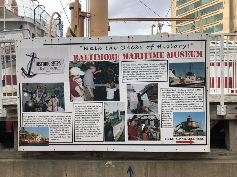
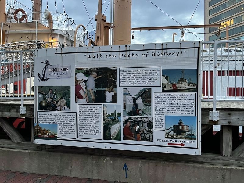
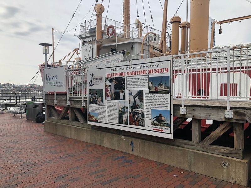
US Coast Guard Cutter, Taney, the only warship still afloat that saw action during the December 7, 1941 attack on Pearl Harbor, was commissioned in 1936. This 326-foot High Endurance Cutter is one of seven Secretary class ships built. Besides, WWII, Taney gave a half century of wide ranging continuous service until being decommissioned in 1986.
US Lightship # 116 "Chesapeake" marked the mouth of the Chesapeake Bay for over 29 years. Lightship #116 was initially assigned to Fenwick Island, Delaware in 1930. The Lightship was transferred to the approaches of the Chesapeake Bay where her bright red hull, masted lamp and loud foghorn guided mariners to safe harbor for 29 years. From 1965 - 1970, Lightship #116 finished its career marking the Delaware Bay approaches.
US Submarine Torsk sank the last enemy vessel of WWII. Torsk was launched in late 1944 and represented the state-of-the-art US Submarine technology in World War II. The submarine carried out two wartime patrols in the Pacific, and on August 14, 1945, sank two Japanese coastal defense frigates, the last enemy ships sank during the war. The Torsk also has
this page online
Seven Foot Knoll Lighthouse was built in 1856 and is one of the oldest screw pile lighthouse in Maryland. The lighthouse marked the entrance to Baltimore's harbor for 133 years before being moved to the Inner Harbor for restoration. The lighthouse was built at the mouth of the Patapsco River marking the shoal known as the Seven Foot Knoll. It was built on cast iron pilings with corkscrew like bases that were screwed into the soft mud on the bottom of the Bay eliminating the need for a masonry foundation.
Erected by Living Classrooms.
Topics and series. This historical marker is listed in these topic lists: Architecture • Communications • War, World II • Waterways & Vessels. In addition, it is included in the Lighthouses series list. A significant historical date for this entry is August 14, 1945.
Location. 39° 17.142′ N, 76° 36.521′ W. Marker is in Baltimore, Maryland. It is in the Inner Harbor. It is on Harbor Bridge Walk 0.1 miles south of East Pratt Street, on the right when traveling south. Touch for map. Marker is at or near
Photographed by Devry Becker Jones (CC0), December 10, 2022
2. Historic Ships in Baltimore Marker
The Baltimore Maritime History text has since been taped over.

Regionally, this marker is in Central Maryland. It is also in the American Mid-Atlantic, in the Chesapeake Bay Region, and on the Eastern Seaboard. Globally, it is in the North Atlantic Region, North America, the Western Hemisphere, the Western World, and the Anglosphere. Historically, it finds itself in what was once one of the original Thirteen Colonies and also the Antebellum South.
Other nearby markers. At least 8 other markers are within walking distance of this marker: Living with Wildlife (a few steps from this marker); Piedmont Plateau (within shouting distance of this marker); Atlantic Coastal Plain (within shouting distance of this marker); Lightship Chesapeake (within shouting distance of this marker); The Great Baltimore Oyster Partnership (within shouting distance of this marker); Living Classrooms (within shouting distance of this marker); "Yuai" (within shouting distance of this marker); a different marker also named Baltimore Riot Trail (about 300 feet away). Touch for a list and map of all markers
Another marker is no longer nearby. Baltimore Riot Trail (was about 300 feet away, measured in a direct line but has been replaced with another marker now near it).
Credits. This page was last revised on September 29, 2025. It was originally submitted on February 16, 2020, by Devry Becker Jones of Washington, District of Columbia. This page has been viewed 320 times since then and 31 times this year. Last updated on August 18, 2025, by Evan Dwyer of Richmond, Virginia. Photos: 1. submitted on February 16, 2020, by Devry Becker Jones of Washington, District of Columbia. 2. submitted on December 11, 2022, by Devry Becker Jones of Washington, District of Columbia. 3. submitted on February 16, 2020, by Devry Becker Jones of Washington, District of Columbia.
