Inner Harbor in Baltimore, Maryland — The American Northeast (Mid-Atlantic)
The Olmsted Legacy
Gwynns Falls Trail
Photographed by Don Morfe, April 14, 2017
1. The Olmsted Legacy Marker
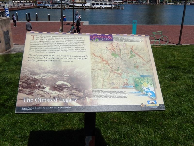
Think green and thank the Olmsteds as you walk along the Gwynns Falls Trail. If it weren’t for the Olmsted Brothers Landscape Architects firm, the City of Baltimore would not be blessed with most of its large multipurpose parks, neighborhood playgrounds, boulevards, parkways, and wooded stream valleys. Hired by the Municipal Arts Society in 1903 and 1926, the Olmsteds envisioned swaths of green tempering the area’s urbanization and providing places to enjoy the outdoors. Over the years the city adopted most of the plan. Today officials, civic organizations, and volunteers from all walks of life are working together to revitalize these natural preserves and complete the plan envisioned over 100 years ago.
This valley (Gwynns Falls) …has been freer from defacement by man’s activities. It is considered by all who view it as one of the best bits of scenery near Baltimore-
Olmsted Report 1926.
[Captions:]
The 1904 Olmsted Report showed Baltimore’s existing parks in green and the firms proposed parklands in orange. The firm later created plans for residential developments, labeled in purple, and participated in the siting and landscaping of significant institutions such as Johns Hopkins University Homewood Campus and the Baltimore Museum of Art.
The City and the Bay-Early ecologists, the Olmsteds recognized that water quality and quantity are directly linked to the protection of stream valleys and watersheds. Their insights laid the groundwork for Baltimore’s acquisition of lands to establish parks and reservoirs. These protected lands, in turn play a role in the health of the Chesapeake Bay by providing natural buffers that filter storm water pollutants before they reach the Bay.
Erected by Gwynns
this page online
Topics. This historical marker is listed in these topic lists: Charity & Public Work • Environment • Horticulture & Forestry. A significant historical year for this entry is 1903.
Location. Marker has been permanently removed. It was located near 39° 16.894′ N, 76° 36.673′ W. Marker was in Baltimore, Maryland. It was in the Inner Harbor. It was on Key Highway. The marker is near the front of the Maryland Science Center. Touch for map. Marker was in this post office area: Baltimore MD 21202, United States of America.
We have been informed that this marker is no longer there and will not be replaced. This page is an archival view of what was.
Regionally, this marker was in Central Maryland. It was also in the American Mid-Atlantic, in the Chesapeake Bay Region, and on the Eastern Seaboard. Globally, it was in the North Atlantic Region, North America, the Western Hemisphere, the Western World, and the Anglosphere. Historically, it found itself in what was once one of the original Thirteen Colonies and also the Antebellum South.

Other nearby markers. At
Photographed by Don Morfe, April 14, 2017
2. The Olmsted Legacy Marker
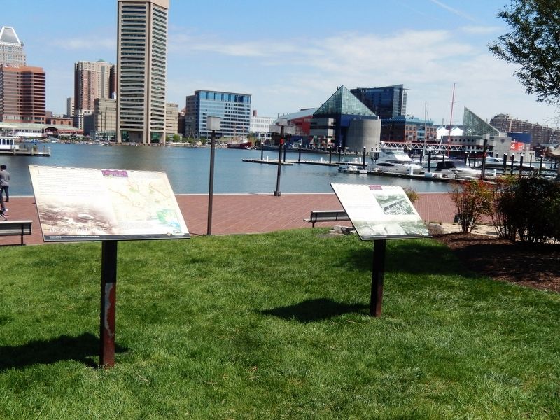
This marker is the one on the left of the two markers shown.
Other markers no longer nearby. Port of Baltimore (was here, next to this marker but has been permanently removed); Baltimore’s Part in Saving the Bay (was within shouting distance of this marker but has been permanently removed).
Photographed by Don Morfe, April 14, 2017
3. The Olmsted Legacy Marker
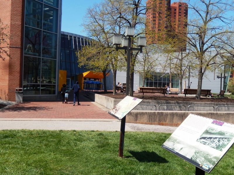
The Maryland Science Center is in the background
Credits. This page was last revised on September 29, 2025. It was originally submitted on April 23, 2017, by Don Morfe of Baltimore, Maryland. This page has been viewed 413 times since then and 22 times this year. Last updated on August 18, 2025, by Evan Dwyer of Richmond, Virginia. Photos: 1, 2, 3. submitted on April 23, 2017, by Don Morfe of Baltimore, Maryland. • Devry Becker Jones was the editor who published this page.
