
Hopwood in Fayette County, Pennsylvania — The American Northeast (Mid-Atlantic)
From Jumonville to a World War
Fort Necessity National Battlefield
Photographed by Craig Swain, October 6, 2022
1. From Jumonville to a World War Marker
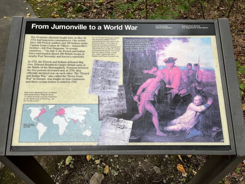
The 15-minute skirmish fought here on May 28, 1754, had long-term consequences. One month later, 600 French soldiers and 100 Indians under Captain Louis Coulon de Villiers -- Jumonville's brother -- left Fort Duquesne "to avenge ourselves..." On July 3, the French and Indian force surrounded almost 400 British troops at nearby Fort Necessity and forced a surrender.
In 1755, the French and Indians defeated Maj. Gen. Edward Braddock's larger British army at the Battle of Monongahela. Tensions between the two powers increased and, in 1756, they officially declared war on each other. The "French and Indian War," also called the "Seven Years War" in Europe, was fought on four continents and three oceans before it ended in 1763.
[Captions:]
Map below illustrates how, as British Statesman Horace Walpole wrote, "A volley by a young Virginian in the backwoods of America... set the world on fire.
Lt. Col. George Washington signed this document (below) before surrendering Fort Necessity to the French on July 4, 1754. Later he found the document included a statement that he had "assassinated" Jumonville here on May 28, causing an international uproar. Two years after the attack in these woods, now called "Jumonville Glen," England and France declared war.
This painting by Benjamin West symbolizes the three parties at war in North America. British Officer William Johnson prevents an American Indian from killing French Officer Baron Diekau, after the Battle of Lake George, New York, 1755.
Erected by National
this page online
Topics. This historical marker is listed in this topic list: War, French and Indian. A significant historical date for this entry is May 28, 1754.
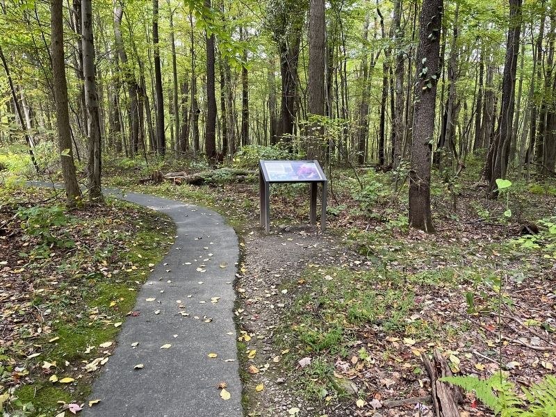
Location. 39° 52.788′ N, 79° 38.53′ W. Marker is in Hopwood, Pennsylvania, in Fayette County. It can be reached from Jumonville Road (County Road 2021), on the right when traveling north. Located on the loop trail in the Jumonville Glen unit of the Fort Necessity National Battlefield. Touch for map. Marker is in this post office area: Hopwood PA 15445, United States of America. Touch for directions.

Regionally, this marker is in Pennsylvania’s Laurel Highlands. It is also in the American Northeast, in the Mid-Atlantic, in Appalachia, and specifically in Northern Appalachia. Globally, it is in North America, the Western Hemisphere, the Western World, and the Anglosphere. Historically, it finds itself in what was once the Viceroyalty of New France, the Haudenosaunee (Iroquois) Confederacy, and one of the original Thirteen Colonies.
Other nearby markers. At least 8 other markers are within walking distance of this marker: Jumonville Glen
Photographed by Craig Swain, October 6, 2022
2. From Jumonville to a World War Marker
Also see . . . Fort Necessity Battlefield Park. The park has three primary units - the Fort Necessity and Washington Tavern's unit, Braddock's Grave unit, and Joumonville Glen. The last, and where this marker is located, is the most remote of the three. The other two are astride the National Road (US Highway 40). (Submitted on October 8, 2022, by Craig Swain of Leesburg, Virginia.)
Credits. This page was last revised on September 4, 2025. It was originally submitted on October 8, 2022, by Craig Swain of Leesburg, Virginia. This page has been viewed 389 times since then and 45 times this year. Last updated on August 20, 2025, by Bruce Guthrie of Silver Spring, Maryland. Photos: 1, 2. submitted on October 8, 2022, by Craig Swain of Leesburg, Virginia. • Devry Becker Jones was the editor who published this page.
