
Niagara Falls in Niagara Region, Ontario — Central Canada (North America)
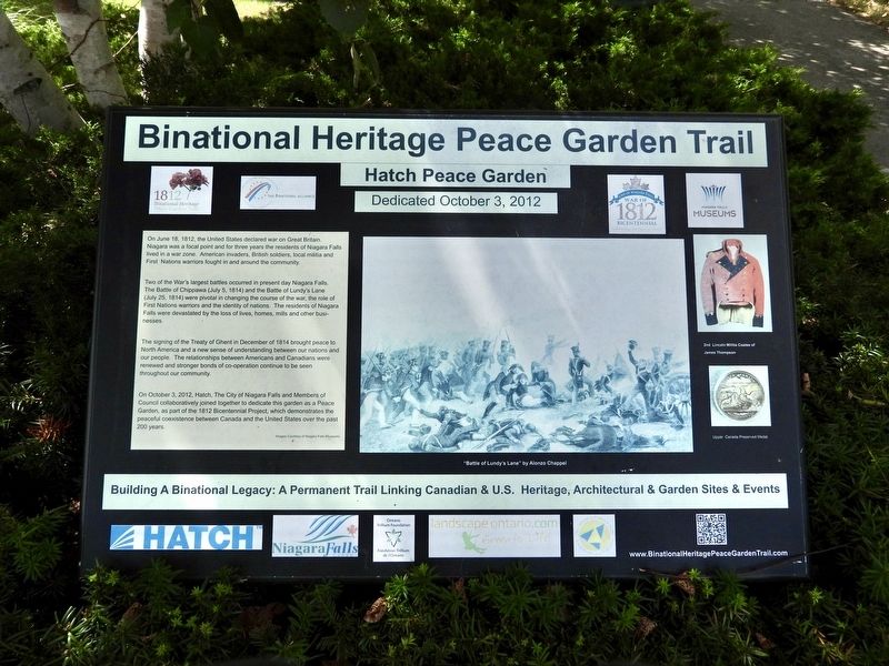
Binational Heritage Peace Garden Trail
Hatch Peace Garden Dedicated October 3, 2012
Photographed by Kevin Westell, August 18, 2025
1. Binational Heritage Peace Garden Trail - Marker
Two of the War's largest battles occurred in present day Niagara Falls. The Battle of Chippawa (July 5, 1814) and the Battle of Lundy's Lane (July 25, 1814) were pivotal in changing the course of the war, the role of First Nation warriors and the identity of nations. The residents of Niagara Falls were devastated by the loss of lives, homes, mills and other businesses.
The signing of the Treaty of Ghent in December of 1814 brought peace to North America and a new sense of understanding between our nations and our people. The relationships between Americans and Canadians were renewed and stronger bonds of co-operation continue to be seen throughout our community.
On October 3, 2012, Hatch, The City of Niagara Falls and Members of Council collaboratively joined together to dedicate this garden as a Peace Garden, a part of
this page online
Building A Binational Legacy: A Permanent Trail Linking Canadian & U.S. Heritage, Architectural & Garden Sites & Events
Erected 2012.
Topics. This memorial is listed in these topic lists: Parks & Recreational Areas • Peace • War of 1812. A significant historical year for this entry is 1812.
Location. 43° 6.388′ N, 79° 3.796′ W. Memorial is in Niagara Falls, Ontario, in Niagara Region. It is at the intersection of Queen Street and Erie Avenue, on the right when traveling east on Queen Street. The marker is 10 metres from both Queen St and Erie Avenue, within Downtown Park. Touch for map. Memorial is at or near this postal address: 4310 Queen Street, Niagara Falls ON L2E 2L1, Canada. Touch for directions.

Regionally, this memorial is on Ontario’s Golden Horseshoe and in Niagara Canada. It is also in Central Canada. Globally, it is in North America, on the Great Lakes, in the Western Hemisphere, in the Western World, and in the Anglosphere. Historically, it finds
Photographed by Kevin Westell, August 18, 2025
2. Binational Heritage Peace Garden Trail
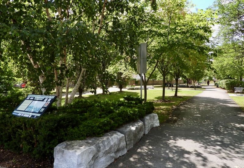
Photo faces south and south-east from Queen St into Downtown Park. The paved path that runs away on the right is part of a long rail trail.
Other nearby markers. At least 8 other markers are within walking distance of this marker: Olympic Torch Run Legacy Trail (a few steps from this marker); Rosberg Family Park (a few steps from this marker); Samuel Zimmerman 1815 - 1857 (within shouting distance of this marker); Rededication of Centennial Square and Dedication of the Peace Park (within shouting distance of this marker); Terry Fox (within shouting distance of this marker); 1904 - 2004 City of Niagara Falls Canada Celebrating 100 Years (within shouting distance of this marker); McClive Rosberg Block - Erected in 1904 (within shouting distance of this marker); Bampfield Hall 1872 (about 180 meters away, measured in a direct line). Touch for a list and map of all markers in Niagara Falls.
Photographed by Kevin Westell, August 18, 2025
3. Binational Heritage Peace Garden Trail - Marker in context
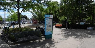
From Queen and Erie, three markers are visible at the north-west corner of Downtown Park. THIS marker (extreme right) is 10 metres in from Queen Street, near a white stone block.
Credits. This page was last revised on August 20, 2025. It was originally submitted on August 20, 2025, by Kevin Westell of St. Catharines, Ontario. This page has been viewed 92 times since then and 23 times this year. Photos: 1, 2, 3. submitted on August 20, 2025, by Kevin Westell of St. Catharines, Ontario. • Andrew Ruppenstein was the editor who published this page.
