
Milford Mine Memorial Park near Wolford in Crow Wing County, Minnesota — The American Midwest (Upper Plains)
Foley Pond/Milford Lake

Photographed by McGhiever, June 27, 2025
1. Foley Pond/Milford Lake Marker
One of the challenges of mining on the Cuyuna Range was the presence of numerous lakes, which made it both difficult to find, access and mine the area's ore. The Milford Mine is situated proximate to both Island Lake and Milford Lake.
Prior to the start of underground mining operations, Milford Lake (then called Foley Lake or Foley Pond) consisted of two bodies of water joined by a narrow neck and the lake was also surrounded by expansive wetlands.
Foley/Milford Lake on the 1912 USGS topographic map
Overlay of the 1913 and 1973 USGS topographic maps with the 1913 lake boundary outlined and caved ground indicated.
At the time of the 1924 disaster, the easternmost working on the Milford Mine were located about 1,000 feet to the east of the main shaft. These workings were beneath a muskeg swamp, but not the body of the lake. However, when the mine flooded on the afternoon of Tuesday February 5th, both the water level of the swamp and neighboring Foley Lake dropped, leading the commitee [sic] investigating the disaster to conclude that the water bodies were interconnected and that the pressure of Foley Lake contributed
this page online
Erected by Crow Wing County.
Topics. This historical marker is listed in these topic lists: Disasters • Industry & Commerce • Waterways & Vessels. A significant historical date for this entry is February 5, 1924.
Location. 46° 32.142′ N, 93° 58.148′ W. Marker is near Wolford, Minnesota, in Crow Wing County. It is in Milford Mine Memorial Park. It can be reached from Milford Lake Drive. The marker is at the end of the pier in Milford Lake. Touch for map. Marker is in this post office area: Crosby MN 56441, United States of America. Touch for directions.

Regionally, this marker is in Minnesota’s Northland. It is also in the American Midwest, in the Corn
Photographed by McGhiever, June 27, 2025
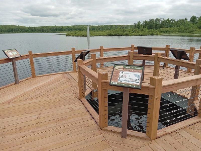
2. Foley Pond/Milford Lake Marker (far left) directly above the site of the 1924 collapse
Other nearby markers. At least 8 other markers are within walking distance of this marker: Milford Mine Collapse (here, next to this marker); a different marker also named Milford Mine Collapse (here, next to this marker); a different marker also named Milford Mine Collapse (here, next to this marker); a different marker also named Milford Mine Collapse (here, next to this marker); Geology (within shouting distance of this marker); Milford Mine Pre-Disaster (within shouting distance of this marker); Timber Shaft (about 400 feet away, measured in a direct line); Milford Miners Memorial (about 400 feet away). Touch for a list and map of all markers in Wolford.
Credits. This page was last revised on August 23, 2025. It was originally submitted on August 23, 2025, by McGhiever of Minneapolis, Minnesota. This page has been viewed 202 times since then and 63 times this year. Photos: 1. submitted on August 23, 2025, by McGhiever of Minneapolis, Minnesota. 2. submitted on August 10, 2025, by McGhiever of Minneapolis, Minnesota.
