Elkhart Township in Goshen in Elkhart County, Indiana — The American Midwest (Great Lakes)
The Lincoln Highway
America’s First Coast to Coast Highway
Photographed by Tom Bosse, August 8, 2025
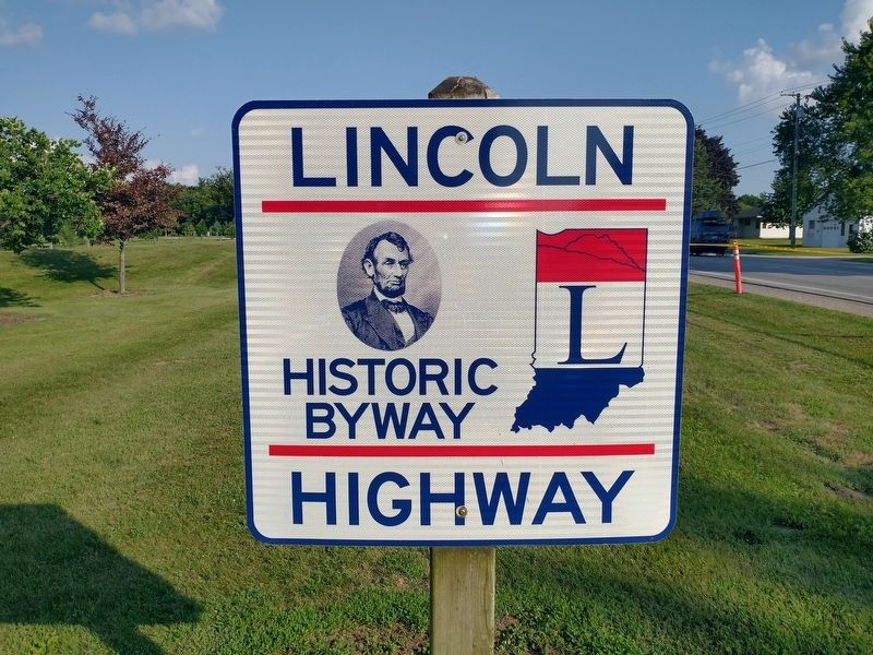
1. The Lincoln Highway Marker
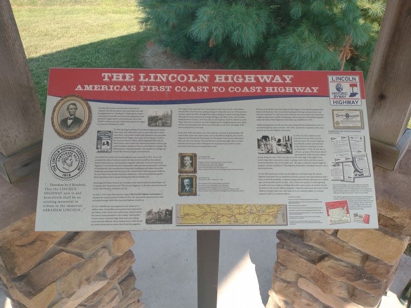
The idea that America needed better roads did not originate with the invention of the automobile but with bicyclists known as “wheelmen”. Challenged by rutted roads of gravel and dirt and faced with antagonism from horsemen, wagon drivers, and pedestrians, more than 100,000 cyclists across the United States joined the League of American Wheelmen in 1880.
In 1892, the league published Good Roads Magazine to further their cause, and within three years it reportedly had a million subscribers. Particularly notable and influential was a pamphlet published by the league, The Gospel of Good Roads: A Letter to the American Farmer (1891), which emphasized the ways in which better roads would serve farmers and make it easier to get crops to market, families to church, and children to schools. The following year a thousand people came together in Chicago and formed the National League of Good Roads.
One of the first of the Good Roads highways was conceived in 1912. It not only promoted the idea of national tourism but also served to publicize the need for federal involvement in road building. Originally called the “Coast-to-Coast
this page online
Encouraged by Henry Bourne Joy, President of the Detroit-based Packard Motor Car Company, they named the road “The Lincoln Highway” as the first national memorial 10 the 16th President, Abraham Lincoln.
On July 1, 1913 these businessmen created The Lincoln Highway Association to promote the concept and by October of 1913, the Association announced the cities and states through which this memorial highway would run.
In 1913, 180,000 cars were registered in the nation of 2.5 million miles, but less than seven percent were improved in any fashion. Most travel was in urban areas, with travel into the country being attempted in fair weather. Rain quickly turned country roads into thigh-deep mud ruts, making travel extremely difficult. Many
Photographed by Tom Bosse, August 8, 2025
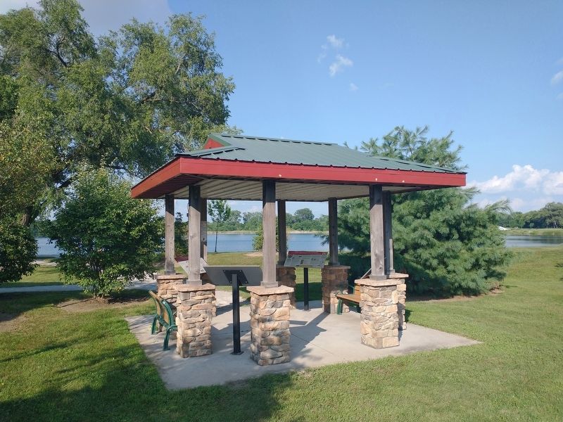
2. The Lincoln Highway Marker
The original route extended from Times Square in New York City for 3,389 miles to Lincoln Park in San Francisco, passing through 31 states (the route out of Pennsylvania was later routed into Ohio through West Virginia making 14 states) including Indiana. Although the route would not go through Michigan, the offices of the LHA would be headquartered in Detroit. Over time, the Lincoln Highway would be referred to as the “Main Street Across America” and with realignments for straightening the route, safety and the increased speed with which new automobiles could travel, the length of the road was shorted to 3, 142 miles.
By the mid-1920’s, the Nation was crisscrossed by a network of approximately 250 named trails. Some were major routes, such as the Jefferson Highway, the Lincoln Highway, the National Old Trails Road, the Old Spanish Trail, and the Yellowstone Trail, but most were shorter. They had become a confusing tangle, often o routes selected more because of the willingness of local groups to pay “dues” to a trail association tha because
Photographed by Tom Bosse, August 8, 2025
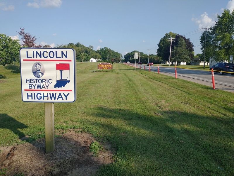
3. The Lincoln Highway
The start of the federal-state joint highway effort began in 1916 with the passage of the Federal Aid Road Act. This Act provided funding for the improvement of any rural road over which the U.S. mail was carried. Because aid was provided only if states had a highway department capable of designing, constructing and maintaining designated roads, the Indiana State Highway Commission was established in 1919.
Additional legislation over the next few years, along with the establishment of the U.S. numbered highway system, between 1925-1928, marked the completion of the main goals for the Lincoln Highway Association.
In 1928, LHA ended its active promotion, but not before one last publicity stunt. The Lincoln Highway was officially marked and dedicated to the memory of Abraham Lincoln on September 1, 1928. On that day, at 1:00 p.m., groups of Boy Scouts placed approximately 2,400 concrete markers at sites along the route. They were placed on the outer edge of the right-of-way at each important crossroad, at minor crossings, ad at other intervals to assure motorists that they were on the right road. The
Photographed by Tom Bosse, August 8, 2025
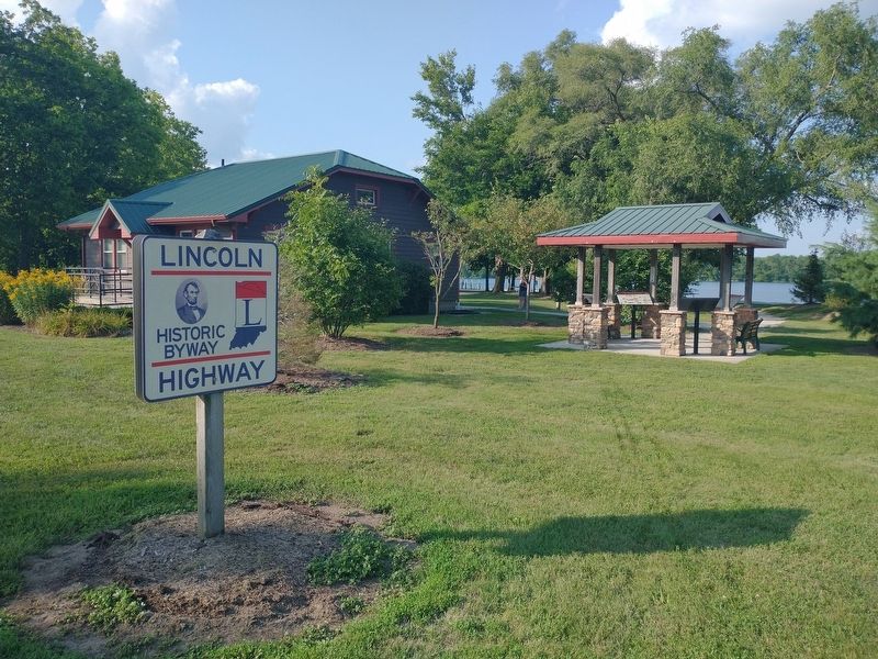
4. The Lincoln Highway Marker
On the 25th anniversary of the Lincoln Highway, Carl Fisher said: “The Lincoln Highway Association has accomplished its primary purpose, that of providing an object lesson to show the possibility in highway transportation and the importance of a unified, safe, and economical system of roads…Now I believe the country is at the beginning of another new era in highway building (that will) create a system of roads far beyond the dreams of the Lincoln Highway founders. I hope this anniversary observance makes millions of people realize how vital roads are to our national welfare, to economic programs, and to our national defense…
To promote the Highway, the Lincoln Highway Association called on the patriotism of the people and their memory of Abraham Lincoln. For a five-dollar donation, one could receive a great-looking certificate to proudly frame. For one-dollar, you could get two large LH pennants to attach to your vehicle.
Over ninety magazines and trade publications included frequent articles
Photographed by Tom Bosse, August 8, 2025
5. The Lincoln Highway
[Captions]:
Carl Graham Fisher
Jan. 12, 1874 – Jul. 15, 1939
President of Prest-O-Lite (forerunner to Union Carbide)
Created the North-South Dixie Highway
Real Estate development of Miami Beach
Inducted into the Automotive Hall of Fame 1971
(Photo courtesy of the University of Michigan Special Collections Library)
Henry Bourne Jay
November 12, 1864 – November 6, 1936
First President of the Lincoln Highway Association
Son of James F. Joy of Michigan Central Railroad
Served in the Spanish American Wat / World War I
Stated that the Lincoln Highway was “the greatest thing I ever did”.
(Photo courtesy of the University of Michigan Special Collections Library)
Topics. This historical marker is listed in this topic list: Roads & Vehicles. A significant historical date for this entry is July 1, 1913.
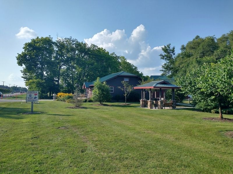
Location. 41° 34.273′ N, 85° 48.55′ W. Marker is in Goshen, Indiana, in Elkhart County. It is in Elkhart Township.
Photographed by Tom Bosse, August 8, 2025
6. The Lincoln Highway Marker

Regionally, this marker is in Northern Indiana and in Greater South Bend. It is also in the American Midwest and in the Corn Belt. Globally, it is in North America, the Western Hemisphere, the Western World, and the Anglosphere. Historically, it finds itself in what was once the territory of the Mississippian Culture and also the Northwest Territory.
Other nearby markers. At least 8 other markers are within 2 miles of this marker, measured as the crow flies: A different marker also named The Lincoln Highway (here, next to this marker); a different marker also named The Lincoln Highway (here, next to this marker); a different marker also named The Lincoln Highway (here, next to this marker); The Site of Fort Beane (approx. 0.7 miles away); Goshen College (approx. 0.8 miles away); A History of the Winona (approx. 1.1 miles away); Madison Street School and Chandler School (approx. 1.2 miles away); Pioneer Dierdorff Cemetery Folk Lore (approx. 1.2 miles away). Touch for a list and map of all markers in Goshen.
Related markers. Click here for a list of markers that are related to this marker.
Also see . . . Lincoln Highway Association. (Submitted on August 23, 2025, by Tom Bosse of Jefferson City, Tennessee.)
Credits. This page was last revised on September 9, 2025. It was originally submitted on August 23, 2025, by Tom Bosse of Jefferson City, Tennessee. This page has been viewed 97 times since then and 37 times this year. Photos: 1, 2, 3, 4, 5, 6. submitted on August 23, 2025, by Tom Bosse of Jefferson City, Tennessee. • Devry Becker Jones was the editor who published this page.
