Elkhart Township in Goshen in Elkhart County, Indiana — The American Midwest (Great Lakes)
The Lincoln Highway
First National Memorial to Abraham Lincoln
Photographed by Tom Bosse, August 8, 2025
1. The Lincoln Highway Marker
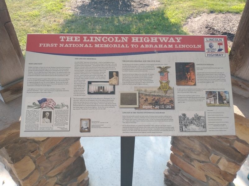
Why Lincoln?
Neither Carl Fisher or Henry Joy ever met Abraham Lincoln but both had gown up in a nation that was still grieving over the death of the “Great Emancipator” and that was still searching for a fitting way to nationally honor the martyred President. It is very likely that Henry’s father, James F. Joy, spoke favorably of the twelve-year relationship he had with Lincoln from the time James hired Lincoln to represent the Illinois Central Railroad until Lincoln’s assassination in 1865.
So when Henry Joy agreed to support Fisher’s plan for a coast-to-coast highway, it was out of respect for his father’s friend and the nation’s 16th President that he suggested naming the road The Lincoln Highway. The fact that this would be a memorial highway is referenced several times in the September 10, 1913, Proclamation of Route of The Lincoln Highway –
“…this highway is to be known, in memory of Abraham Lincoln, as “THE LINCOLN HIGHWAY…” and “…that is may become an appropriate memorial to the great martyred patriot whose name it bears…”[Insert]:
The Lincoln Highway is on the map. An enduring and useful memorial has been created to the greatest American. The universal approval expressed on all sides is tribute to the memory of a man beloved by the people. It is unique in the annals of American history that a proposal of a national memorial should not even be debated as to its propriety of its fitness. Could there be a greater tribute?
The Lincoln Way already exists. One can travel on it entirely across these broad United States. Throughout its length of approximately 3,500 miles, it is in daily use by hundreds of thousands of people. The evolution of this memorial has begun. In loving tribute it will be carried, as time passes, to its ultimate ideal. No cenotaph could so much through the years strengthen patriotism and bring closer to us all the great principles of public service which Lincoln so ably illuminated by his life’s work.
To aid in advancing the evolution of the Lincoln Way, either by gift or effort, is to serve the nation as a whole. It is a work to which all can lend aid and derive benefit in return and experience the golden satisfaction of duty well done.
The work of “broadening, straightening, maintaining and beautifying this memorial road” will be a labor of love by a patriotic people.
Henry
this page online
President of the Lincoln Highway Association
The Lincoln Memorial
An article titled, “Importance of Good Roads – Coast-to-Coast Highway Project Gaining Advocates Every Day Among All Classes of People” in the Aug. 7, 1913 issue of Coleman’s Rural World stated, “…In naming this Coast-to-Coast road, the Lincoln Highway, its founders believe they have at last entered upon a work which will be suitable in character and permanent in form as a great and lasting memorial to the martyred President. In the capital at Washington there is to be a Lincoln building in which the Lincoln furniture, manuscripts, and picture will be placed on view. Comparatively few will ever see it. Lincoln came from and was part of the people. The Lincoln Highway will reach all the people. It will be employed by everyone, bring a benefit to everyone and the ‘Lincoln way’, as it will be eventually known, will keep ‘old Abe’ close to the hearts and sympathies of the nation. So those who help contribute, help to keep the memory of Abraham Lincoln as keen and as perpetual as the life of the nation.”
The Lincoln Highway pre-dates the Lincoln Memorial in
Photographed by Tom Bosse, August 8, 2025
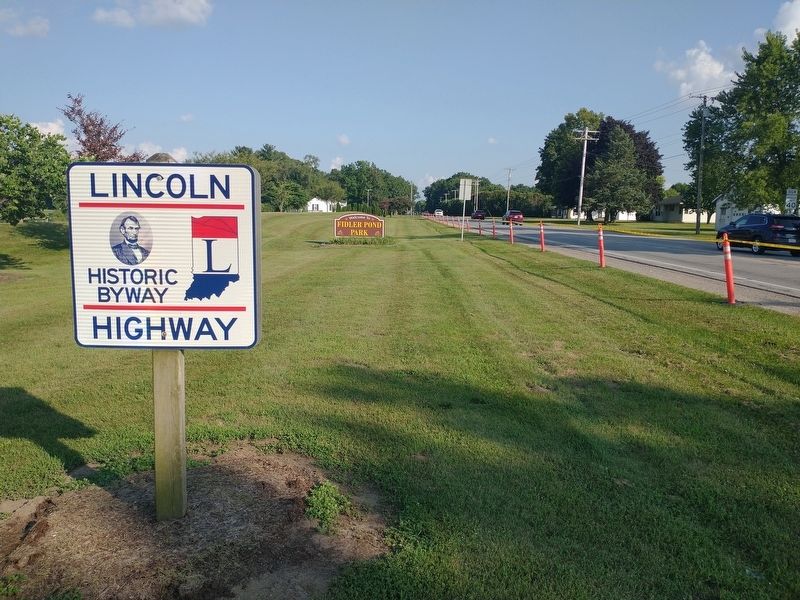
2. The Lincoln Highway
[Caption]: James Frederick Joy December 20, 1910 – September 24, 1896
Prominent attorney in Detroit
Railroad Entrepreneur
Close friend and supporter of Abraham Lincoln The Lincoln Highway and The Civil War
The date chosen by the founders to establish the Lincoln Highway Association, July 1 (1913), coincided with the same date in 1863 on which the greatest battle in the American Civil War was begun at Gettysburg, Pennsylvania. Lincoln’s greatest speech would be made there at the dedication of the Soldier’s National Cemetery in November 1863.
Support for the Lincoln Highway soon came from the veterans who had served in Mr. Lincoln’s Army during the
Photographed by Tom Bosse, August 8, 2025
3. The Lincoln Highway
Lincoln & The Transcontinental Railroad
Before the automobile existed, the main modes of transportation included walking, horse, wagon and boat. As a visionary, Abraham Lincoln saw how the relatively new invention of the railroad could connect a nation east to west. In 1847, he characterized railroad building as “…a link with a great chain of railroad communication which shall unite Boston and New York with the Mississippi…”
He was elected president on a platform that declared, “That a railroad to the Pacific Ocean is imperatively demanded by the interests of the whole country; that the Federal Government ought to render immediate and efficient aid in its construction.” As president, Lincoln signed the Pacific Railway Act of 1862 and the 1864 amendments to that act for the first transcontinental railroad, 51 years before a transcontinental
Photographed by Tom Bosse, August 8, 2025
4. The Lincoln Highway Marker
Lincoln in Indiana
Indiana was Lincoln’s boyhood home from age 7 to 21 (1816-1830).
Lincoln’s family moved from Kentucky in the winter of 1816, just before Indiana became a state, to Little Pigeon Creek Settlement (present day Lincoln City, Indiana). The reason for the move was for both economic opportunity and because Indiana was a free state in regards to slavery. The young Lincoln first saw large numbers of slaves while on a trip to New Orleans in 1828.
In 1830, Lincoln and his family moved to Macon County in southern Illinois where he became a self-taught lawyer passing the bar examination in 1836. He married Mary Todd in 1842.
Lincoln became involved in politics and was eventually elected President during one of the darkest times in our nation – the Civil War. He would be the first president to be assassinated when he died on April 15, 1863.
Photo Credits –
James F. Joy: Courtesy of kansasmemory.org
Boyhood Lincoln: Courtesy of kiarts.org
Gettysburg Address: Courtesy of the Library of Congress
Cabin Photos: Courtesy of National Park Service
Gettysburg
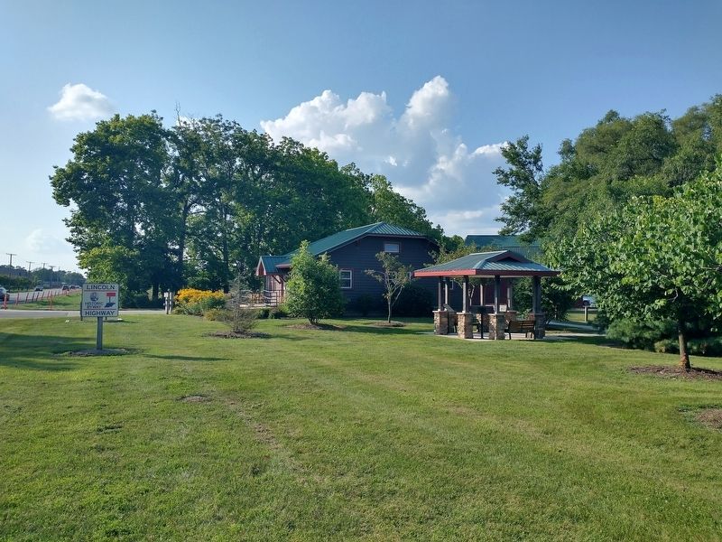
Photographed by Tom Bosse, August 8, 2025
5. The Lincoln Highway Marker
Joy’s Words: Courtesy of The Lincoln Highway National Museum & Archives
Lincoln Memorial Photos: Courtesy of Dreamtime
Public Railway: Courtesy of National Archives
Topics and series. This historical marker is listed in this topic list: Roads & Vehicles. In addition, it is included in the Lincoln Highway series list. A significant historical date for this entry is April 15, 1863.
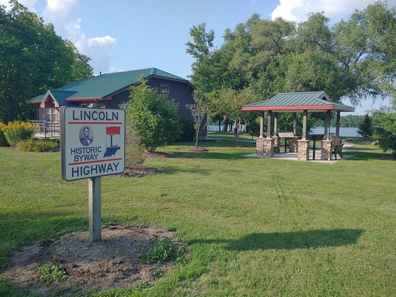
Location. 41° 34.272′ N, 85° 48.549′ W. Marker is in Goshen, Indiana, in Elkhart County. It is in Elkhart Township. It is on Lincolnway East (U.S. 33), on the left when traveling east. Marker located at Fidler Pond Park. Touch for map. Marker is in this post office area: Goshen IN 46526, United States of America. Touch for directions.

Regionally, this marker is in Northern Indiana and in Greater South Bend. It is also in the American Midwest and in the Corn Belt. Globally, it is in North America, the Western Hemisphere, the Western World, and the Anglosphere. Historically, it finds itself in what was once the territory of the Mississippian Culture and also the Northwest Territory.
Other nearby markers. At
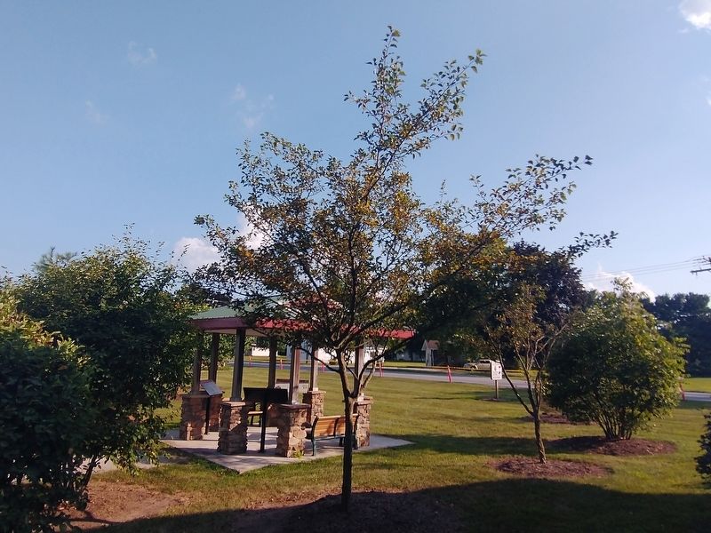
Photographed by Tom Bosse, August 8, 2025
6. The Lincoln Highway Marker
Related markers. Click here for a list of markers that are related to this marker.
Also see . . . Lincoln Highway Association. (Submitted on August 23, 2025, by Tom Bosse of Jefferson City, Tennessee.)
Credits. This page was last revised on August 28, 2025. It was originally submitted on August 23, 2025, by Tom Bosse of Jefferson City, Tennessee. This page has been viewed 103 times since then and 35 times this year. Photos: 1, 2, 3, 4, 5, 6. submitted on August 23, 2025, by Tom Bosse of Jefferson City, Tennessee. • Andrew Ruppenstein was the editor who published this page.
