
Colorado Springs in El Paso County, Colorado — The American Mountains (Southwest)
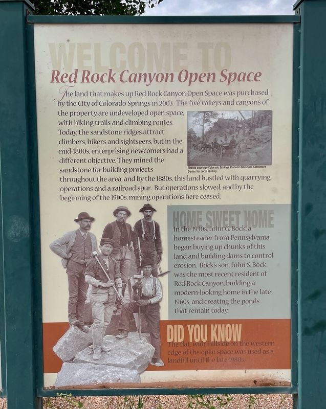
Welcome to Red Rock Canyon Open Space
Photographed by Mark Hilton, August 8, 2025
1. Welcome to Red Rock Canyon Open Space Marker
The land that makes up Red Rock Canyon Open Space was purchased by the City of Colorado Springs in 2003. The five valleys and canyons of the property are undeveloped open space, with hiking trails and climbing routes. Today, the sandstone ridges attract climbers, hikers and sightseers, but in the mid-1800s, enterprising newcomers had a different objective. They mined the sandstone for building projects throughout the area, and by the 1880s, this land bustled with quarrying operations and a railroad spur. But operations slowed, and by the beginning of the 1900s, mining operations here ceased.
Home Sweet Home
In the 1930s, John G. Bock, a homesteader from Pennsylvania, began buying up chunks of this land and building dams to control erosion. Bock's son, John S. Bock, was the most recent resident of Red Rock Canyon, building a modern-looking home in the late 1960s, and creating the ponds that remain today.
Did You Know
The flat, wide hillside on the western edge of the open space was used as a landfill until the late 1980s.
Photos courtesy Colorado Springs Pioneers Museum, Starsmore Center for Local History.
Erected by City
this page online
Topics. This historical marker is listed in this topic list: Parks & Recreational Areas. A significant historical year for this entry is 2003.
Location. 38° 51.084′ N, 104° 52.717′ W. Marker is in Colorado Springs, Colorado, in El Paso County. It can be reached from High Street 0.4 miles west of Ridge Road. Located in the westernmost parking area of the three. Touch for map. Marker is at or near this postal address: 3550 W High St, Colorado Springs CO 80904, United States of America. Touch for directions.

Regionally, this marker is in Colorado’s Front Range and in Pikes Peak Region. It is also in the American Mountain West. Globally, it is in North America, the Rocky Mountains, the Western Hemisphere, the Western World, and the Anglosphere. Historically, it finds itself in what was once the Comanchería.
Other nearby markers. At least 8 other markers are within walking distance of this marker: Precious red stone (approx. 0.6 miles away); Old Fort and Stockade (approx. 0.6 miles away); Colorado City, First Territorial Capital (approx. 0.8 miles away); The Original Colorado City (approx. 0.9 miles away);
Photographed by Mark Hilton, August 8, 2025
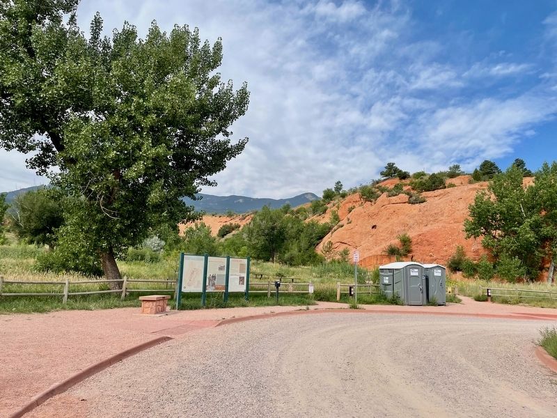
2. View of markers and Red Rocks.
Also see . . . History of the Red Rock Canyon Open Space - City website. (Submitted on August 23, 2025, by Mark Hilton of Montgomery, Alabama.)
Photographed by Mark Hilton, August 8, 2025
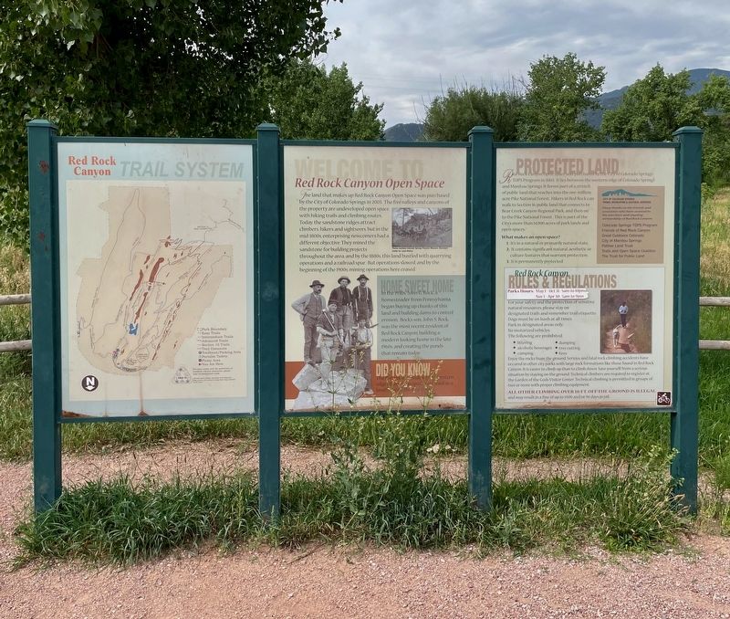
3. Welcome to Red Rock Canyon Open Space Markers
Photographed by Mark Hilton, August 8, 2025
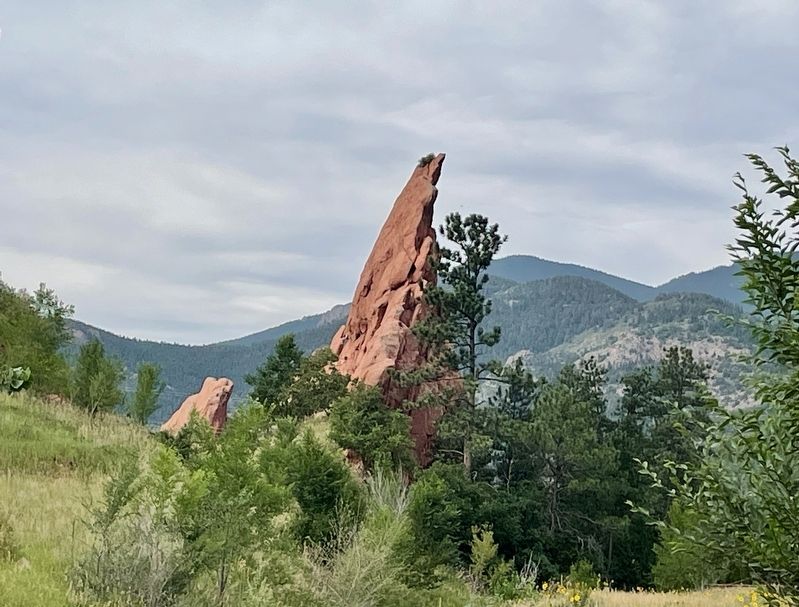
4. View of Red Rock at eastern most parking area.
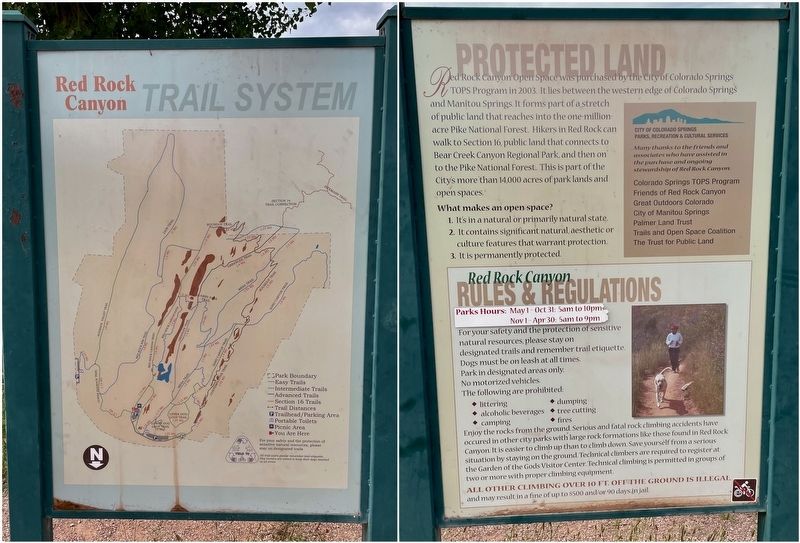
Photographed by Mark Hilton
5. Closeup of the other informational markers.
Credits. This page was last revised on August 23, 2025. It was originally submitted on August 23, 2025, by Mark Hilton of Montgomery, Alabama. This page has been viewed 85 times since then and 14 times this year. Photos: 1, 2, 3, 4, 5. submitted on August 23, 2025, by Mark Hilton of Montgomery, Alabama.
