Clyde in Wayne County, New York — The American Northeast (Mid-Atlantic)
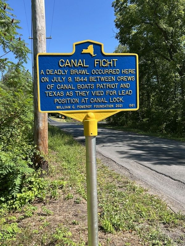
Canal Fight
Photographed by Susan A. Dalaba, August 22, 2025
1. Canal Fight Marker
on July 9, 1844 between crews
of canal boats Patriot and
Texas as the vied for lead
position at the canal lock.
Erected 2021 by William G. Pomeroy Foundation. (Marker Number 861.)
Topics and series. This historical marker is listed in this topic list: Waterways & Vessels. In addition, it is included in the Erie Canal, and the William G. Pomeroy Foundation series lists. A significant historical date for this entry is July 9, 1844.
Location. 43° 4.606′ N, 76° 56.818′ W. Marker is in Clyde, New York, in Wayne County. It is on Gansz Road, on the left when traveling north. Marker is after Peters Road on the left near the NYS Empire Trail but before State Route 31. Touch for map. Marker is in this post office area: Lyons NY 14489, United States of America. Touch for directions.

Regionally, this marker is in Upstate New York, specifically in Western New York, in the Finger Lakes, and in the Rochester Metropolitan Area. It is also in the American Northeast and in the Mid-Atlantic. Globally, it is in North America, on the Great Lakes, in the Western Hemisphere, in the Western World, and in
this page online
Other nearby markers. At least 8 other markers are within 3 miles of this marker, measured as the crow flies: Enlarged Erie Canal Lock 54 “Lock Berlin” (about 500 feet away, measured in a direct line); The Erie Canal (about 600 feet away); Mildred Taylor (approx. 2.2 miles away); Gratefully Dedicated (approx. 2.4 miles away); Taylor Memorial Park (approx. 2.4 miles away); Trolley Station (approx. 2.4 miles away); It is 1880 and You are Riding on a Packet Boat (approx. 2.4 miles away); Pomeroy Anvil (approx. 2.4 miles away).
Also see . . . Canal Fight (William G. Pomeroy Foundation). (Submitted on August 24, 2025.)
Photographed by Susan A. Dalaba, August 22, 2025
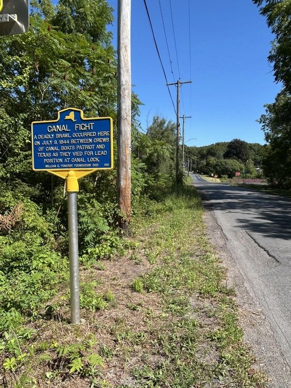
2. Canal Fight Marker
Photographed by Susan A. Dalaba, August 22, 2025
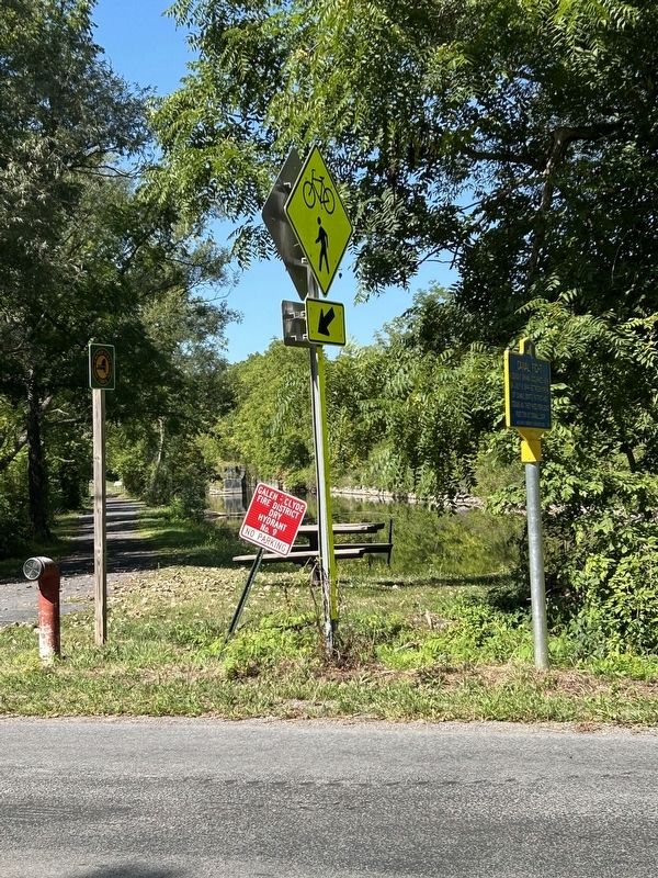
3. Canal Fight Marker and Empire State Trail
Photographed by Susan A. Dalaba, August 22, 2025
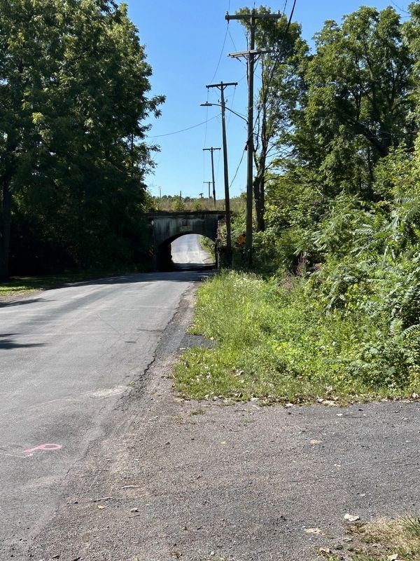
4. Canal Fight Marker Facing South
Credits. This page was last revised on August 24, 2025. It was originally submitted on August 23, 2025, by Susan A. Dalaba of Cortland, New York. This page has been viewed 137 times since then and 30 times this year. Photos: 1, 2, 3, 4. submitted on August 23, 2025, by Susan A. Dalaba of Cortland, New York. • Andrew Ruppenstein was the editor who published this page.
