
Marker Logo
THE HISTORICAL
MARKER DATABASE
“Bite-Size Bits of Local, National, and Global History”
Near Green River in Emery County, Utah — The American Mountains (Southwest)
 

Crossing the River
 
 
Crossing the River Marker image. Click for full size.
Photographed by Tom Bosse, June 7, 2025
1. Crossing the River Marker
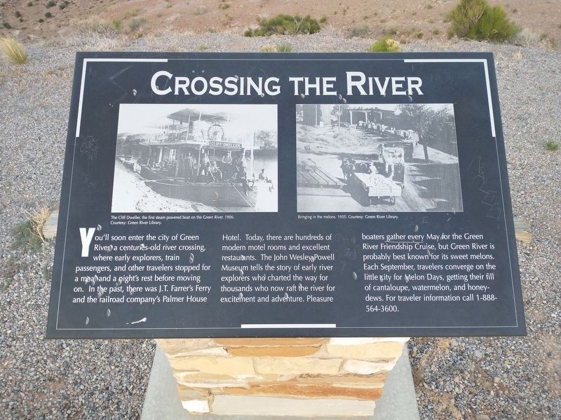
Inscription. You’ll soon enter the city of Green River, a century-old crossing, where early explorers, train passengers, and other travelers stopped for a meal and a night’s rest before moving on. In the past, there was J.T. Farrer’s Ferry and the railroad company’s Palmer House Hotel. Today, there are hundreds of modern motel rooms and excellent restaurants. The John Wesley Powell Museum tells the story of early river explorers who charted the way for thousands who now raft the river for excitement and adventure. Pleasure boaters gather every May for the Green River Friendship Cruise, but Green River is probably best known for its sweet melons. Each September, travelers converge on the little city for Melon Days, getting their fill of cantaloupe, watermelon, and honey-dews. For traveler information call 1-888-564-3600.

[Caption]: The Cliff Dweller, the first steam powered boat on the Green River, 1906. Courtesy: Green River Library

[Caption]: Bringing home the melons, 1935. Courtesy: Green River Library
 
Topics. This historical marker is listed in this topic list: Waterways & Vessels. A significant historical year for this entry is 1906.
 
Location. 38° 56.002′ N,
Paid Advertisement
Click or scan to see
this page online
110° 28.329′ W. Marker is near Green River, Utah, in Emery County. It can be reached from Interstate 70, on the right when traveling east. Marker located at the Spotted Wolf Canyon View Area. Touch for map. Marker is in this post office area: Green River UT 84525, United States of America. Touch for directions.

Regionally, this marker is in Canyon Country. It is also in the American Mountain West, on the Colorado Plateau, and at the Four Corners. Globally, it is in North America, the Western Hemisphere, the Western World, and the Anglosphere. Historically, it finds itself in what was once New Spain and also Mexico’s Alta California.

Other nearby markers. At least 2 other markers are within walking distance of this marker: Spotted Wolf Canyon (within shouting distance of this marker); The San Rafael Swell (approx. Ύ mile away).
 
Related markers. Click here for a list of markers that are related to this marker.
 
Crossing the River Marker image. Click for full size.
Photographed by Tom Bosse, June 7, 2025
2. Crossing the River Marker
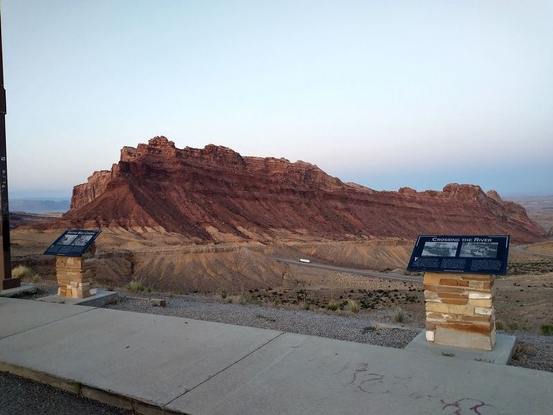
Marker is on the right.
 
 
Credits. This page was last revised on August 24, 2025. It was originally submitted on August 24, 2025, by Tom Bosse of Jefferson City, Tennessee. This page has been viewed 70 times since then and 17 times this year. Photos:   1, 2. submitted on August 24, 2025, by Tom Bosse of Jefferson City, Tennessee. • Andrew Ruppenstein was the editor who published this page.

m=282586

CeraNet Cloud Computing sponsors the Historical Marker Database.
This website earns income from purchases you make after using our links to Amazon.com. We appreciate your support.
Paid Advertisement
Sep. 11, 2026
