Near Livingston in Park County, Montana — The American West (Mountains)
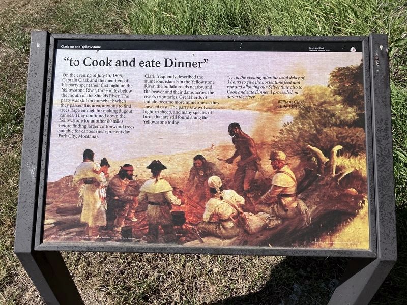
"to Cook and eate Dinner"
Clark on the Yellowstone
| — | Lewis and Clark National Historic Trail | — |
Photographed by Barry Swackhamer, July 28, 2025
1. "to Cook and eate Dinner" Marker
Caption: Artist John Clymer depicts William Clark and his party camping on the Yellowstone, courtesy of the Clymer Museum.
"… in the evening after the usial delay of 3 hours to give the horses time to feed and rest and allowing our Selves time also to Cook and eate Dinner, I proseeded on down the down the river…" William Clark July 15, 1806
On the evening of July 15, 1806, Captain Clark and members of his party spent their first night on the Yellowstone River, three miles below the mouth of the Shields River. The party was still on horseback when they passed this area, anxious to find trees large enough for making dugout canoes. They continued down the Yellowstone for another 80 miles before finding larger cottonwood trees suitable for canoes (near present day Park City, Montana).
Clark frequently described the numerous islands of the Yellowstone River, the buffalo roads nearby, and the beaver and their dams across the river's tributaries. Great herds of buffalo became more numerous as they traveled east. The party saw wolves, bighorn sheep, and many species of birds that are still found along the Yellowstone today.
Erected by National Park Service, U.S. Department of the Interior.
Topics and series. This historical marker
this page online
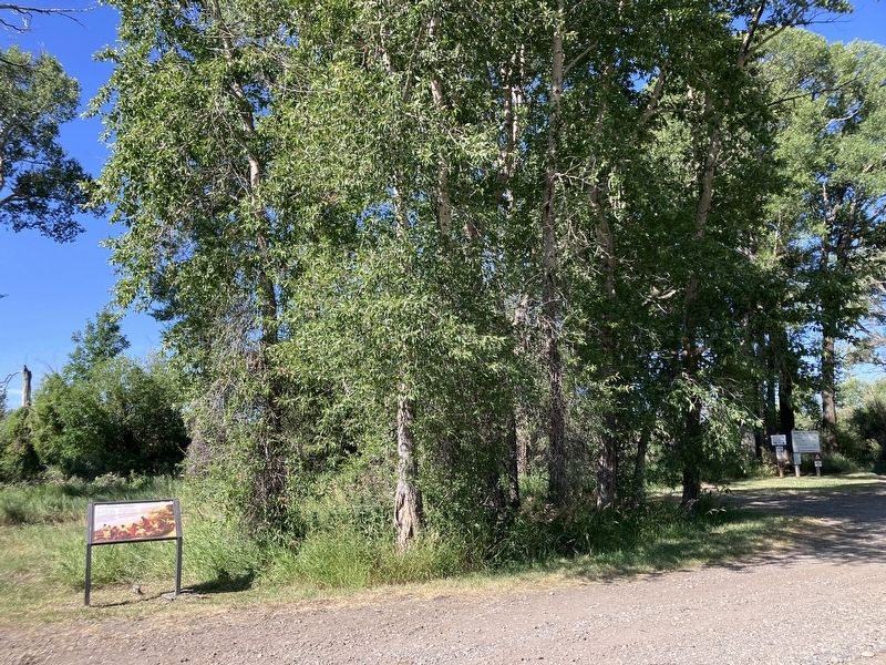
Location. 45° 43.813′ N, 110° 24.382′ W. Marker is near Livingston, Montana, in Park County. It can be reached from Convict Grade Road near U.S. 89. The marker is located at the Sheep Mountain Fishing Access Site, just beyond where the paved road ends and become gravel. Touch for map. Marker is at or near this postal address: 232 Convict Grade Rd, Livingston MT 59047, United States of America. Touch for directions.

Regionally, this marker is in Yellowstone Country and in Greater Bozeman. It is also in the American Mountain West and in the Lewis & Clark Corridor. Globally, it is in North America, the Rocky Mountains, the Western Hemisphere, the Western World, and the Anglosphere. Historically, it finds itself in what was once Rupert’s Land and also the Louisiana Purchase.
Other nearby markers. At least 8 other markers are within 9 miles of this marker, measured as the crow flies: Indians, Explorers & Cowboys (approx. 1.4 miles away);
Photographed by Barry Swackhamer, July 28, 2025
2. "to Cook and eate Dinner" Marker
Credits. This page was last revised on December 25, 2025. It was originally submitted on August 24, 2025, by Barry Swackhamer of Brentwood, California. This page has been viewed 90 times since then and 30 times this year. Photos: 1, 2. submitted on August 24, 2025, by Barry Swackhamer of Brentwood, California.
