Meyersdale in Somerset County, Pennsylvania — The American Northeast (Mid-Atlantic)
How Sweet It Is!

Photographed by Bradley Owen, July 22, 2026
1. How Sweet It Is! Marker
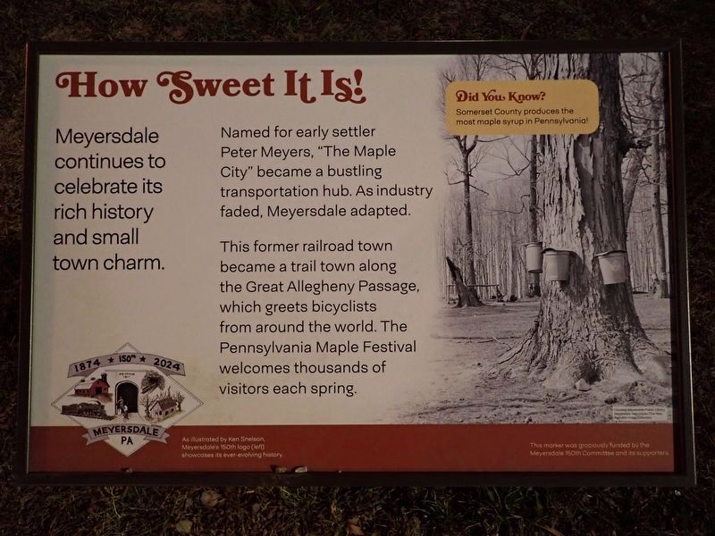
Meyersdale continues to celebrate its rich history and small town charm.
Named for early settler Peter Meyers, "The Maple City" became a bustling transportation hub. As industry faded, Meyersdale adapted.
This former railroad town became a trail town along the Great Allegheny Passage, which greets bicyclists from around the world. The Pennsylvania Maple Festival welcomes thousands of visitors each spring.
(caption)
Did You Know? Somerset County produces the most maple syrup in Pennsylvania!
Erected 2024 by Meyersdale 150th Committee.
Topics. This historical marker is listed in these topic lists: Industry & Commerce • Parks & Recreational Areas • Railroads & Streetcars.
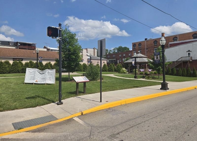
Location. 39° 48.881′ N, 79° 1.53′ W. Marker is in Meyersdale, Pennsylvania, in Somerset County. It is at the intersection of Center Street and Main Street, on the right when traveling north on Center Street. Touch for map. Marker is at or near this postal address: 150 Center Street, Meyersdale PA 15552, United States of America. Touch for directions.

Regionally,
this page online
Other nearby markers. At least 8 other markers are within walking distance of this marker: Meyersdale Centennial (about 500 feet away, measured in a direct line); Defenders of Freedom and Justice Memorial (about 500 feet away); Korean War/Vietnam Memorial (about 500 feet away); Lest We Forget (about 500 feet away); Early Meyersdale (about 600 feet away); Veterans Memorial (approx. ¼ mile away); Meyersdale (approx. ¼ mile away); a different marker also named Meyersdale (approx. ¼ mile away). Touch for a list and map of all markers in Meyersdale.
Photographed by Conrad Ward, February 7, 2025
2. How Sweet It Is! marker
Photographed by Bradley Owen, July 22, 2026
3. How Sweet It Is! Marker
Credits. This page was last revised on August 1, 2026. It was originally submitted on August 24, 2025, by Conrad Ward of Guilford, Connecticut. This page has been viewed 117 times since then and 41 times this year. Photos: 1. submitted on July 22, 2026, by Bradley Owen of Morgantown, West Virginia. 2. submitted on August 24, 2025, by Conrad Ward of Guilford, Connecticut. 3. submitted on July 22, 2026, by Bradley Owen of Morgantown, West Virginia. • Andrew Ruppenstein was the editor who published this page.
