
Georgetown in Clear Creek County, Colorado — The American Mountains (Southwest)
The Park
Georgetown Loop Mining & RR Park
Photographed by Sandra Hughes Tidwell, August 3, 2025
1. The Park Marker
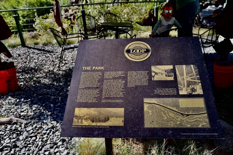
Situated in the heart of Colorado's Front Range, the Georgetown Loop Mining and Railroad Park recreates a significant part of Colorado's historic Clear Creek Valley. Some of the most important events of the Colorado gold and silver booms took place here and made the town's name known across the nation. Although the valley lay quiet for several decades after the closing of the famed Georgetown Loop Railroad in 1939, it was not forgotten.
In 1959, the centennial year of the first major Rocky Mountain gold strikes, a gift of mining claims and land to the Colorado Historical Society formed the nucleus of a new park- a place to tell the story of early Colorado mining and railroading of the state. Soon after, the Society worked with the Colorado Department of Highways to position Interstate 70 high on Republican Mountain so as to preserve the valley and the original railroad grade for future construction.
That work began in 1973, and within two years, railroad passenger trains were operating over a partial but gradually lengthening line of track. Next, the Lebanon Mine was opened, and the Lebanon Mill was stabilized for
this page online
Visitor facilities and interpretive areas have since been expanded to tell the story of nineteenth-century frontier mining and its impact on the development of the American West. Nestled in the scenic Clear Creek Valley, the Georgetown Loop Mining and Railroad Park not only offers educational and recreational opportunities but also significantly helps fulfill the mission of the Colorado Historical Society to preserve and interpret the history of Colorado to present and future generations.
Topics. This historical marker is listed in these topic lists: Industry & Commerce • Parks & Recreational Areas • Railroads & Streetcars. A significant historical year for this entry is 1939.
Location. 39° 42.06′ N, 105° 42.407′ W. Marker is in Georgetown, Colorado, in Clear Creek County. It is on Loop Drive. Touch for map. Marker is at or near this postal address: 646 Loop
Photographed by Sandra Hughes Tidwell, August 3, 2025
2. Clear Creek
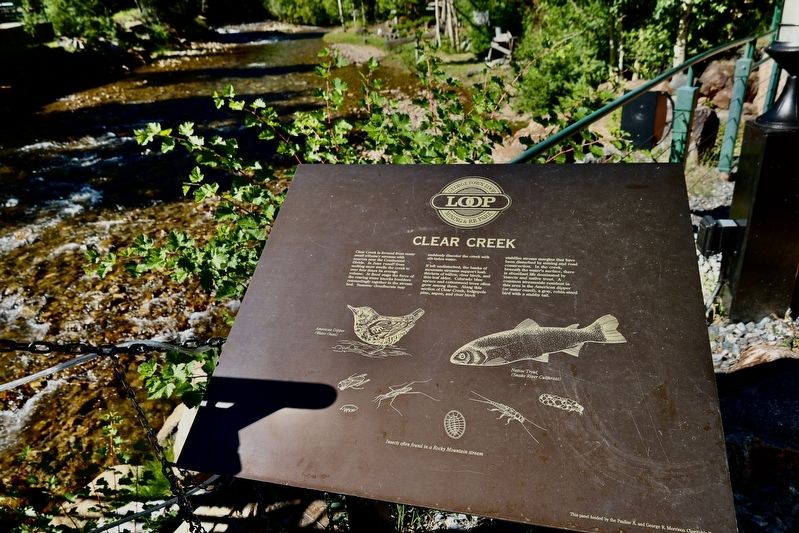
Clear Creek is formed from many small streams with resources near the Continental Divide. In June, runoff from melting snow swells the creek ot over four times its average volume. At flood stage, the force of the roaring water knocks boulders resoundingly together in the stream bed. Summer cloudbursts may suddenly discolor the creek with sit-laden water.

Regionally, this marker is in the Colorado High Rockies and on the Continental Divide. It is also in the American Mountain West. Globally, it is in North America, the Rocky Mountains, the Western Hemisphere, the Western World, and the Anglosphere.
Other nearby markers. At least 8 other markers are within walking distance of this marker: The Georgetown Loop (a few steps from this marker); Georgetown Loop Project (within shouting distance of this marker); Hamill House Museum (approx. half a mile away); Cornish House, 1892 (approx. half a mile away); Teal Building, 1875 (approx. 0.6 miles away); Old Town Jail (approx. 0.6 miles away); Old County Courthouse, 1868 (approx. 0.6 miles away); Commemorating the Historical Importance of the Georgetown Mining Region (approx. 0.6 miles away). Touch for a list and map of all markers in Georgetown.
Photographed by Sandra Hughes Tidwell, August 3, 2025
3. The Park Marker
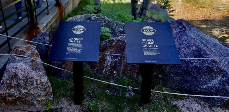
Banded Gneiss and Silver Plume Granite
Credits. This page was last revised on August 28, 2025. It was originally submitted on August 25, 2025, by Sandra Hughes Tidwell of Killen, Alabama, USA. This page has been viewed 97 times since then and 29 times this year. Photos: 1, 2, 3. submitted on August 25, 2025, by Sandra Hughes Tidwell of Killen, Alabama, USA. • Andrew Ruppenstein was the editor who published this page.
