Penn Valley in Nevada County, California — The American West (Pacific Coastal)
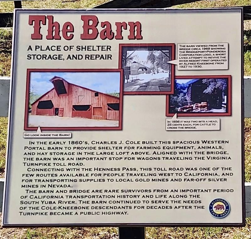
The Barn
A Place of Shelter, Storage, and Repair
Photographed by Craig Baker
1. The Barn Marker
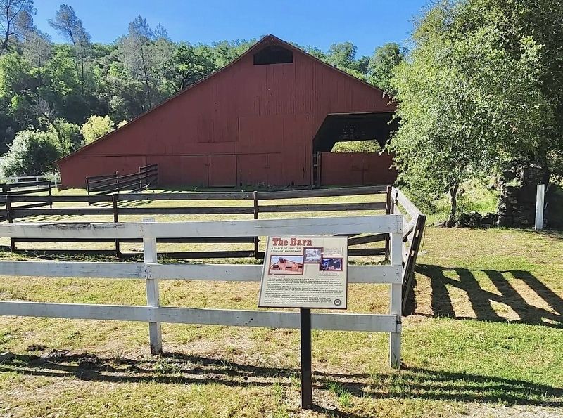
In the early 1860's, Charles J. Cole built this spacious Western Portal barn to provide shelter for farming equipment, animals, and hay storage in the large loft above. Aligned with the bridge, the barn was an important stop for wagons traveling the Virginia Turnpike toll road.
Connecting with the Henness Pass, this toll road was one of the few routes available for people traveling west to California, and for transporting supplies to local gold mines and far-off silver mines in Nevada.
The barn and bridge are rare survivors from an important period of California transportation history and life along the South Yuba River. The barn continued to serve the needs of the Cole-Kneebone descendants for decades after the turnpike became a public highway.
Erected by California State Parks.
Topics. This historical marker is listed in these topic lists: Agriculture • Architecture.
Location. 39° 17.532′ N, 121° 11.693′ W. Marker is in Penn Valley, California, in Nevada County. It can be reached from Pleasant Valley Road 7½ miles north of California
this page online

Regionally, this marker is in California’s Sierra Nevada. It is also in the American Mountain West. Globally, it is in North America, on the Ring of Fire, in the Pacific Rim, in the Western Hemisphere, in the Western World, and in the Anglosphere. Historically, it finds itself in what was once New Spain and also Mexico’s Alta California.
Other nearby markers. At least 8 other markers are within 4 miles of this marker, measured as the crow flies: Bridgeport Bridge (within shouting distance of this marker); Bridgeport Historic District (within shouting distance of this marker); Convenience Comes to the South Yuba River (within shouting distance of this marker); a different marker also named Bridgeport Bridge (about 300 feet away, measured in a direct line); The First Long Distance Telephone (approx. 2 miles away); Birchville (approx. 3.7 miles away); Jacob Van Blaren
Photographed by Craig Baker, August 21, 2025
2. The Barn and Marker
Another marker is no longer nearby. Bridgeport (Nyes Crossing) Covered Bridge (was within shouting distance of this marker but has been replaced with another marker now near it).
Credits. This page was last revised on August 28, 2025. It was originally submitted on August 25, 2025, by Craig Baker of Sylmar, California. This page has been viewed 126 times since then and 27 times this year. Photos: 1, 2. submitted on August 25, 2025, by Craig Baker of Sylmar, California.
