Goderich in Huron County, Ontario — Central Canada (North America)
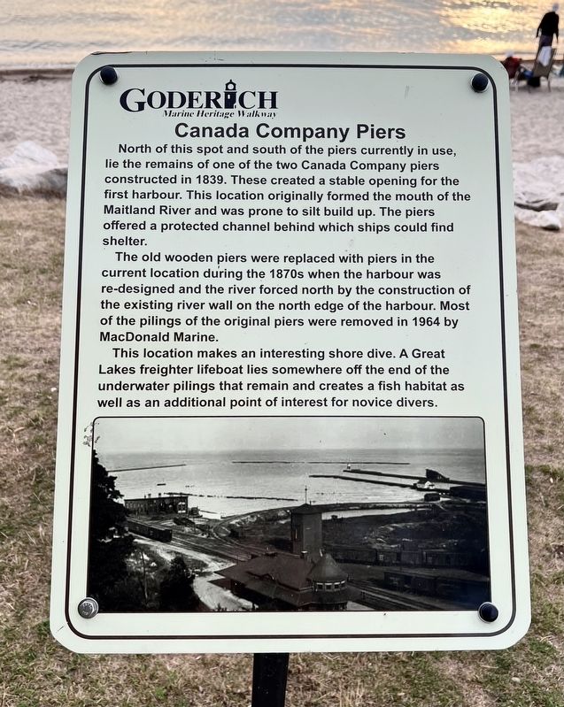
Canada Company Piers
| — | Goderich Marine Heritage Walkway | — |
Photographed by Tim Boyd, August 22, 2025
1. Canada Company Piers Marker
The old wooden piers were replaced with piers in the current location during the 1870s when the harbour was re-designed and the river forced north by the construction of the existing river wall on the north edge of the harbour. Most of the pilings of the original piers were removed in 1964 by MacDonald Marine.
This location makes an interesting shore dive. A Great Lakes freighter lifeboat lies somewhere off the end of the underwater pilings that remain and creates a fish habitat as well as an additional point of interest for novice divers.
Topics. This historical marker is listed in this topic list: Waterways & Vessels. A significant historical year for this entry is 1839.
Location. 43° 44.628′ N, 81° 43.547′ W. Marker is in Goderich, Ontario, in Huron County.
this page online

Regionally, this marker is in the Huron-Perth-Waterloo-Wellington Area and in Southwestern Ontario. It is also in Central Canada. Globally, it is in North America, on the Great Lakes, in the Western Hemisphere, in the Western World, and in the Anglosphere. Historically, it finds itself in what was once a British colony, the Viceroyalty of New France, the Haudenosaunee (Iroquois) Confederacy, and Rupert’s Land.
Other nearby markers. At least 8 other markers are within walking distance of this marker: Captains Babb’s Bathing House (a few steps from this marker); Imperial Oil Storage Tanks (about 90 meters away, measured in a direct line); Former Canadian Pacific Railway Station (about 90 meters away); The Waterworks (about 90 meters away); Canadian Pacific Railroad Roundhouse (about 120 meters away); The Goderich Elevators (about 120 meters away); The Lower Town Community (about 120 meters away); The Crab and Lee Families
Photographed by Tim Boyd, August 22, 2025
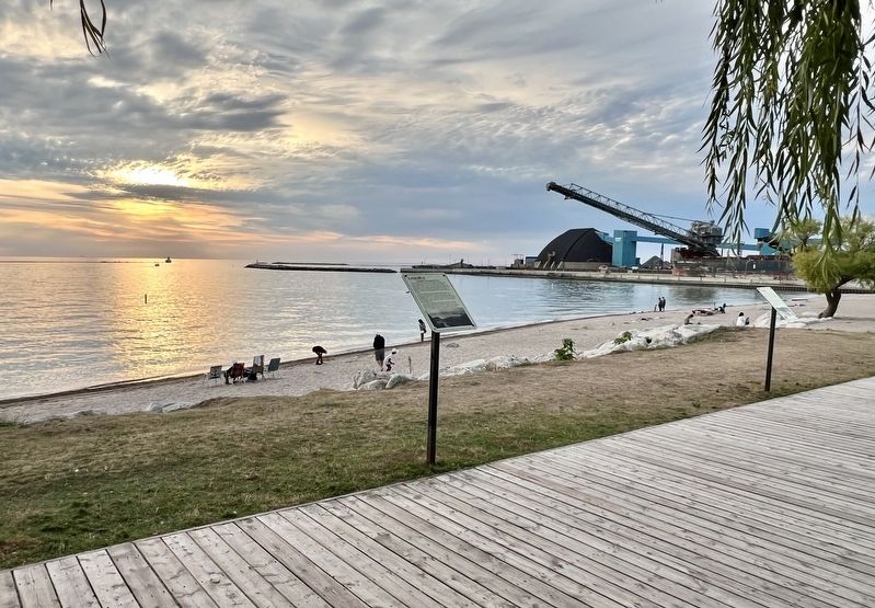
2. Canada Company Piers Marker
Photographed by Tim Boyd, August 22, 2025
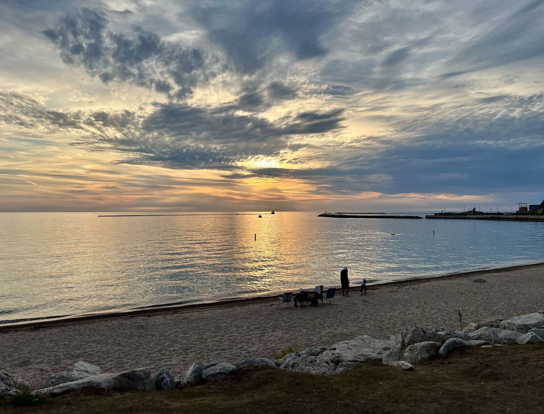
3. Goderich Harbour (including current piers) in 2025
Credits. This page was last revised on August 27, 2025. It was originally submitted on August 26, 2025, by Tim Boyd of Hamilton, Ontario. This page has been viewed 71 times since then and 18 times this year. Photos: 1, 2, 3. submitted on August 26, 2025, by Tim Boyd of Hamilton, Ontario. • Andrew Ruppenstein was the editor who published this page.
