
Three Forks in Gallatin County, Montana — The American West (Mountains)
A Trail Through History
⎯⎯⎯
When Montana's Roads Had Names
Photographed by Barry Swackhamer, July 27, 2025
1. A Trail Through History / When Montana's Roads Had Names Marker
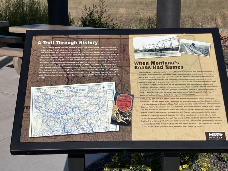
The road from Three Forks to Helena is a old one. Long before the establishment of those cities, it originated as a trail used by Montana's first citizens as they followed the bison herds and other game animals. By the time the Gallatin Valley became an important agricultural area in the 1860s, the trail was well-worn and easy to follow for the freight wagons, pack animals, and passenger coaches making there way between Bozeman, Virginia City, Helena, and Fort Benton. The dusty road echoed with the sounds of creaking leather harnesses and wagons, and the curses of the bullwhackers and muleskinners urging their animals along. To assist travelers in the headwaters area, James Sheed built bridges across the Gallatin, Madison, and Jefferson rivers. That thoroughfare joins the highway a short distance north of here as Old Town Road. The arrival of automobiles in the early twentieth century changed the character of the road. The Montana State Highway Commission designated this route US Highway 287 in 1960.
When Montana's Roads Had Names
In the early days of automobile tourism, Montana's
this page online
US Highway 287 between Three Forks and Helena originated in the 1910s as the Geysers to Glaciers Motor Trail. Dedicated by Montana governor Sam Stewart in June 1919, the Geysers at Gardiner to Glaciers Motor Trail connected the north entrance of Yellowstone National Park to the east entrance of Glacier National Park at East Glacier. The 396-mile chain of unpaved roads was marked by red, white and blue
Photographed by Barry Swackhamer, July 27, 2025
2. A Trail Through History / When Montana's Roads Had Names Marker
Erected by Montana Department of Transportation.
Topics. This historical marker is listed in this topic list: Roads & Vehicles. A significant historical month for this entry is June 1919.
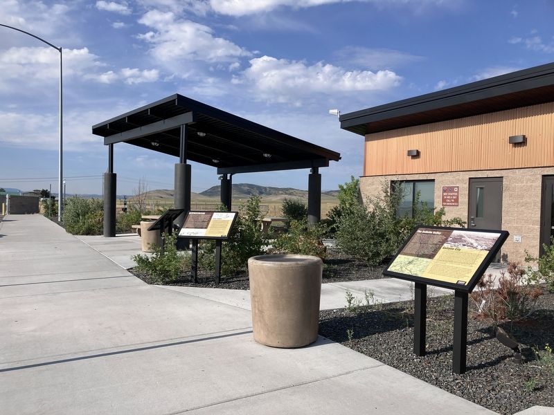
Location. 45° 55.55′ N, 111° 35.973′ W. Marker is in Three Forks, Montana, in Gallatin County. It is on U.S. 287 near Interstate 90, on the left when traveling north. There marker is located at the Three Forks Rest Area. Touch for map. Marker is at or near this postal address: 10778 U.S Highway 287, Three Forks MT 59752, United States of America. Touch for directions.

Regionally, this marker is in Yellowstone Country and in Greater Bozeman. It is also in the American Mountain West and in the Lewis & Clark Corridor. Globally, it is in North America, the Rocky Mountains, the Western Hemisphere, the Western World, and the Anglosphere. Historically, it finds itself in what was once Rupert’s Land and also the Louisiana Purchase.
Other nearby markers. At least 8 other markers are within 3 miles of this marker, measured as the crow flies: The Gallatin Valley / Gallatin City (within shouting distance of this marker); Three Forks Post / John Colter (within shouting distance of this marker); Thunder Horses (within shouting distance of this marker); George Drouillard (1773-1810) (approx. 2 miles away); Colter’s Run (approx. 3.1 miles away); Native Americans (approx. 3.1 miles away); European Interest in the Missouri (approx. 3.1 miles away); Fur Trade (approx. 3.1 miles away). Touch for a list and map of all markers in Three Forks.
Credits. This page was last revised on August 26, 2025. It was originally submitted on August 26, 2025, by Barry Swackhamer of Brentwood, California. This page has been viewed 162 times since then and 65 times this year. Photos: 1, 2. submitted on August 26, 2025, by Barry Swackhamer of Brentwood, California.
