Near Antonito in Conejos County, Colorado — The American Mountains (Southwest)
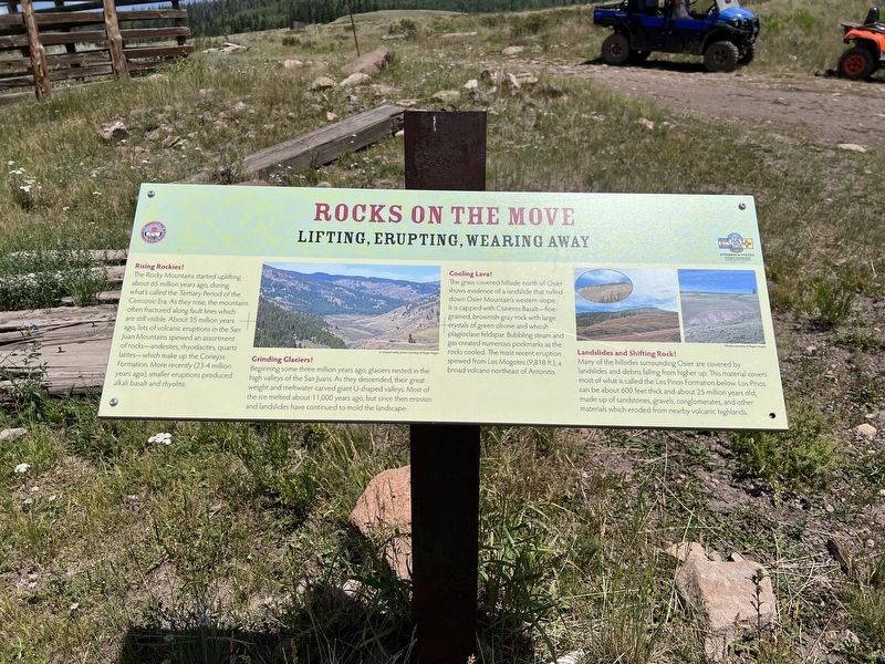
Rocks on the Move
Lifting, Erupting, Wearing Away
| — | Cumbres& Toltec Scenic Railroad National Historic Landmark | — |
Photographed by Sandra Hughes Tidwell, August 7, 2025
1. Rocks on the Move Marker
Rising Rockies!
The Rocky Mountains started uplifting about 65 million years ago, during what's called the Tertiary Period of the Cenozoic Era. As they rose, the mountains often fractured along fault lines, which are still visible. About 35 million years ago, lots of volcanic eruptions in the San Juan Mountains spewed an assortment of rock - andesites, rhyodacites, quartzlatites, which make up the Conejos Formation. More recently (23-4 million years ago), smaller eruptions produced alkali basalt and rhyolite.
Grinding Glaciers!
Beginning some three million years ago, glaciers nested in the high valleys of the San Jauns. As they descended, their great weight and meltwater carved giant U-shaped valleys. Most of the ice melted about 11,000 years ago, but since then, erosion and landslides have continued to mold the landscape.
Cooling Lava! The grass-covered hillside north of Osier shows evidence of a landside that rolled down Osier Mountain's western slope. It is capped with Cisnero Basalt, a fine-grained, brownish-gray rock featuring large crystals of green olivine and whitish plagioclase feldspar. Bubbling stream
this page online
Landside and Shifting Rock!
Many of the hillsides surrounding Osier are covered by landslides and debris falling from higher up. This material covers most of what is called the Los Pinos Formation below. Los Pinos can be about 600 feet thick and about 25 million years old, made up of sandstones, gravels, conglomerates, and other materials which eroded from nearby volcanic highlands.
Topics. This historical marker is listed in this topic list: Natural Features.
Location. 37° 0.747′ N, 106° 20.137′ W. Marker is near Antonito, Colorado, in Conejos County. It is on Fdr 103. Touch for map. Marker is at or near this postal address: 1400 Fdr 103, Antonito CO 81120, United States of America. Touch for directions.

Regionally, this marker is in the San Juan Mountains and in the San Luis Valley. It is also in the American Mountain West. Globally, it is in North America, the Rocky Mountains, the Western Hemisphere, the Western
Photographed by Sandra Hughes Tidwell, August 7, 2025
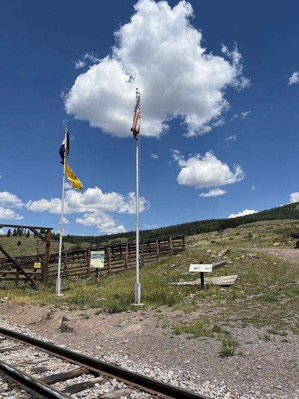
2. Rocks on the Move Marker & Livestock Loading Pens Marker
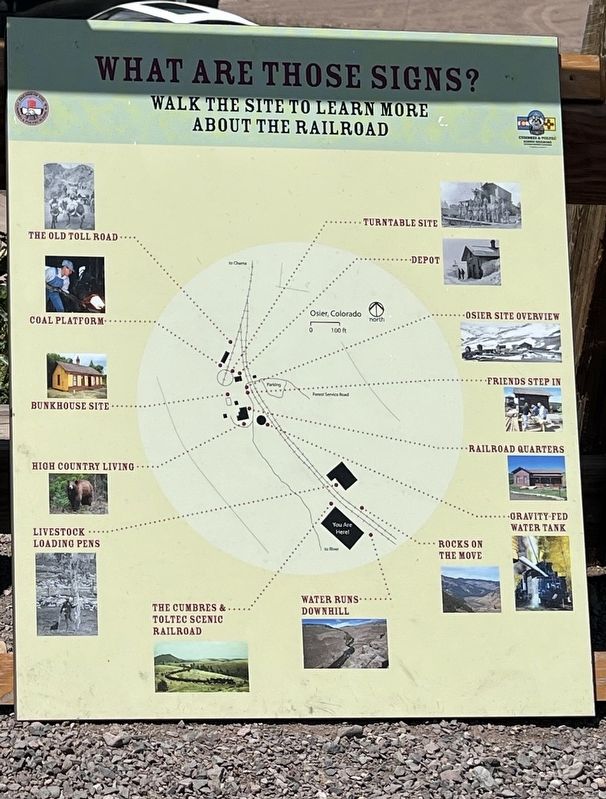
Other nearby markers. At least 8 other markers are within walking distance of this marker: Livestock Loading Pens (here, next to this marker); Hospitality (a few steps from this marker); Gravity Fed Water Tank (about 400 feet away, measured in a direct line); Railroad Quarters (about 400 feet away); Osier, Colorado (about 500 feet away); Bunkhouse Site (about 500 feet away); Turntable Site (about 500 feet away); Depot (about 500 feet away). Touch for a list and map of all markers in Antonito.
Additional commentary.
1. https://www.uncovercolorado.com/activities/san-juan-mountain-range/
San Juan Mountain Range – Southwest Colorado
The San Juan Mountain Range covers the southern part of the Colorado Rockies. Home to numerous jagged volcanic peaks, aquamarine-colored alpine lakes, mineralized rocks, and waterfalls, this particular range is home to some of the most diverse and beautiful terrain in the country.
— Submitted August 27, 2025, by Sandra Hughes Tidwell of Killen, Alabama, USA.
Photographed by Sandra Hughes Tidwell, August 7, 2025
3. Rocks on the Move Marker
Credits. This page was last revised on August 28, 2025. It was originally submitted on August 27, 2025, by Sandra Hughes Tidwell of Killen, Alabama, USA. This page has been viewed 89 times since then and 23 times this year. Photos: 1, 2, 3. submitted on August 27, 2025, by Sandra Hughes Tidwell of Killen, Alabama, USA. • Andrew Ruppenstein was the editor who published this page.
