Fox Creek in Conejos County, Colorado — The American Mountains (Southwest)
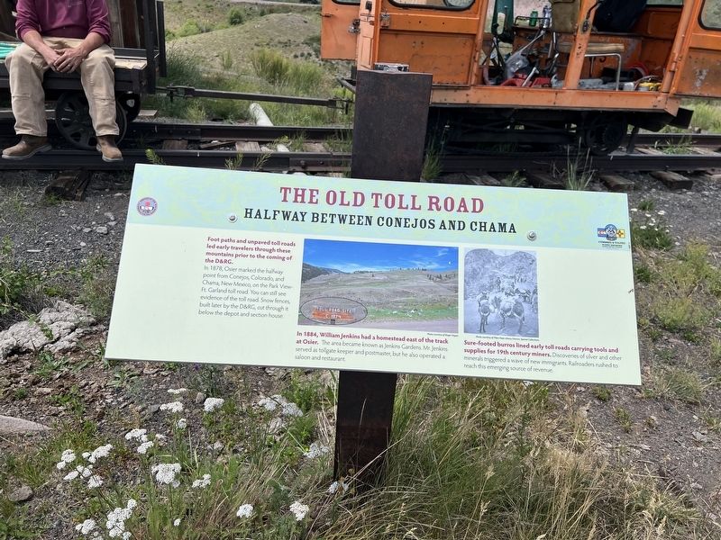
The Old Toll Road
Halfway Between Conejos and Chama
Photographed by Sandra Hughes Tidwell, August 7, 2025
1. The Old Toll Road Marker
Foot paths and unpaved toll roads led early travelers through these mountains prior to the coming of D&RG.
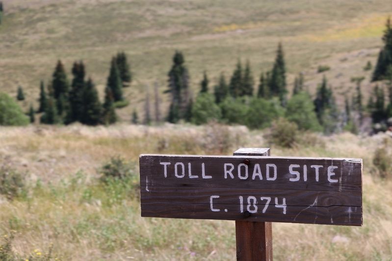
In 1878, Osier marked the halfway point from Conejos, Colorado, and Chama, New Mexico, on the Park View-Ft Garland toll road. You can still see evidence of the toll road. Snow fences, built later by the D&RG, cut through it below the depot and section house.
In 1884, William Jenkins had a homestead east of the track at Osier. The area became known as Jenkins Gardens. Mr. Jenkins served as tollgate keeper and postmaster, but he also operated a saloon and restaurant.
Sure-footed burros lined early toll roads carrying tools and supplies for 19th-century miners. Discoveries of silver and other minerals triggered a wave of new immigrants. Railroaders rushed to reach this emerging source of revenue.
Topics. This historical marker is listed in these topic lists: Railroads & Streetcars • Roads & Vehicles. A significant historical year for this entry is 1878.
Location. 37° 0.84′ N, 106° 20.161′ W. Marker is in Fox Creek, Colorado, in Conejos County. It is on Fdr 103. Touch for map. Marker is at or near this
this page online

Regionally, this marker is in the San Juan Mountains and in the San Luis Valley. It is also in the American Mountain West. Globally, it is in North America, the Rocky Mountains, the Western Hemisphere, the Western World, and the Anglosphere. Historically, it finds itself in what was once New Spain and also the Republic of Texas.
Other nearby markers. At least 8 other markers are within walking distance of this marker: Coal Platform (a few steps from this marker); Depot (a few steps from this marker); Turntable Site (within shouting distance of this marker); Osier, Colorado (within shouting distance of this marker); Bunkhouse Site (within shouting distance of this marker); Gravity Fed Water Tank (within shouting distance of this marker); Railroad Quarters (within shouting distance of this marker); Livestock Loading Pens (about 600 feet away, measured in a direct line). Touch for a list and map of all markers in Fox Creek.
Photographed by Sandra Hughes Tidwell, August 7, 2025
2. The Old Toll Road Marker
Credits. This page was last revised on August 28, 2025. It was originally submitted on August 27, 2025, by Sandra Hughes Tidwell of Killen, Alabama, USA. This page has been viewed 131 times since then and 44 times this year. Photos: 1, 2. submitted on August 27, 2025, by Sandra Hughes Tidwell of Killen, Alabama, USA. • Andrew Ruppenstein was the editor who published this page.
