Cambridge in Waterloo Region, Ontario — Central Canada (North America)
The Pioneer Pergola
Photographed by Tim Boyd, August 27, 2025
1. The Pioneer Pergola Marker
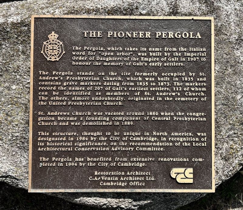
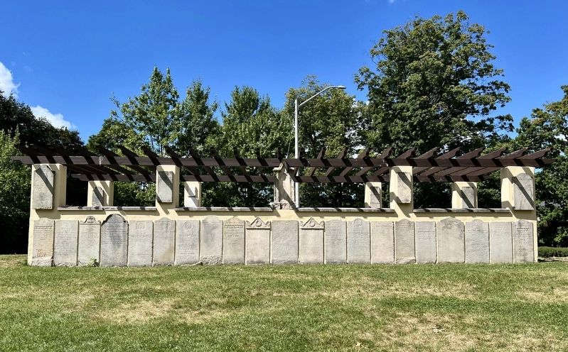
The Pergola stands on the site formerly occupied by St. Andrew's Presbyterian Church, which was built in 1835 and contains grave markers dating from 1835 to 1873. The markers record the names of 207 of Galt's earliest settlers, 112 of whom can be identified as members of St. Andrew's Church. The others, almost undoubtedly, originated in the cemetery of the United Presbyterian Church.
St. Andrews Church was vacated around 1880 when the congregation became a founding component of Central Presbyterian Church and was demolished in 1889.
This structure, thought to be unique in North America, was designated in 1984 by the City of Cambridge, in recognition of its historical significance, on the recommendation of the Local Architectural Conservation Advisory Committee.
The Pergola has benefited from extensive renovations completed in 1994 by the City of Cambridge.
Restoration Architect
C.A. Ventin Architect Ltd.
Cambridge
this page online
Topics. This historical marker is listed in these topic lists: Cemeteries & Burial Sites • Religion & Religious Structures • Settlements & Settlers. A significant historical year for this entry is 1907.
Location. 43° 21.375′ N, 80° 19.254′ W. Marker is in Cambridge, Ontario, in Waterloo Region. It is on St. Andrew Street 0.1 kilometers west of George Street South, on the right when traveling west. The marker is in St. Andrew’s Park. Touch for map. Marker is at or near this postal address: 30 Byng Avenue, Cambridge ON N1S 1M4, Canada. Touch for directions.

Regionally, this marker is in the Huron-Perth-Waterloo-Wellington Area and in Southwestern Ontario. It is also in Central Canada. Globally, it is in North America, the Western Hemisphere, the Western World, and the Anglosphere. Historically, it finds itself in what was once a British colony, the Viceroyalty of New France, the Haudenosaunee (Iroquois) Confederacy, and Rupert’s Land.
Other nearby markers. At least 8 other markers are within walking distance of this marker: Site of St. Andrews Presbyterian Church (here, next to this marker); McDougall Cottage Historic Site
Photographed by Tim Boyd, August 27, 2025
2. The Pioneer Pergola Marker
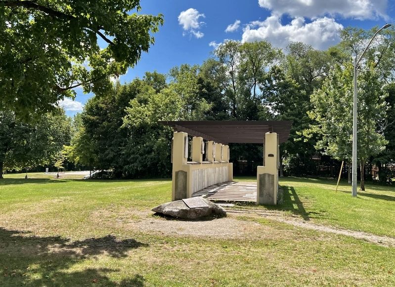
The marker is affixed to the stone in front of the pergola
Photographed by Tim Boyd, August 27, 2025
3. The Pioneer Pergola
Photographed by Tim Boyd, August 27, 2025
4. The Pioneer Pergola Marker
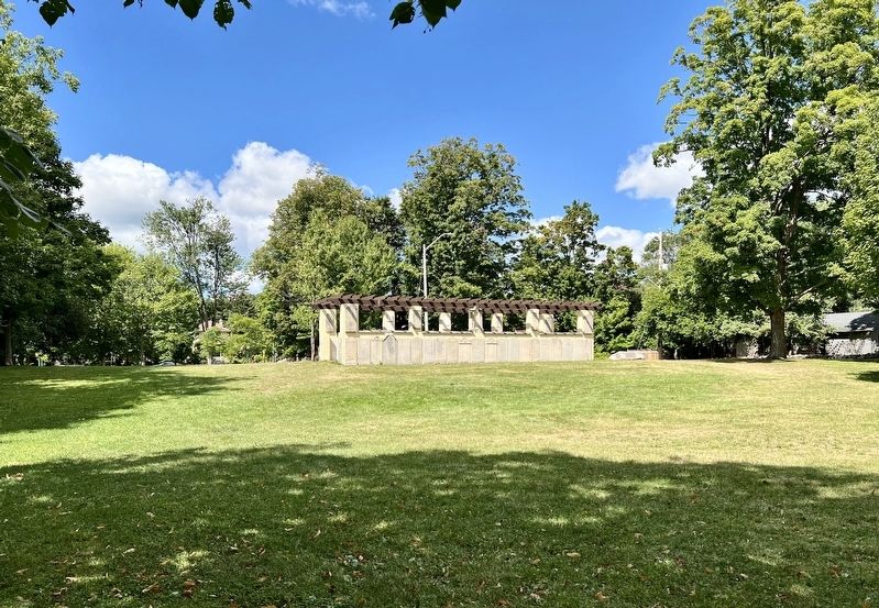
From St. Andrew’s Street
Credits. This page was last revised on August 28, 2025. It was originally submitted on August 28, 2025, by Tim Boyd of Hamilton, Ontario. This page has been viewed 74 times since then and 11 times this year. Photos: 1, 2, 3, 4. submitted on August 28, 2025, by Tim Boyd of Hamilton, Ontario. • Andrew Ruppenstein was the editor who published this page.
