Mille Lacs Kathio State Park near Onamia in Mille Lacs County, Minnesota — The American Midwest (Upper Plains)
The Forest through Time
Kathio Landmark Trail
| — | Kathio National Historic Landmark District | — |
Photographed by McGhiever, May 29, 2025
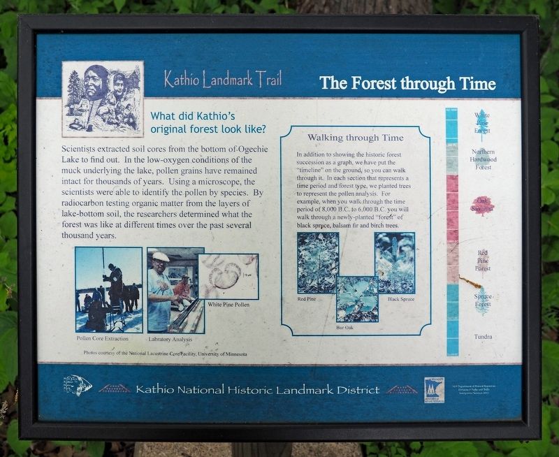
1. The Forest through Time Marker
What did Kathio's original forest look like?
Scientists extracted soil cores from the bottom of Ogechie Lake to find out. In the low-oxygen conditions of the muck underlying the lake, pollen grains have remained intact for thousands of years. Using a microscope, the scientists were able to identify the pollen by species. By radiocarbon testing organic matter from the layers of lake-bottom soil, the researchers determined what the forest was like at different times over the past several thousand years.
Pollen Core Extraction • Labratory [sic] Analysis • White Pine Pollen
Walking through Time
In addition to showing the historic forest succession as a graph, we have put the "timeline" on the ground, so you can walk through it. In each section that represents a time period and forest type, we planted trees to represent the pollen analysis. For example, when you walk through the time period of 8,000 B.C. to 6,000 B.C. you will walk through a newly-planted "forest" of black spruce, balsam fir and birch trees.
Red Pine • Bur Oak • Black Spruce
White Pine Forest
Northern Hardwood Forest
Oak Savanna
Red Pine
this page online
Spruce Forest
Tundra
Erected 2013 by Minnesota Department of Natural Resources.
Topics. This historical marker is listed in this topic list: Environment.
Location. 46° 8.933′ N, 93° 46.092′ W. Marker is near Onamia, Minnesota, in Mille Lacs County. It is in Mille Lacs Kathio State Park. It can be reached from no nearby street. The marker is on the east loop of the Kathio Landmark Trail. Touch for map. Marker is in this post office area: Onamia MN 56359, United States of America. Touch for directions.

Regionally, this marker is in Central Minnesota. It is also in the American Midwest and in the Corn Belt. Globally, it is in North America, the Western Hemisphere, the Western World, and the Anglosphere. Historically, it finds itself in what was once Rupert’s Land, the territory of the Mississippian Culture, and the Northwest Territory.
Other nearby markers. At least 8 other markers are within walking distance of this marker: Removal, Restoration, Reuse (a few steps from this marker); The Ice Age (a few steps from this marker); Spruce Forest (within shouting
Photographed by McGhiever, May 29, 2025
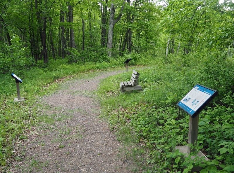
2. The Forest through Time Marker (right) on the Kathio Landmark Trail
Credits. This page was last revised on August 28, 2025. It was originally submitted on August 28, 2025, by McGhiever of Minneapolis, Minnesota. This page has been viewed 91 times since then and 20 times this year. Photos: 1, 2. submitted on August 28, 2025, by McGhiever of Minneapolis, Minnesota.
