
Near Niagara Falls in Niagara Region, Ontario — Central Canada (North America)
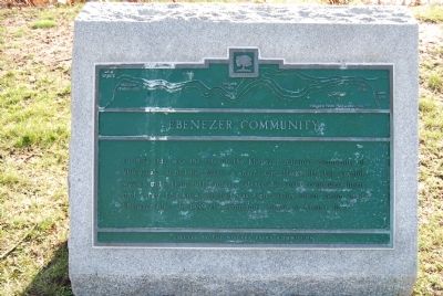
Ebenezer Community
Photographed by Mike Wintermantel, April 21, 2013
1. Ebenezer Community Marker
Erected by Niagara Parks Commission.
Topics. This historical marker is listed in these topic lists: Agriculture • Industry & Commerce • Settlements & Settlers. A significant historical year for this entry is 1852.
Location. 42° 59.814′ N, 79° 1.655′ W. Marker is near Niagara Falls, Ontario, in Niagara Region. It is on Niagara Parkway just south of Sherk Road, on the right when traveling north. Touch for map. Marker is at or near this postal address: 12575 Niagara Parkway, Niagara Falls ON L2E 6S6, Canada. Touch for directions.

Regionally, this marker is on Ontario’s Golden Horseshoe and in Niagara Canada. It is also in Central Canada. Globally, it is in North America, on the Great Lakes, in the Western Hemisphere, in the Western World, and in the Anglosphere.
this page online
Other nearby markers. At least 8 other markers are within 6 kilometers of this marker, measured as the crow flies: Strickler-Danner House circa 1805 (about 210 meters away, measured in a direct line); Location of the Ebenezer Settlement 1848 1858 (approx. 1.6 kilometers away); Conestoga Wagon Trek (approx. 1.7 kilometers away); Disaster at Eagle Park (approx. 2.2 kilometers away in the U.S.); Willoughby Church Cemetery (approx. 3.5 kilometers away); a different marker also named Willoughby Church Cemetery (approx. 3.5 kilometers away); Navy Island / Île Navy (approx. 5.3 kilometers away); Gonder's Flats (approx. 5.4 kilometers away). Touch for a list and map of all markers in Niagara Falls.
Photographed by Mike Wintermantel, April 21, 2013
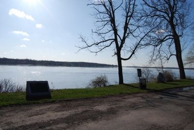
2. Ebenezer Community Marker
Photographed by Mike Wintermantel, April 21, 2013
3. Ebenezer Community Marker
Photographed by Mike Wintermantel, April 21, 2013
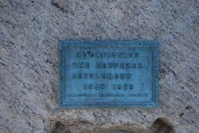
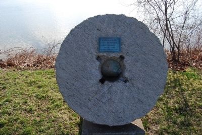
4. Location of the Ebenezer Settlement marker
Credits. This page was last revised on October 24, 2025. It was originally submitted on April 21, 2013, by Mike Wintermantel of Pittsburgh, Pennsylvania. This page has been viewed 1,009 times since then and 36 times this year. Last updated on August 29, 2025, by Kevin Westell of St. Catharines, Ontario. Photos: 1, 2, 3, 4. submitted on April 21, 2013, by Mike Wintermantel of Pittsburgh, Pennsylvania. • Devry Becker Jones was the editor who published this page.
