Cambridge in Waterloo Region, Ontario — Central Canada (North America)
Jacob’s Landing and Hespeler Mill Pond
Photographed by Tim Boyd, August 27, 2025
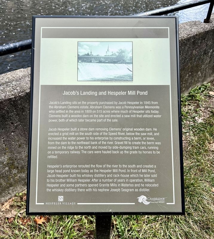
1. Jacob’s Landing and Hespeler Mill Pond Marker
Jacob's Landing sits on the property purchased by Jacob Hespeler in 1845 from the Abraham Clemens estate. Abraham Clemens was a Pennsylvanian Mennonite who settled in the area in 1809 on 515 acres where much of Hespeler sits today. Clemens built a wooden dam on the site and erected a saw mill that utilized water power, both of which later became part of the sale.
Jacob Hespeler built a stone dam removing Clemens' original wooden dam. He erected a grist mill on the south side of the Speed River, below the saw mill, and increased the water power to his enterprise by constructing a berm, or levee, from the dam to the northeast bank of the river. Gravel fill to create the berm was mined on the ridge to the north and moved by side-dumping tram cars, running on a temporary railway. The cars were hauled back up the grade by horses to be refilled.
Hespeler's enterprise rerouted the flow of the river to the south and created a large head pond known today as the Hespeler Mill Pond. In front of Mill Pond, Jacob Hespeler built his whiskey distillery and rack-house which he later sold to his brother William Hespeler. After
this page online
Topics. This historical marker is listed in these topic lists: Industry & Commerce • Settlements & Settlers • Waterways & Vessels. A significant historical year for this entry is 1845.
Location. 43° 25.978′ N, 80° 18.649′ W. Marker is in Cambridge, Ontario, in Waterloo Region. It can be reached from Guelph Avenue, on the right when traveling north. The marker is accessible by foot in Jacob’s Landing Park, by the river approx. 50 metres from Guelph Avenue. Touch for map. Marker is at or near this postal address: 49 Guelph Avenue, Cambridge ON N3C 1A2, Canada. Touch for directions.

Regionally, this marker is in the Huron-Perth-Waterloo-Wellington Area and in Southwestern Ontario. It is also in Central Canada. Globally, it is in North America, the Western Hemisphere, the Western World, and the Anglosphere. Historically, it finds itself in what was once a British colony, the Viceroyalty of New France, the Haudenosaunee (Iroquois)
Photographed by Tim Boyd, August 27, 2025
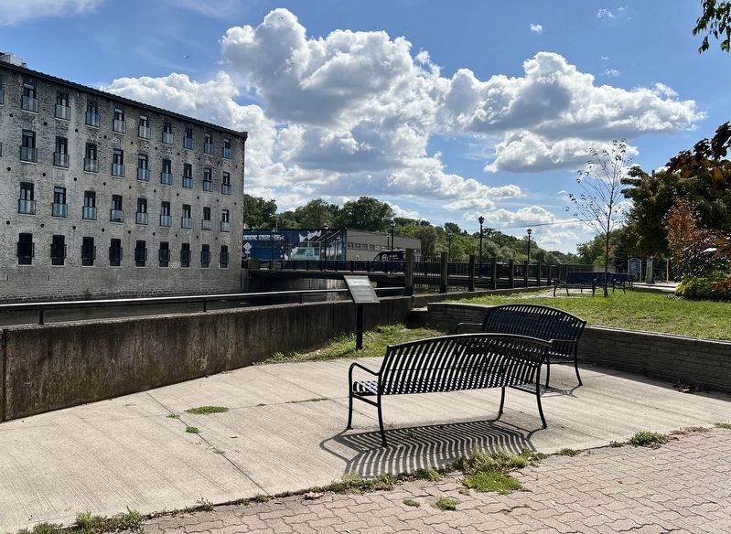
2. Jacob’s Landing and Hespeler Mill Pond Marker
Facing toward Guelph Avenue
Other nearby markers. At least 8 other markers are within 6 kilometers of this marker, measured as the crow flies: History of the Riverbank (about 120 meters away, measured in a direct line); Tannery Street/ Forbes Park Area (about 180 meters away); Hespeler Cenotaph (about 210 meters away); First Mennonite Sunday School (approx. 2 kilometers away); Black Bridge Road Bridge (approx. 2.2 kilometers away); Site of the Samuel Bechtel Meeting House and Burial Ground (approx. 2.3 kilometers away); Waterloo Township Community Meeting House School and Burial Ground (approx. 2.3 kilometers away); The Settlement of Puslinch (approx. 5.2 kilometers away). Touch for a list and map of all markers in Cambridge.
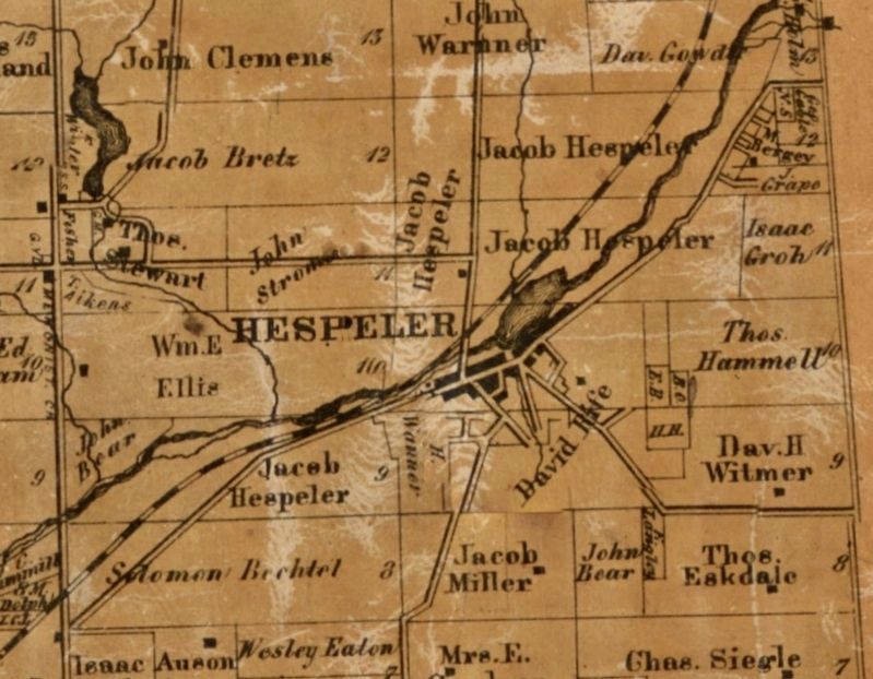
3. Hespeler in 1861, showing Jacob Hespeler’s properties
University of Toronto
Photographed by Tim Boyd, August 27, 2025
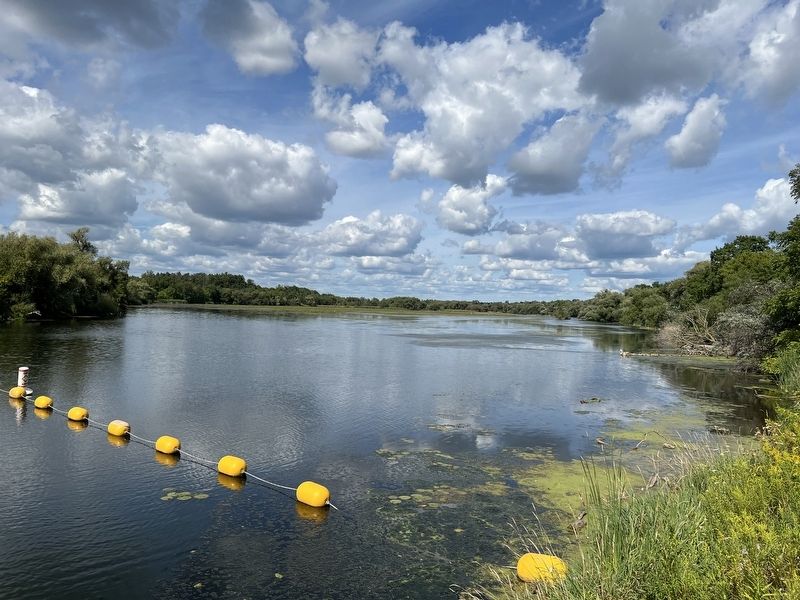
4. Hespeler Mill Pond in 2025
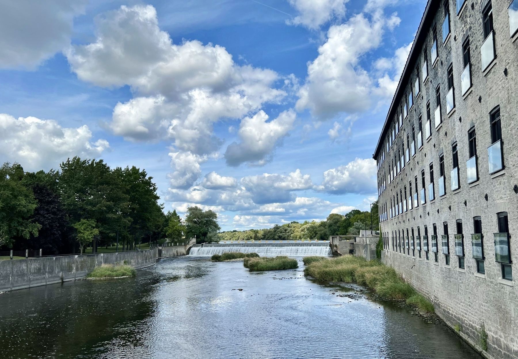
Photographed by Tim Boyd, August 27, 2025
5. Speed River and dam, looking towards the Hespeler Mill Pond
Credits. This page was last revised on September 8, 2025. It was originally submitted on August 29, 2025, by Tim Boyd of Hamilton, Ontario. This page has been viewed 106 times since then and 51 times this year. Photos: 1, 2, 3, 4, 5. submitted on August 29, 2025, by Tim Boyd of Hamilton, Ontario. • Andrew Ruppenstein was the editor who published this page.
