Jefferson City in Jefferson County, Tennessee — The American South (East South Central)
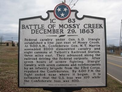
Battle of Mossy Creek
December 29, 1863
Erected by Tennessee Historical Commission. (Marker Number 1C83.)
Topics and series. This historical marker is listed in this topic list: War, US Civil. In addition, it is included in the Tennessee Historical Commission series list. A significant historical year for this entry is 2000.
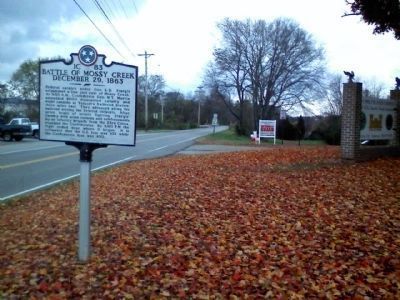
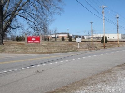
Location. 36° 7.885′ N, 83° 28.889′ W. Marker is in Jefferson City, Tennessee, in Jefferson County. Marker is on East Old Andrew Johnson Highway, 0.1 miles south of Municipal Drive, on the right when traveling south. Located across the street from Johnson Ball Park. Touch for map. Marker is at or near this postal address: 270 East Old Andrew Johnson Highway, Jefferson City TN 37760, United States of America. Touch for directions.
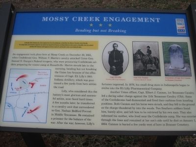
Other nearby markers. At least 8 other markers are within walking distance of this marker. Mossy Creek Engagement (here, next to this marker); Old Mossy Creek Mill (approx. 0.6 miles away); Godwin Brothers Building (approx. 0.6 miles away); Godwin Brothers Storefront (approx. 0.6 miles away); Mossy Creek Bank (approx. 0.6 miles away); Mossy Creek / Jefferson City Train Depot (approx. 0.6 miles away); Interior Mossy Creek Bank (approx. 0.6 miles away); First National Bank (approx. 0.6 miles away). Touch for a list and map of all markers in Jefferson City.

Photographed By Tom Bosse, February 27, 2010
4. Mossy Creek Engagement
See Other nearby markers section for this adjacent marker, or
Click for more information.
Click for more information.
Credits. This page was last revised on June 16, 2016. It was originally submitted on March 7, 2010, by Tom Bosse of Jefferson City, Tennessee. This page has been viewed 2,626 times since then and 47 times this year. Photos: 1. submitted on March 7, 2010, by Tom Bosse of Jefferson City, Tennessee. 2. submitted on July 22, 2015, by Brandon Fletcher of Chattanooga, Tennessee. 3, 4. submitted on March 7, 2010, by Tom Bosse of Jefferson City, Tennessee. • Craig Swain was the editor who published this page.


