Summerville in Dorchester County, South Carolina — The American South (South Atlantic)
The Old Town Hall
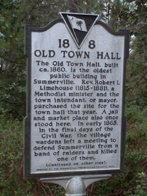
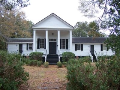
The Old Town Hall, built ca. 1860, is the oldest public building in Summerville. Rev. Robert I. Limehouse (1815-1881), a Methodist minister and the town intendant, or mayor, purchased the site for the town hall that year. A jail and market place also once stood here. In early 1865, in the final days of the Civil War, the village wardens left a meeting to defend Summerville from a band of raiders and killed one of them.
(Reverse text)
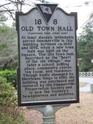
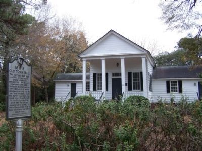
At least sixteen intendants served Summerville in this building between ca. 1860 and 1892, when a new town hall was built on the Square. The Old Town Hall, described as the "heart of the old village," was later a school, polling place, community center, tea room, and residence. Though badly damaged by Hurricane Hugo in 1989, the building was purchased and restored by the Summerville Preservation Society and is now the Society's headquarters and archives.
Erected 2000 by The Summerville Preservation Society. (Marker Number 18-8.)
Topics. This historical marker is listed in these topic lists: Government & Politics • War, US Civil. A significant historical year for this entry is 1860.
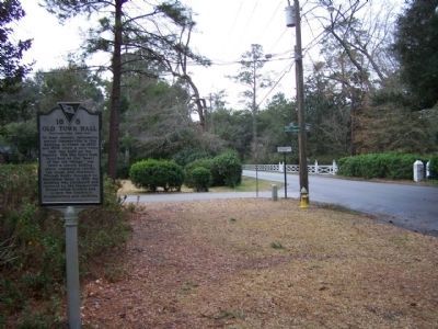
Location. 33° 0.675′ N, 80° 11.267′ W. Marker is in Summerville, South Carolina, in Dorchester County. Marker is on West Carolina Avenue near Congress Street, on the right when traveling north. Touch for map. Marker is in this post office area: Summerville SC 29483, United States of America. Touch for directions.
Other nearby markers. At least 8 other markers are within walking distance of this marker. Pine Forest Inn (approx. ¼ mile away); Summerville High School / Coach John McKissick (1926-2019) (approx. 0.4 miles away); Coach John McKissick and his wife, Joan (approx. 0.4 miles away); Summerville Memorial Stadium (approx. 0.4 miles away); Timrod Library (approx. 0.6 miles away); a different marker also named Timrod Library (approx. 0.7 miles away); Pinehurst Tea Farm (approx. 0.7 miles away); The Axtell Dam at Sawmill Branch (approx. 0.7 miles away). Touch for a list and map of all markers in Summerville.
Credits. This page was last revised on June 16, 2016. It was originally submitted on March 8, 2010, by Mike Stroud of Bluffton, South Carolina. This page has been viewed 1,219 times since then and 44 times this year. Photos: 1, 2, 3, 4, 5. submitted on March 8, 2010, by Mike Stroud of Bluffton, South Carolina. • Craig Swain was the editor who published this page.
