Ironton in Lawrence County, Ohio — The American Midwest (Great Lakes)
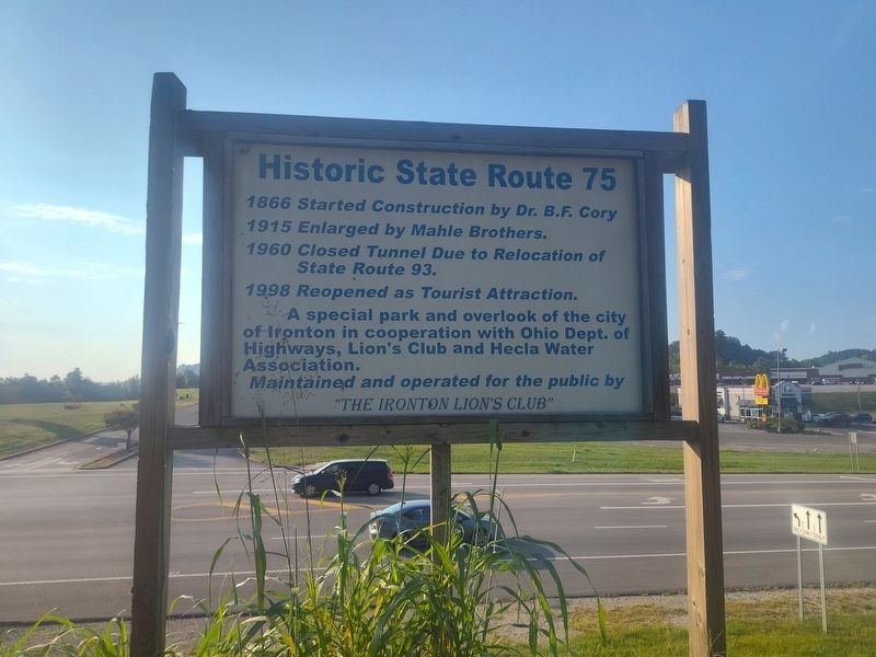
Historic State Route 75
Photographed by Craig Doda, August 16, 2025
1. Historic State Route 75 Marker
1866 Started Construction by Dr. B.F. Cory
1915 Enlarged by Mahle Brothers.
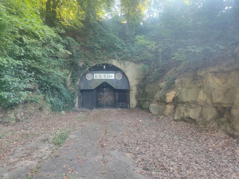
1960 Closed Tunnel Due to Relocation of State Route 93.
1998 Reopened as Tourist Attraction.
A special park and overlook of the city of Ironton in cooperation with Ohio Dept. of Highways, Lion's Club and Hecla Water Association.
Maintained and operated for the public by "The Ironton Lion's Club"
Erected by The Ironton Lion's Club.
Topics. This historical marker is listed in this topic list: Roads & Vehicles. A significant historical year for this entry is 1866.
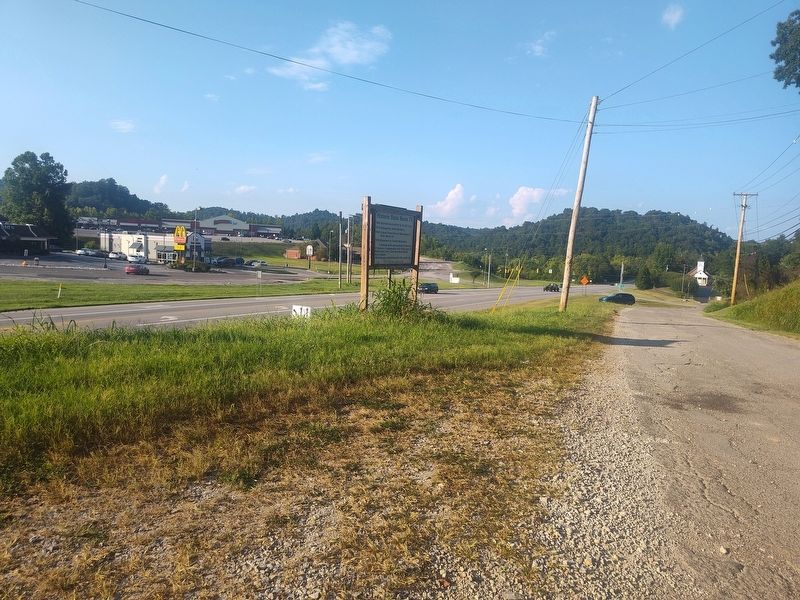
Location. 38° 32.401′ N, 82° 40.481′ W. Marker is in Ironton, Ohio, in Lawrence County. It is at the intersection of Ironton Hills Drive and Nixon Hill Road, on the right when traveling west on Ironton Hills Drive. Touch for map. Marker is at or near this postal address: 1009 Ironton Hills Drive, Ironton OH 45638, United States of America. Touch for directions.

Regionally, this marker is in the Kyova Tri-State Region. It is also in the American Midwest, in the Ohio River Valley, in Appalachia, and specifically in Northern Appalachia. Globally, it is in North America, the
this page online
Other nearby markers. At least 8 other markers are within walking distance of this marker: World War II Memorial (about 700 feet away, measured in a direct line); Commerce on the Big River (approx. ¼ mile away); Tourism Along the Byway (approx. ¼ mile away); Did You Know? (approx. ¼ mile away); John Campbell (approx. ¼ mile away); There is Much to See on the Ohio River Scenic Byway (approx. ¼ mile away); Hanging Rock Iron Furnace Region (approx. ¼ mile away); Getting Products to Market (approx. ¼ mile away). Touch for a list and map of all markers in Ironton.
Photographed by Craig Doda, August 16, 2025
2. Historic State Route 75 Marker
Photographed by Craig Doda, August 16, 2025
3. Historic State Route 75 Marker

Photographed by Craig Doda, August 16, 2025
4. Historic State Route 75 Marker
Credits. This page was last revised on September 6, 2025. It was originally submitted on September 3, 2025, by Craig Doda of Napoleon, Ohio. This page has been viewed 107 times since then and 31 times this year. Photos: 1, 2, 3, 4. submitted on September 3, 2025, by Craig Doda of Napoleon, Ohio. • Andrew Ruppenstein was the editor who published this page.
