Vandalia in Fayette County, Illinois — The American Midwest (Great Lakes)
Lincoln Trail
Photographed by Jason Voigt, August 30, 2025
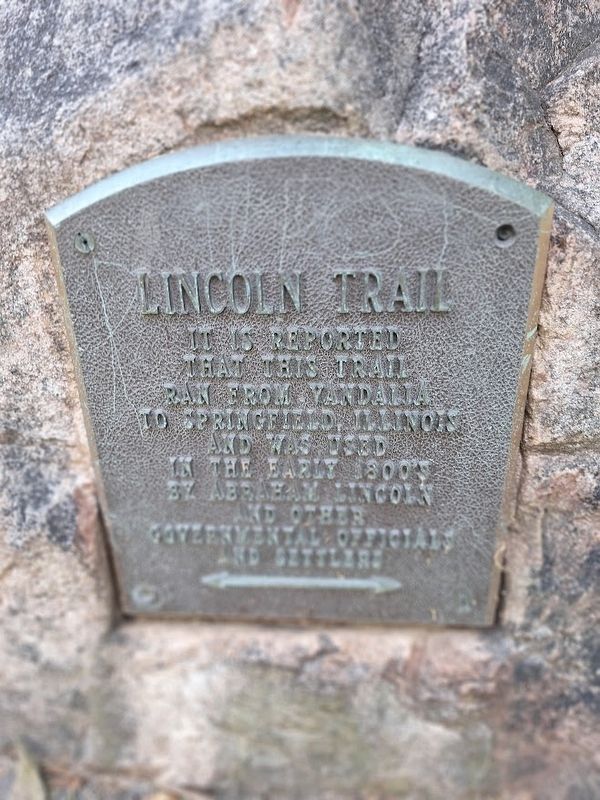
1. Lincoln Trail Marker
It is reported that this trail ran from Vandalia to Springfield, Illinois and was used in the early 1800's by Abraham Lincoln and other governmental officials and settlers
Topics. This historical marker is listed in this topic list: Roads & Vehicles.
Location. 38° 58.292′ N, 89° 6.202′ W. Marker is in Vandalia, Illinois, in Fayette County. It can be reached from West Fillmore Street east of Railroad Drive. Marker is located at Rogier Park. Touch for map. Marker is at or near this postal address: 911 Meyers Ln, Vandalia IL 62471, United States of America. Touch for directions.

Regionally, this marker is in Central Illinois. It is also in the American Midwest and in the Corn Belt. Globally, it is in North America, the Western Hemisphere, the Western World, and the Anglosphere. Historically, it finds itself in what was once the territory of the Mississippian Culture and also the Northwest Territory.
Other nearby markers. At least 8 other markers are within walking distance of this marker: Lincoln Travels To The Capital (a few steps from this marker); Welcome to the National Road Interpretive Center
this page online
Photographed by Jason Voigt, August 30, 2025
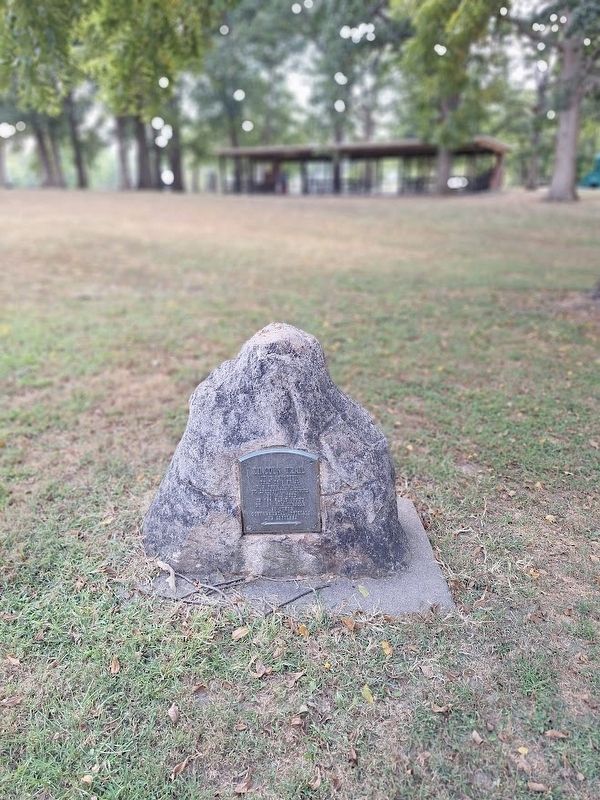
2. Lincoln Trail Marker
Marker is located at Rogier Park.
Credits. This page was last revised on September 3, 2025. It was originally submitted on September 3, 2025, by Jason Voigt of Glen Carbon, Illinois. This page has been viewed 101 times since then and 24 times this year. Photos: 1, 2. submitted on September 3, 2025, by Jason Voigt of Glen Carbon, Illinois.
