Anoka in Anoka County, Minnesota — The American Midwest (Upper Plains)
History of Oakwood Cemetery
Photographed by McGhiever, June 30, 2024
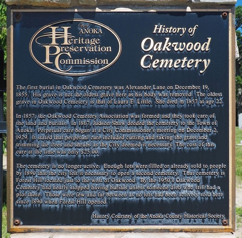
1. History of Oakwood Cemetery Marker
The first burial in Oakwood Cemetery was Alexander Lane on December 19, 1855. His grave is not the oldest grave here as his body was removed. The oldest grave in Oakwood Cemetery is that of Laura E. Little. She died in 1857 at age 22.
In 1857, the Oakwood Cemetery Association was formed and they took care of the land and burials. In 1867, Judson Shaw deeded the cemetery to the Town of Anoka. Perpetual care began at a City Commissioner's meeting on December 2, 1929. It stated that perpetual care included cutting and raking the grass and trimming the trees and shrubs as the City deemed it necessary. The cost of this care at the time was only $25.00.
The cemetery is no longer active. Enough lots were filled or already sold to people by 1890 that the city felt it necessary to open a second cemetery. That cemetery is Forest Hill located just to the west of Oakwood. By the 1950's Oakwood Cemetery had nearly stopped having burials unless someone died who still had a plot there. Those were few and far between as no lots had been actively sold here since 1890 when Forest Hill opened.
this page online
Topics. This historical marker is listed in this topic list: Cemeteries & Burial Sites. A significant historical date for this entry is December 19, 1855.
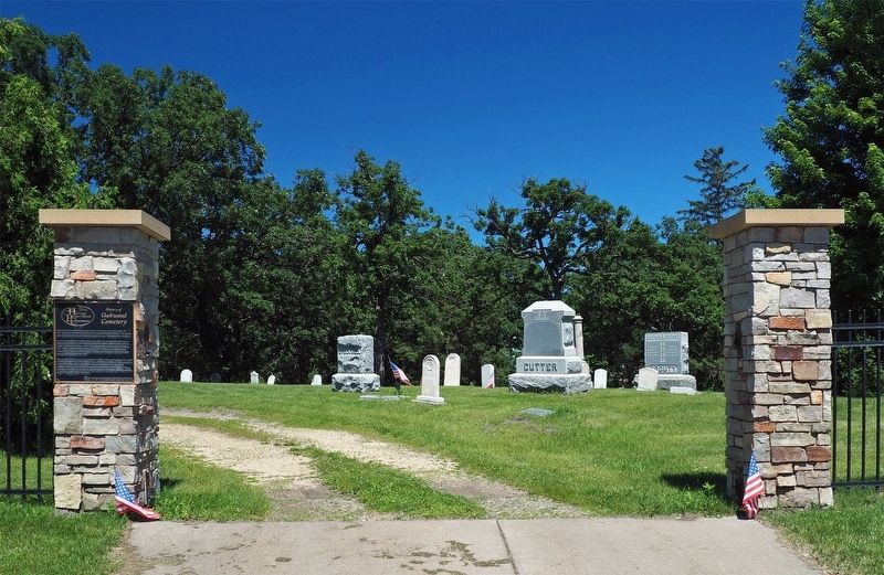
Location. 45° 12.215′ N, 93° 23.924′ W. Marker is in Anoka, Minnesota, in Anoka County. It is at the intersection of W. Main Street and Green Avenue, on the right when traveling west on W. Main Street. The marker is on the west pillar at the cemetery entrance. Touch for map. Marker is at or near this postal address: 500 W Main Street, Anoka MN 55303, United States of America. Touch for directions.

Regionally, this marker is in the Twin Cities Metropolitan Area. It is also in the American Midwest, in the Corn Belt, and in the Great River Road Region. Globally, it is in North America, the Western Hemisphere, the Western World, and the Anglosphere. Historically, it finds itself in what was once Rupert’s Land and also the territory of the Mississippian Culture.
Other nearby markers. At least 8 other markers are within walking distance of this marker: Aaron Greenwald (approx. 0.4 miles away); Shaw-Hammons House (approx. 0.4 miles away); Lumberjack Vocabulary (approx. half
Photographed by McGhiever, June 30, 2024
2. Marker on the left pillar at the entrance to Oakwood Cemetery
Credits. This page was last revised on September 4, 2025. It was originally submitted on September 4, 2025, by McGhiever of Minneapolis, Minnesota. This page has been viewed 96 times since then and 29 times this year. Photos: 1, 2. submitted on September 4, 2025, by McGhiever of Minneapolis, Minnesota.
