Near Elfrida in Cochise County, Arizona — The American Mountains (Southwest)
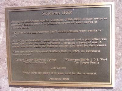
Soldiers Hole
W. C. Sanderson and Ambrose Lyall struck artesian water nearby in 1883.
In 1892 a twelve-battery stamp mill was erected and a post office was established under the name "Descanso", meaning a haven of rest. A school was built which the Mormon settlers also used for their church.
When the railroad by-passed Soldiers Hole in 1909, its usefulness came to an end.
The Grizzle Family •• The Cooper Family
Jim Collett
Erected 2000 by Cochise County Historical Society, Whitewater/Elfrida L.D.S. Ward, The Grizzle Family, The Cooper Family, Jim Collett.
Topics. This historical marker is listed in this topic list: Notable Places. A significant historical year for this entry is 1883.
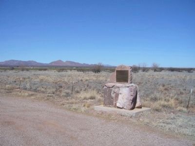
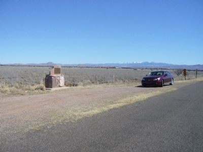
Location. 31° 42.007′ N, 109° 43.632′ W. Marker is near Elfrida, Arizona, in Cochise County. Marker is on West Gleeson Road, 2˝ miles west of Arizona Highway 191, on the right when traveling west. Touch for map. Marker is in this post office area: Elfrida AZ 85610, United States of America. Touch for directions.
Other nearby markers. At least 1 other marker is within 7 miles of this marker, measured as the crow flies. Historic Gleeson Jail (approx. 6.4 miles away).
Credits. This page was last revised on June 16, 2016. It was originally submitted on March 8, 2010, by Bill Kirchner of Tucson, Arizona. This page has been viewed 2,569 times since then and 129 times this year. Photos: 1, 2, 3. submitted on March 8, 2010, by Bill Kirchner of Tucson, Arizona. • Syd Whittle was the editor who published this page.


