Guelph in Wellington County, Ontario — Central Canada (North America)
The President’s House
Photographed by Tim Boyd, September 1, 2025
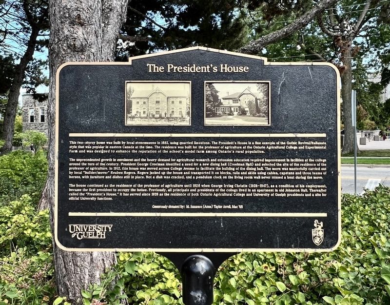
1. The President’s House Marker
This two-storey home was built by local stonemasons in 1882, using quarried limestone. The President's House is a fine example of the Gothic Revival/Italianate style that was popular in eastern Canada at the time. The residence was built for the professor of agriculture at the Ontario Agricultural College and Experimental Farm and was designed to enhance the reputation of the school's model farm among Ontario's rural population.
The umprecedented growth in enrolment and the heavy demand for agricultural research and extension education required improvement in facilities at the college around the turn of the century. President George Creelman identified a need for a new dining hall (Creelman Hall) and selected the site of the residence of the professor of agriculture. In 1912, this house was moved across College Avenue to facilitate the building of the dining hall. The move was masterfully carried out by local builder/mover Reuben Rogers. Rogers jacked up the house and transported it on blocks, rails and skids using cables, capstans and three teams of horses, with furniture and dishes still in place. Not a dish was
this page online
The house continued as the residence of the professor of agriculture until 1928 when George Irving Christie (1928-1947), as a condition of his employment, became the first president to occupy the house. Previously, all principals and presidents of the college lived In an apartment in old Johnston Hall. Thereafter called the "President's House," it has served since 1928 as the residence of both Ontario Agricultural College and University of Guelph presidents and a site for official University functions.
Generously donated by: M. Suzanne (Anne) Taylor Arrell Mac ‘68
Erected by Uni of Guelph.
Topics. This historical marker is listed in these topic lists: Agriculture • Architecture • Education. A significant historical year for this entry is 1882.
Location. 43° 32.038′ N, 80° 13.817′ W. Marker is in Guelph, Ontario, in Wellington County. It is on College Avenue East 0.3 kilometers east of Gordon Street, on the left when traveling east. To read the marker, it must be accessed on the front plaza the of the Gordon S Lang School of
Photographed by Tim Boyd, September 1, 2025
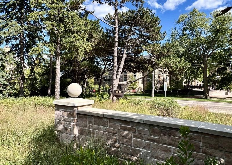
2. The President’s House Marker
Centre of photo, facing toward College Avenue East

Regionally, this marker is in the Huron-Perth-Waterloo-Wellington Area and in Southwestern Ontario. It is also in Central Canada. Globally, it is in North America, the Western Hemisphere, the Western World, and the Anglosphere. Historically, it finds itself in what was once a British colony, the Viceroyalty of New France, the Haudenosaunee (Iroquois) Confederacy, and Rupert’s Land.
Other nearby markers. At least 8 other markers are within walking distance of this marker: The Gordon S. Lang School of Business and Economics (within shouting distance of this marker); Macdonald Hall (within shouting distance of this marker); George Creelman 1869-1929 (within shouting distance of this marker); James Mills 1840-1924 (within shouting distance of this marker); The Founding of the University of Guelph (about 120 meters away, measured in a direct line); George Alexander Drew 1894-1973 (about 120 meters away); Ontario Agricultural College (about 120 meters away); Entrance Old Main Building
Photographed by Tim Boyd, September 1, 2025
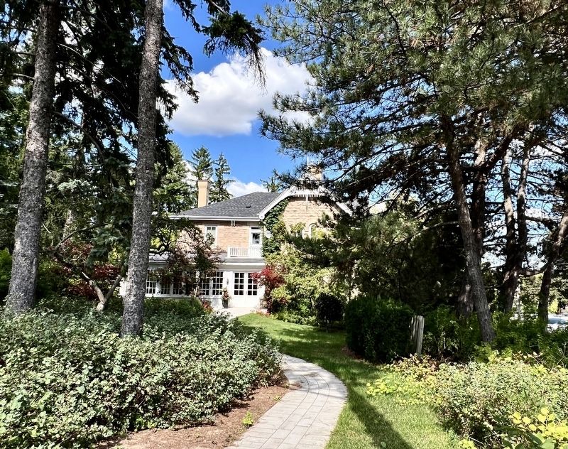
3. The President’s House, 2025
Facing north from the location of the marker
Credits. This page was last revised on September 7, 2025. It was originally submitted on September 7, 2025, by Tim Boyd of Hamilton, Ontario. This page has been viewed 68 times since then and 15 times this year. Photos: 1, 2, 3. submitted on September 7, 2025, by Tim Boyd of Hamilton, Ontario. • Andrew Ruppenstein was the editor who published this page.
