
Niagara-on-the-Lake in Niagara Region, Ontario — Central Canada (North America)
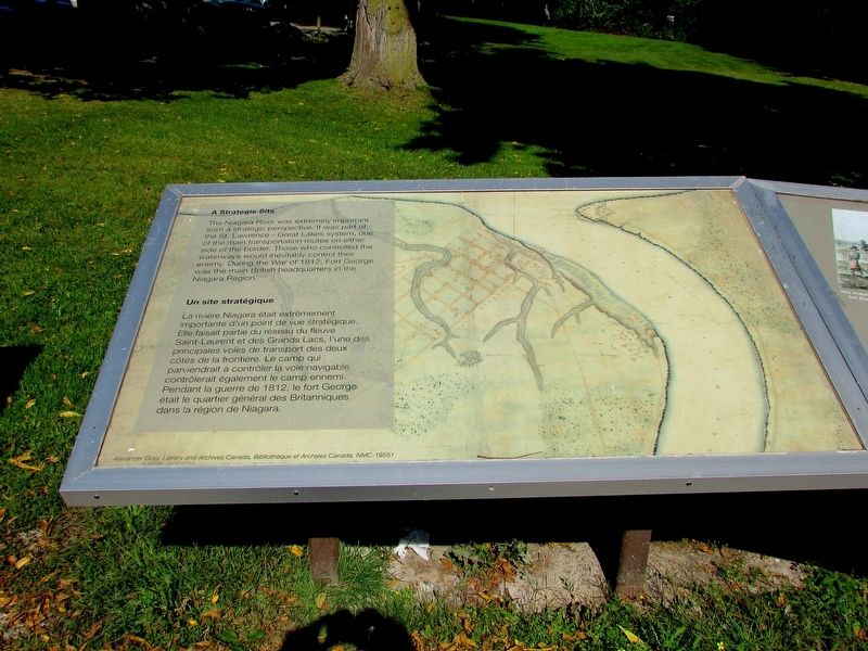
A Strategic Site
Un site stratégique
Photographed by Bill Coughlin, September 19, 2019
1. A Strategic Site Marker

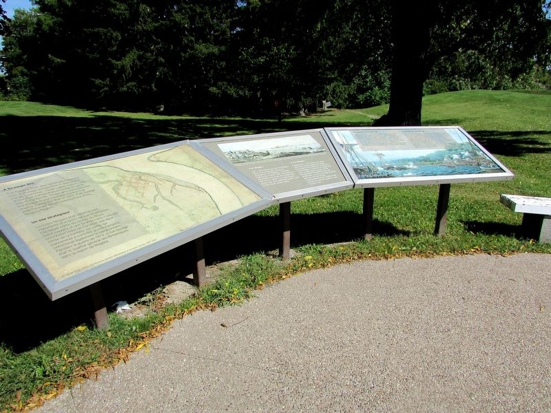
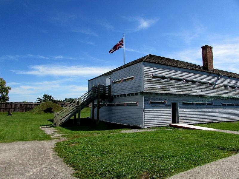
The Niagara River was extremely important from a strategic perspective. It was part of the St. Lawrence – Great Lakes system, one of the main transportation routes on either side of the border. Those who controlled the waterways would inevitably control their enemy. During the War of 1812, Fort George was the main British headquarters in the Niagara Region.
La riviére Niagara était extrémement importante d'un point de vue stratégique. Elle faisait partie du réseau du fleuve Saint-Laurent et des Grands Lacs, l'une des principales voies de transport des deux côtés de la frontière. Le camp qui parviendrait contrôler la voie navigable contrôlerait également le camp ennemi. Pendant la guerre de 1812, le fort George était le quartier général des Britanniques dans la région de Niagara.
Topics. This historical marker is listed in these topic lists: Forts and Castles • War of 1812. A significant historical year for this entry is 1812.
Location. 43° 15.125′ N, 79° 3.736′ W. Marker is in Niagara-on-the-Lake, Ontario, in Niagara Region. It can be reached from Queen's
this page online

Regionally, this marker is on Ontario’s Golden Horseshoe and in Niagara Canada. It is also in Central Canada. Globally, it is in North America, on the Great Lakes, in the Western Hemisphere, in the Western World, and in the Anglosphere. Historically, it finds itself in what was once a British colony, the Viceroyalty of New France, the Haudenosaunee (Iroquois) Confederacy, and Rupert’s Land.
Other nearby markers. At least 8 other markers are within walking distance of this marker: Fort Niagara (here, next to this marker); The Battle of Fort George (here, next to this marker); The Fortified Mouth of the Niagara River (here, next to this marker); Sir Isaac Brock's First Burial Site (within shouting distance of this marker); Fort George (within shouting distance of this marker);
Photographed by Bill Coughlin, September 19, 2019
2. A Strategic Site Marker
Other markers no longer nearby. A Strategic Site (has been replaced with this marker); a different marker also named Fort Niagara (was here, next to this marker but has been replaced with another marker now near it); Niagara National Historic Sites (was about 120 meters away but has been confirmed missing); Welcome to Fort George (was about 120 meters away but has been confirmed missing).
Photographed by Bill Coughlin, September 19, 2019
3. Markers at Fort George
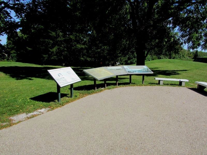
There are several markers at this location. The A Strategic Site marker is the second from the left.
Photographed by Bill Coughlin, September 19, 2019
4. Map from the Marker
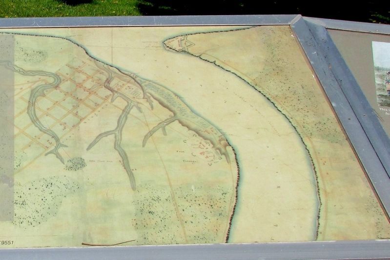
This map shows the strategic location of this area.
Photographed by Bill Coughlin, September 19, 2019
5. Fort George
Credits. This page was last revised on October 5, 2025. It was originally submitted on September 24, 2019, by Bill Coughlin of Woodland Park, New Jersey. This page has been viewed 277 times since then and 20 times this year. Last updated on September 8, 2025, by Kevin Westell of St. Catharines, Ontario. Photos: 1, 2, 3, 4, 5. submitted on September 24, 2019, by Bill Coughlin of Woodland Park, New Jersey. • Andrew Ruppenstein was the editor who published this page.
